
| Distance / Altitude | Location | Report Date / Time | Live Weather | Wind | Gusts | Temp. | Visibility | Cloud |
|---|---|---|---|---|---|---|---|---|
| 80 km SE / 10 m | Fort Ross- NU (Canada) | 2026-04-11 19:00 local (2026/04/11 23:00 GMT) | - | light winds from the NW (18 km/h at 320) | — | - | - - - | |
| 236 km N / 30 m | Resolute (Canada) | 2026-04-11 19:00 local (2026/04/11 23:00 GMT) | - | wind obs. (7 kph from 290 degs) was rejected (- km/h at -) | — | 0.0 | - - - | |
| 237 km N / 30 m | Resolute CS Airport (Nunavut) | 2026-04-11 19:00 local (2026/04/11 23:00 GMT) | - | light winds from the WNW (7 km/h at 290) | — | 0.0 | - - - | |
| 237 km N / 216 m | Resolute Airport (N.w. Territories) | 2026-04-11 18:00 local (2026/04/11 22:00 GMT) | - | moderate winds from the NNE (20 km/h at 30) | — | 48 | ||
| 237 km N / 139 m | Resolute (Canada) | 2026-04-11 17:00 local (2026/04/11 21:00 GMT) | - | light winds from the NE (13 km/h at 50) | -17°C | - | no observation | |
| 275 km SSW / 1 m | GatesheadIsland-NU (Canada) | 2026-04-11 17:00 local (2026/04/11 21:00 GMT) | - | light winds from the NE (15 km/h at 40) | -23°C | - | no observation | |
| 340 km W / 11 m | Stefansson Island- NU (Canada) | 2026-04-11 19:00 local (2026/04/11 23:00 GMT) | no report | wind obs. (18 kph from 230 degs) was rejected (- km/h at -) | — | - | - | |
| 340 km W / 11 m | Stefansson Island Airport (Nunavut) | 2026-04-11 18:00 local (2026/04/11 22:00 GMT) | - | light winds from the ESE (6 km/h at 110) | -24°C | 0.0 | ||
| 348 km SSE / 27 m | Taloyoak (Canada) | 2026-04-11 17:00 local (2026/04/11 21:00 GMT) | - | light winds from the NE (17 km/h at 50) | -21°C | 39 km | - mostly cloudy - | |
| 350 km SSE / 191 m | Spence Bay Airport (N.w. Territories) | 2026-04-11 18:00 local (2026/04/11 22:00 GMT) | Ice crystals | moderate winds from the NE (28 km/h at 50) | — | 24 | few few |
| Contours: | Roads & Rivers: | Select a
tide station / surf break / city |
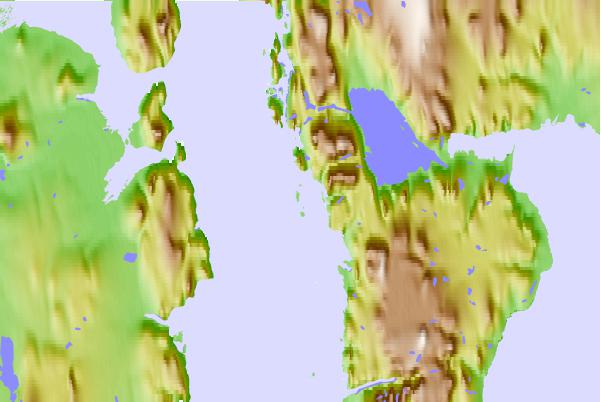
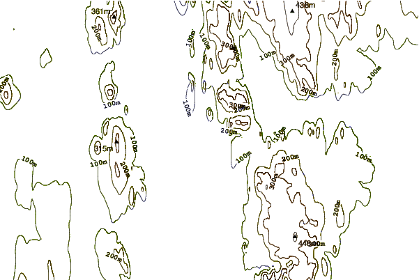
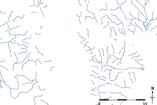
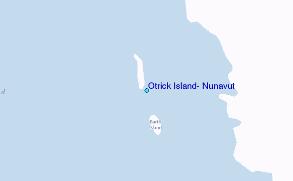
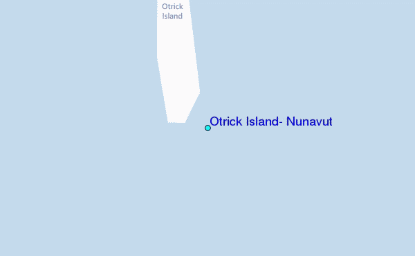
Use this relief map to navigate to tide stations, surf breaks and cities that are in the area of Otrick Island, Nunavut.
Other Nearby Locations' tide tables and tide charts to Otrick Island, Nunavut:
click location name for more details
 Surf breaks close to Otrick Island, Nunavut:
|
||
|---|---|---|
| Closest surf break | Graveyards | 1481 mi |
| Second closest surf break | Cannon Beach | 1483 mi |
| Third closest surf break | Ocean Cape | 1483 mi |
| Fourth closest surf break | Tow Hill Beach | 1654 mi |
| Fifth closest surf break | Bird Point (Tidal Bore) | 1656 mi |


 Nearest
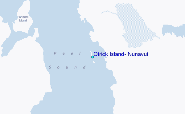