
| Distance / Altitude | Location | Report Date / Time | Live Weather | Wind | Gusts | Temp. | Visibility | Cloud |
|---|---|---|---|---|---|---|---|---|
| 56 km NW / 15 m | ASCATB146E19N (Marine) | 2026-05-22 09:09 local (2026/05/21 23:09 GMT) | moderate winds from the E (23 km/h at 85) | — | - km | |||
| 67 km S / 15 m | ASCATB146E18N (Marine) | 2026-05-22 09:10 local (2026/05/21 23:10 GMT) | moderate winds from the E (21 km/h at 84) | — | - km | |||
| 135 km W / 15 m | ASCATB145E19N (Marine) | 2026-05-22 09:10 local (2026/05/21 23:10 GMT) | moderate winds from the ENE (21 km/h at 75) | — | - km | |||
| 142 km SW / 15 m | ASCATB145E18N (Marine) | 2026-05-22 09:10 local (2026/05/21 23:10 GMT) | moderate winds from the ENE (24 km/h at 78) | — | - km | |||
| 156 km N / 15 m | ASCATB146E20N (Marine) | 2026-05-22 09:09 local (2026/05/21 23:09 GMT) | fresh winds from the E (30 km/h at 82) | — | - km | |||
| 179 km S / 15 m | ASCATB146E17N (Marine) | 2026-05-22 09:10 local (2026/05/21 23:10 GMT) | moderate winds from the ENE (26 km/h at 73) | — | - km | |||
| 188 km NNE / 15 m | ASCATB147E20N (Marine) | 2026-05-22 09:09 local (2026/05/21 23:09 GMT) | fresh winds from the ENE (29 km/h at 70) | — | - km | |||
| 206 km WNW / 15 m | ASCATB145E20N (Marine) | 2026-05-22 09:09 local (2026/05/21 23:09 GMT) | moderate winds from the E (25 km/h at 80) | — | - km | |||
| 225 km SSW / 15 m | ASCATB145E17N (Marine) | 2026-05-22 09:10 local (2026/05/21 23:10 GMT) | moderate winds from the ENE (28 km/h at 75) | — | - km | |||
| 233 km WSW / 15 m | ASCATB144E19N (Marine) | 2026-05-22 09:10 local (2026/05/21 23:10 GMT) | moderate winds from the ENE (24 km/h at 78) | — | - km |
| Contours: | Roads & Rivers: | Select a
tide station / surf break / city |
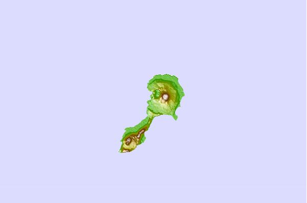
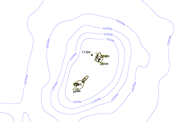
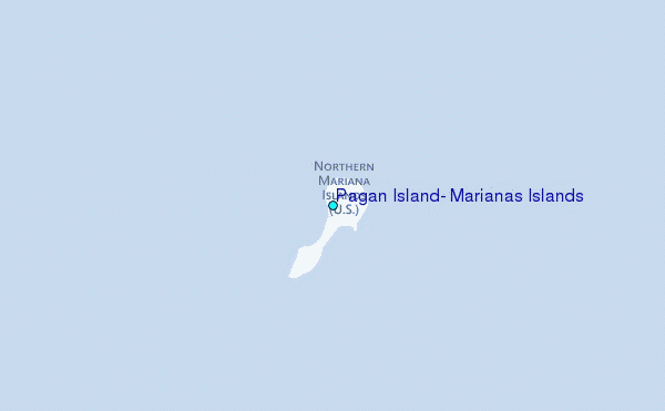
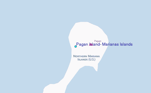
Use this relief map to navigate to tide stations, surf breaks and cities that are in the area of Pagan Island, Marianas Islands.
Other Nearby Locations' tide tables and tide charts to Pagan Island, Marianas Islands:
click location name for more details
 Surf breaks close to Pagan Island, Marianas Islands:
|
||
|---|---|---|
| Closest surf break | Tank Beach | 197 mi |
| Second closest surf break | Bird Island | 198 mi |
| Third closest surf break | Boat Basin Rights | 328 mi |
| Fourth closest surf break | Ricks Reef | 328 mi |
| Fifth closest surf break | Boat Basin Lefts | 329 mi |


 Nearest
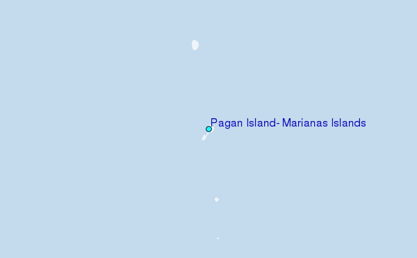