
| Distance / Altitude | Location | Report Date / Time | Live Weather | Wind | Gusts | Temp. | Visibility | Cloud |
|---|---|---|---|---|---|---|---|---|
| 319 km S / 3 m | Tanapag Buoy- Saipan (Marine) | 2026-07-07 20:00 local (2026/07/07 10:00 GMT) | - (- km/h at -) | 29°C | - | |||
| 335 km S / 218 m | Saipan International Airport (Micronesia) | 2026-07-07 17:54 local (2026/07/07 07:54 GMT) | - | fresh winds from the SE (31 km/h at 140) | 28°C | 0.0 | ||
| 488 km NW / 72 m | Cheung Chau (Peoples Republic of China) | 2026-07-07 19:00 local (2026/07/07 09:00 GMT) | no report | moderate winds from the SE (22 km/h at 140) | 30°C | - | - | |
| 516 km S / 217 m | Mariana/Andersen Airport (Guam) | 2026-07-07 19:40 local (2026/07/07 09:40 GMT) | Dry and cloudy | fresh winds from the SSE (31 km/h at 160) | 28°C | 16 | overcast | |
| 526 km S / 36 m | Tamuning (Guam) | 2026-07-07 20:18 local (2026/07/07 10:18 GMT) | dry | light winds from the S (14 km/h at 173) | 28°C | - | - - 0 | |
| 530 km S / 15 m | SHIP2592 (Marine) | 2026-07-07 18:00 local (2026/07/07 08:00 GMT) | - (- km/h at -) | — | - km | |||
| 530 km S / 3 m | SHIP4854 (Marine) | 2026-07-07 18:00 local (2026/07/07 08:00 GMT) | - (- km/h at -) | 27°C | - | |||
| 530 km S / 15 m | SHIP7539 (Marine) | 2026-07-07 18:00 local (2026/07/07 08:00 GMT) | - (- km/h at -) | — | - km | |||
| 531 km S / 3 m | BUOY-PGBP7 (Marine) | 2026-07-07 19:48 local (2026/07/07 09:48 GMT) | moderate winds from the S (21 km/h at 180) | — | - | |||
| 533 km S / 3 m | BUOY-APRP7 (Marine) | 2026-07-07 19:48 local (2026/07/07 09:48 GMT) | light winds from the S (13 km/h at 170) | 28°C | - |
| Contours: | Roads & Rivers: | Select a
tide station / surf break / city |
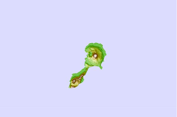
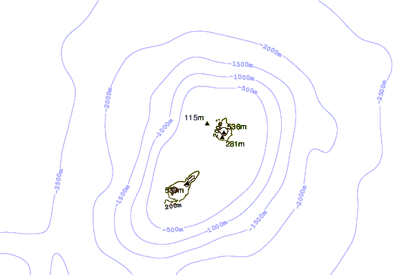
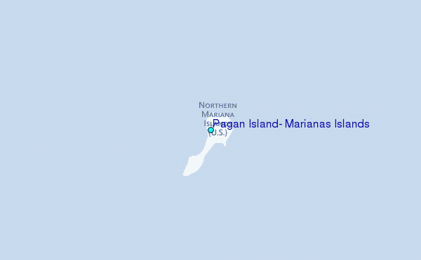
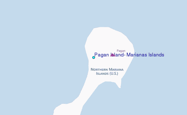
Use this relief map to navigate to tide stations, surf breaks and cities that are in the area of Pagan Island, Marianas Islands.
Other Nearby Locations' tide tables and tide charts to Pagan Island, Marianas Islands:
click location name for more details
 Surf breaks close to Pagan Island, Marianas Islands:
|
||
|---|---|---|
| Closest surf break | Tank Beach | 197 mi |
| Second closest surf break | Bird Island | 198 mi |
| Third closest surf break | Boat Basin Rights | 328 mi |
| Fourth closest surf break | Ricks Reef | 328 mi |
| Fifth closest surf break | Boat Basin Lefts | 329 mi |


 Nearest
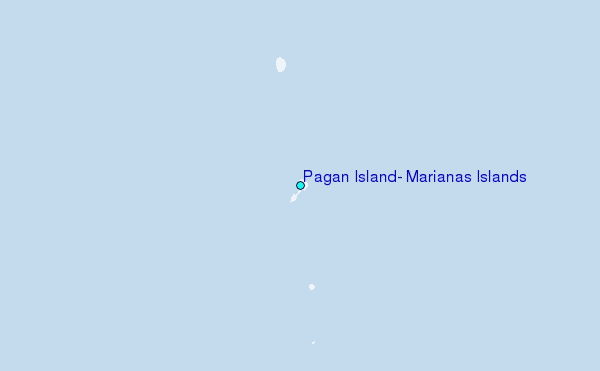