
| Distance / Altitude | Location | Report Date / Time | Live Weather | Wind | Gusts | Temp. | Visibility | Cloud |
|---|---|---|---|---|---|---|---|---|
| 7 km S / 200 m | Gadji (New Caledonia) | 2026-03-07 13:00 local (2026/03/07 02:00 GMT) | - | light winds from the WSW (11 km/h at 242) | 30°C | - | - - 0 | |
| 15 km SE / 55 m | Rivière Salée wx (New Caledonia) | 2026-03-07 12:18 local (2026/03/07 01:18 GMT) | - | - (- km/h at ) | 28°C | - | - - 0 | |
| 18 km SSE / 71 m | Noumea (Nlle -Caledonie) (New Caledonia) | 2026-03-07 12:00 local (2026/03/07 01:00 GMT) | no report | light winds from the ENE (11 km/h at 60) | 20°C | - | - | |
| 19 km SSE / 17 m | CNC (New Caledonia) | 2026-03-07 13:00 local (2026/03/07 02:00 GMT) | - | light winds from the SSW (19 km/h at 213) | 29°C | - | - - 0 | |
| 20 km WNW / 218 m | La Tontouta International Airport, New Caledonia (Samoa/polynesia) | 2026-03-07 12:30 local (2026/03/07 01:30 GMT) | - | light winds from the SW.(Wind varies from 180 to 260 degs) (9 km/h at 220) | — | 0.0 | few | |
| 20 km WNW / 11 m | LA Tontouta (Nlle -Caledonie) (New Caledonia) | 2026-03-07 12:00 local (2026/03/07 01:00 GMT) | no report | calm (4 km/h at 80) | 17°C | 60 | - | |
| 29 km SE / 7 m | Mont Dore corniche (New Caledonia) | 2026-03-07 13:00 local (2026/03/07 02:00 GMT) | - | calm (4 km/h at 206) | — | - | - - 0 | |
| 46 km WNW / 15 m | SHIP2987 (Marine) | 2026-03-07 11:00 local (2026/03/07 00:00 GMT) | light winds from the SW (7.2 km/h at 220) | — | - km | |||
| 46 km WNW / 15 m | SHIP4587 (Marine) | 2026-03-07 11:00 local (2026/03/07 00:00 GMT) | light winds from the SW (7.2 km/h at 220) | — | - km | |||
| 46 km WNW / 15 m | SHIP7349 (Marine) | 2026-03-07 11:00 local (2026/03/07 00:00 GMT) | light winds from the SW (7.2 km/h at 220) | — | - km |
| Contours: | Roads & Rivers: | Select a
tide station / surf break / city |
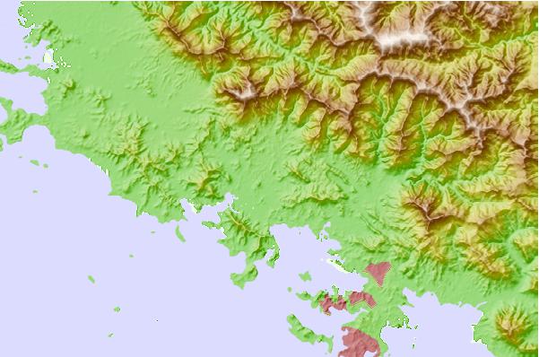
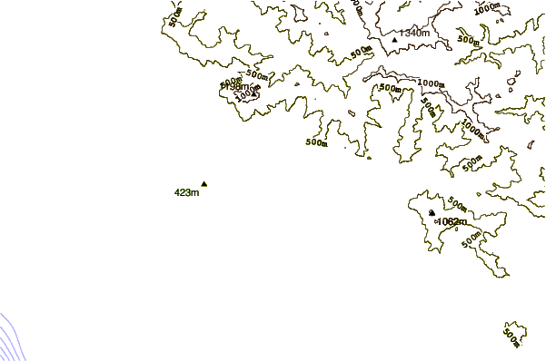
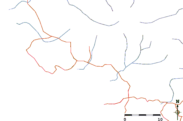
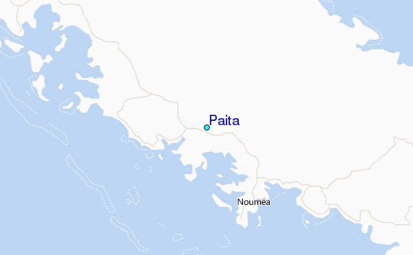
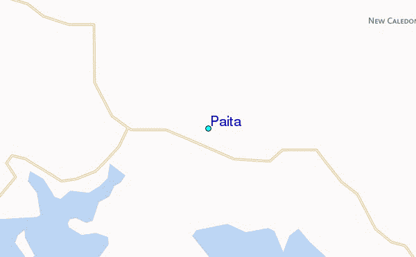
Use this relief map to navigate to tide stations, surf breaks and cities that are in the area of Paita.
Other Nearby Locations' tide tables and tide charts to Paita:
click location name for more details
 Surf breaks close to Paita:
|
||
|---|---|---|
| Closest surf break | Dumbea Rights | 17 mi |
| Second closest surf break | Dumbea Left | 17 mi |
| Third closest surf break | Corvette | 25 mi |
| Fourth closest surf break | Lighthouse Right | 25 mi |
| Fifth closest surf break | Skateparks | 26 mi |


 Nearest
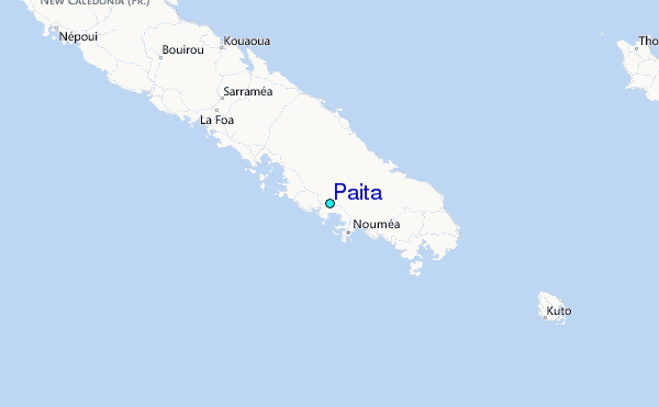