
| Distance / Altitude | Location | Report Date / Time | Live Weather | Wind | Gusts | Temp. | Visibility | Cloud |
|---|---|---|---|---|---|---|---|---|
| 7 km S / 200 m | Gadji (New Caledonia) | 2026-07-10 06:00 local (2026/07/09 19:00 GMT) | - | light winds from the NE (9 km/h at 49) | 18°C | - | - - 0 | |
| 18 km SSE / 71 m | Noumea (Nlle -Caledonie) (New Caledonia) | 2026-07-10 06:00 local (2026/07/09 19:00 GMT) | no report | wind obs. (11 kph from 60 degs) was rejected (- km/h at -) | 20°C | - | - | |
| 19 km SSE / 17 m | CNC (New Caledonia) | 2026-07-10 06:00 local (2026/07/09 19:00 GMT) | - | light winds from the SSW (15 km/h at 196) | 19°C | - | - - 0 | |
| 20 km WNW / 218 m | La Tontouta International Airport, New Caledonia (Samoa/polynesia) | 2026-07-10 05:30 local (2026/07/09 18:30 GMT) | Dry and cloudy | light winds from the N.(Wind varies from 330 to 040 degs) (6 km/h at 10) | 15°C | 10.0 | few broken overcast | |
| 20 km WNW / 11 m | LA Tontouta (Nlle -Caledonie) (New Caledonia) | 2026-07-10 06:00 local (2026/07/09 19:00 GMT) | no report | calm (4 km/h at 80) | 17°C | 60 | - | |
| 57 km ESE / 47 m | Prony wx (New Caledonia) | 2026-07-10 06:36 local (2026/07/09 19:36 GMT) | - | calm (0 km/h at 0) | — | - | - - 0 | |
| 123 km ESE / 104 m | Moue (Ile Des Pins) (New Caledonia) | 2026-07-10 06:00 local (2026/07/09 19:00 GMT) | no report | wind obs. (11 kph from 140 degs) was rejected (- km/h at -) | 18°C | 20 | - | |
| 167 km N / 9 m | Ouloup (Ile Ouvea) (New Caledonia) | 2026-07-10 05:00 local (2026/07/09 18:00 GMT) | no report | light winds from the SE (18 km/h at 130) | 22°C | 20 | - - - | |
| 175 km NNE / 32 m | Ouanaham (Ile Lifou) (New Caledonia) | 2026-07-10 06:00 local (2026/07/09 19:00 GMT) | no report | light winds from the SE (11 km/h at 140) | 21°C | 60 | - | |
| 187 km ENE / 48 m | LA Roche (Ile Mare) (New Caledonia) | 2026-07-10 06:00 local (2026/07/09 19:00 GMT) | no report | calm (4 km/h at 240) | 17°C | 20 | - - - |
| Contours: | Roads & Rivers: | Select a
tide station / surf break / city |
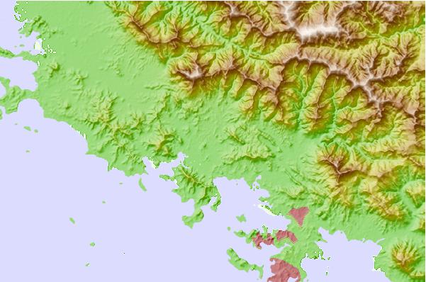
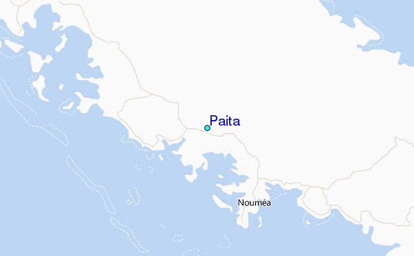
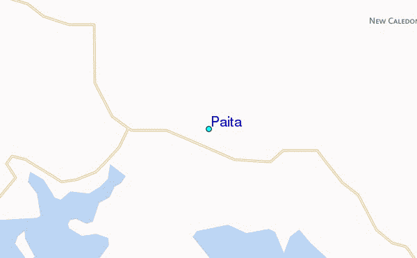
Use this relief map to navigate to tide stations, surf breaks and cities that are in the area of Paita.
Other Nearby Locations' tide tables and tide charts to Paita:
click location name for more details
 Surf breaks close to Paita:
|
||
|---|---|---|
| Closest surf break | Dumbea Rights | 17 mi |
| Second closest surf break | Dumbea Left | 17 mi |
| Third closest surf break | Corvette | 25 mi |
| Fourth closest surf break | Lighthouse Right | 25 mi |
| Fifth closest surf break | Skateparks | 26 mi |


 Nearest
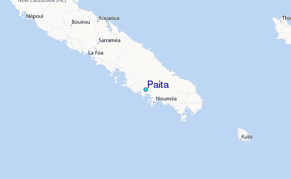