
| Distance / Altitude | Location | Report Date / Time | Live Weather | Wind | Gusts | Temp. | Visibility | Cloud |
|---|---|---|---|---|---|---|---|---|
| 3 km SE / 198 m | Pantelleria (Italy) | 2025-12-21 07:00 local (2025/12/21 06:00 GMT) | - | light winds from the E (19 km/h at 90) | 14°C | 10.0 | - no observation - | |
| 79 km WSW / 172 m | Kelibia Airport (Tunisia) | 2025-12-21 07:00 local (2025/12/21 06:00 GMT) | Intermittent light rain | wind obs. (6 kph from 250 degs) was rejected (- km/h at -) | 15°C | 28 km | - mostly cloudy - | |
| 107 km NE / 8 m | Tre Fontane wx (Italy) | 2025-12-21 07:05 local (2025/12/21 06:05 GMT) | dry | moderate winds from the E (23 km/h at 87) | 16°C | - | - - 0 | |
| 117 km SW / 108 m | Nabeul (Tunisia) | 2025-12-21 07:00 local (2025/12/21 06:00 GMT) | - | calm (4 km/h at 300) | 13°C | - | no observation | |
| 129 km NE / 466 m | Partanna (Italy) | 2025-12-21 07:13 local (2025/12/21 06:13 GMT) | dry | calm (3 km/h at 277) | 12°C | - | - - 0 | |
| 129 km NNE / 5 m | TrapaniBirgiRds (Italy) | 2025-12-21 07:00 local (2025/12/21 06:00 GMT) | - | light winds from the E (6 km/h at 100) | 13°C | 35 km | - mostly cloudy - | |
| 135 km NE / 411 m | Santa Margherita di Belice wx (Italy) | 2025-12-21 07:03 local (2025/12/21 06:03 GMT) | dry | calm (0 km/h at 211) | 11°C | - | - - 0 | |
| 153 km WSW / 240 m | Tunis/Carthage Airport (Tunisia) | 2025-12-21 07:00 local (2025/12/21 06:00 GMT) | Intermittent light rain | light winds from the SSW (7 km/h at 200) | 14°C | 27 km | overcast | |
| 154 km WNW / 3 m | SHIP2100 (Marine) | 2025-12-21 07:00 local (2025/12/21 06:00 GMT) | light winds from the ESE (7 km/h at 110) | 17°C | - | |||
| 154 km WNW / 3 m | SHIP7274 (Marine) | 2025-12-21 07:00 local (2025/12/21 06:00 GMT) | light winds from the ESE (7 km/h at 110) | 17°C | - |
| Contours: | Roads & Rivers: | Select a
tide station / surf break / city |

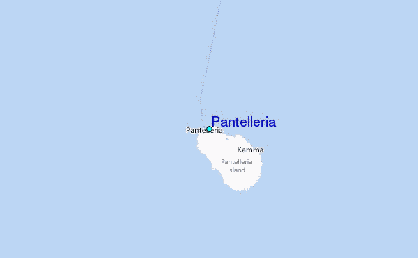
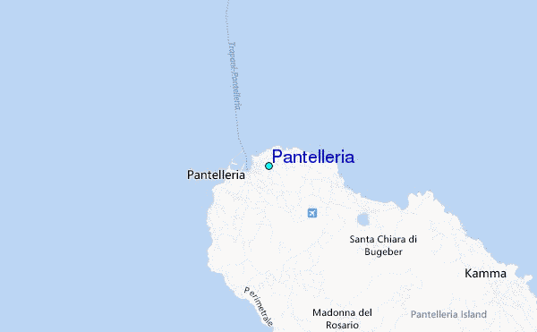
Use this relief map to navigate to tide stations, surf breaks and cities that are in the area of Pantelleria.
Other Nearby Locations' tide tables and tide charts to Pantelleria:
click location name for more details
 Surf breaks close to Pantelleria:
|
||
|---|---|---|
| Closest surf break | Kelibya | 46 mi |
| Second closest surf break | Capo San Marco (Tree Spot) | 75 mi |
| Third closest surf break | Foggia (Ciminiera) | 76 mi |
| Fourth closest surf break | Hamamet ( Le Port) | 85 mi |
| Fifth closest surf break | Backdoor | 87 mi |


 Nearest
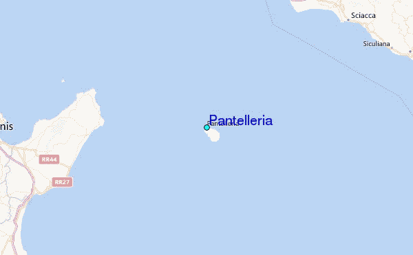