
| Distance / Altitude | Location | Report Date / Time | Live Weather | Wind | Gusts | Temp. | Visibility | Cloud |
|---|---|---|---|---|---|---|---|---|
| 2 km SE / 381 m | Pantelleria Airport (Italy) | 2026-07-09 20:20 local (2026/07/09 18:20 GMT) | Dry and partly cloudy | light winds from the N (6 km/h at 350) | 25°C | 10.0 | no cloud scattered overcast | |
| 107 km NE / 8 m | Tre Fontane wx (Italy) | 2026-07-09 21:06 local (2026/07/09 19:06 GMT) | dry | calm (5 km/h at 359) | 27°C | - | - - 0 | |
| 110 km W / 3 m | SHIP232 (Marine) | 2026-07-09 20:00 local (2026/07/09 18:00 GMT) | moderate winds from the NNW (28 km/h at 330) | 27°C | 20.4 | |||
| 121 km NNE / 7 m | Kite Club MarsalaRRD (Italy) | 2026-07-09 21:00 local (2026/07/09 19:00 GMT) | - | light winds from the NE (13 km/h at 35) | 27°C | - | - - 0 | |
| 110 km W / 15 m | SHIP2126 (Marine) | 2026-07-09 20:00 local (2026/07/09 18:00 GMT) | moderate winds from the NNW (27.720000000000002 km/h at 330) | 25°C | 17.7 km | |||
| 110 km W / 3 m | SHIP6417 (Marine) | 2026-07-09 20:00 local (2026/07/09 18:00 GMT) | moderate winds from the NNW (28 km/h at 330) | 27°C | 20.4 | |||
| 110 km W / 3 m | SHIP2836 (Marine) | 2026-07-09 20:00 local (2026/07/09 18:00 GMT) | moderate winds from the NNW (28 km/h at 330) | 27°C | 20.4 | |||
| 110 km W / 15 m | SHIP5999 (Marine) | 2026-07-09 20:00 local (2026/07/09 18:00 GMT) | moderate winds from the NNW (27.720000000000002 km/h at 330) | 25°C | 17.7 km | |||
| 110 km W / 3 m | SHIP784 (Marine) | 2026-07-09 20:00 local (2026/07/09 18:00 GMT) | moderate winds from the NNW (28 km/h at 330) | 27°C | 20.4 | |||
| 110 km W / 15 m | SHIP1539 (Marine) | 2026-07-09 20:00 local (2026/07/09 18:00 GMT) | moderate winds from the NNW (27.720000000000002 km/h at 330) | 25°C | 17.7 km |
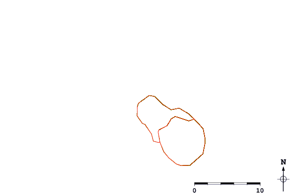
| Contours: | Roads & Rivers: | Select a
tide station / surf break / city |

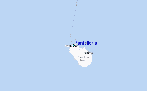
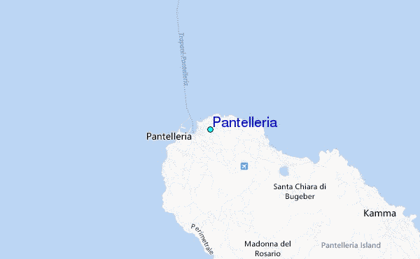
Use this relief map to navigate to tide stations, surf breaks and cities that are in the area of Pantelleria.
Other Nearby Locations' tide tables and tide charts to Pantelleria:
click location name for more details
 Surf breaks close to Pantelleria:
|
||
|---|---|---|
| Closest surf break | Kelibya | 46 mi |
| Second closest surf break | Capo San Marco (Tree Spot) | 75 mi |
| Third closest surf break | Foggia (Ciminiera) | 76 mi |
| Fourth closest surf break | Hamamet ( Le Port) | 85 mi |
| Fifth closest surf break | Backdoor | 87 mi |


 Nearest
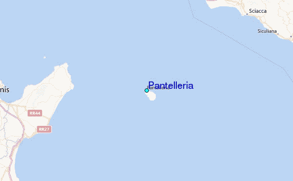