
| Distance / Altitude | Location | Report Date / Time | Live Weather | Wind | Gusts | Temp. | Visibility | Cloud |
|---|---|---|---|---|---|---|---|---|
| 69 km S / 616 m | Tuktut Nogait Airport (N.w. Territories) | 2026-07-26 06:00 local (2026/07/26 12:00 GMT) | - | calm (0 km/h at 0) | -1°C | 0.0 | ||
| 70 km S / 552 m | Tuktut Nogait- Nwt (Canada) | 2026-07-26 07:00 local (2026/07/26 13:00 GMT) | no report | light winds from the W (11 km/h at 260) | -1°C | - | - - - | |
| 93 km SW / 6 m | Paulatuk- Nwt (Canada) | 2026-07-26 07:00 local (2026/07/26 13:00 GMT) | no report | light winds from the W (11 km/h at 260) | 4°C | - | - | |
| 191 km NE / 30 m | Holman Cs- Nwt (Canada) | 2026-07-26 06:00 local (2026/07/26 12:00 GMT) | no report | wind obs. (11 kph from 310 degs) was rejected (- km/h at -) | 4°C | - | - - - | |
| 268 km NW / 88 m | Sachs Harbour Climate- Nwt (Canada) | 2026-07-26 06:00 local (2026/07/26 12:00 GMT) | no report | - (- km/h at -) | 0°C | - | - | |
| 357 km SE / 24 m | Kugluktuk Climate- NU (Canada) | 2026-07-26 06:00 local (2026/07/26 12:00 GMT) | no report | wind obs. (25 kph from 320 degs) was rejected (- km/h at -) | 4°C | - | - - - | |
| 357 km SE / 217 m | Coppermine Airport (N.w. Territories) | 2026-07-26 06:00 local (2026/07/26 12:00 GMT) | Dry and partly cloudy | light winds from the SSW (19 km/h at 200) | 4°C | 24 | few scattered | |
| 391 km NNE / 42 m | Thomsen River- Nwt (Canada) | 2026-07-26 07:00 local (2026/07/26 13:00 GMT) | no report | wind obs. (25 kph from 260 degs) was rejected (- km/h at -) | 1°C | - | - - - | |
| 423 km WSW / 15 m | SHIP7562 (Marine) | 2026-07-26 06:00 local (2026/07/26 12:00 GMT) | light winds from the SE (18.36 km/h at 130) | — | - km | |||
| 423 km WSW / 15 m | SHIP2232 (Marine) | 2026-07-26 06:00 local (2026/07/26 12:00 GMT) | light winds from the SE (18.36 km/h at 130) | — | - km |
| Contours: | Roads & Rivers: | Select a
tide station / surf break / city |
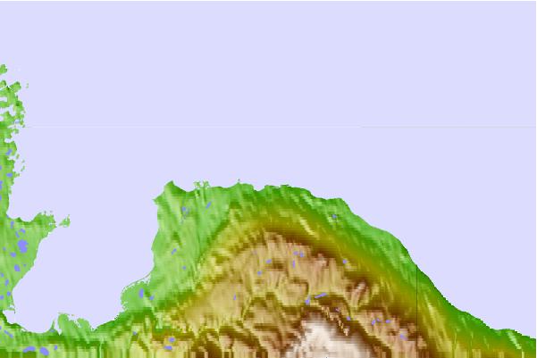
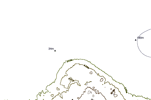
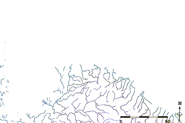
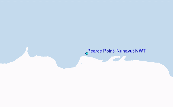
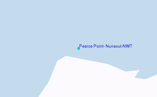
Use this relief map to navigate to tide stations, surf breaks and cities that are in the area of Pearce Point, Nunavut/NWT.
Other Nearby Locations' tide tables and tide charts to Pearce Point, Nunavut/NWT:
click location name for more details
 Surf breaks close to Pearce Point, Nunavut/NWT:
|
||
|---|---|---|
| Closest surf break | Graveyards | 876 mi |
| Second closest surf break | Ocean Cape | 877 mi |
| Third closest surf break | Cannon Beach | 878 mi |
| Fourth closest surf break | Bird Point (Tidal Bore) | 1039 mi |
| Fifth closest surf break | Tow Hill Beach | 1130 mi |


 Nearest
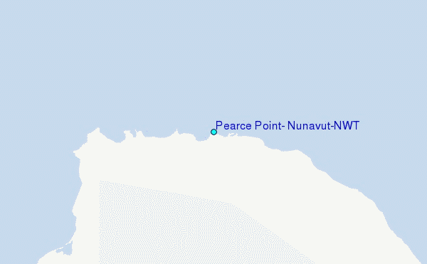