
| Distance / Altitude | Location | Report Date / Time | Live Weather | Wind | Gusts | Temp. | Visibility | Cloud |
|---|---|---|---|---|---|---|---|---|
| 140 km WSW / 42 m | Thomsen River- Nwt (Canada) | 2026-04-11 19:00 local (2026/04/11 23:00 GMT) | - | wind obs. (25 kph from 260 degs) was rejected (- km/h at -) | — | - | - - - | |
| 179 km WNW / 32 m | Aulavik National Park- Nwt (Canada) | 2026-04-11 19:00 local (2026/04/11 23:00 GMT) | - | moderate winds from the W (22 km/h at 270) | — | - | - | |
| 293 km S / 258 m | Holman Island Airport (N.w. Territories) | 2026-04-11 18:00 local (2026/04/11 22:00 GMT) | - | calm (0 km/h at 0) | -15°C | 24 | few few | |
| 294 km S / 30 m | Holman Cs- Nwt (Canada) | 2026-04-11 19:00 local (2026/04/11 23:00 GMT) | - | wind obs. (11 kph from 310 degs) was rejected (- km/h at -) | — | - | - | |
| 318 km ENE / 11 m | Stefansson Island- NU (Canada) | 2026-04-11 19:00 local (2026/04/11 23:00 GMT) | no report | wind obs. (18 kph from 230 degs) was rejected (- km/h at -) | — | - | - | |
| 318 km ENE / 11 m | Stefansson Island Airport (Nunavut) | 2026-04-11 18:00 local (2026/04/11 22:00 GMT) | - | light winds from the ESE (6 km/h at 110) | -24°C | 0.0 | ||
| 353 km NW / 2 m | Mould Bay Cs- Nwt (Canada) | 2026-04-11 18:00 local (2026/04/11 22:00 GMT) | no report | calm (4 km/h at 320) | -20°C | - | - no observation - | |
| 364 km SW / 199 m | Sachs Harbour Airport (N.w. Territories) | 2026-04-11 18:00 local (2026/04/11 22:00 GMT) | - | moderate winds from the NE (20 km/h at 40) | -23°C | 24 | few few | |
| 364 km SW / 88 m | Sachs Harbour Climate- Nwt (Canada) | 2026-04-11 19:00 local (2026/04/11 23:00 GMT) | - | - (- km/h at -) | — | - | - | |
| 369 km NE / 12 m | Rae Point (Nunavut) | 2026-04-11 18:00 local (2026/04/11 22:00 GMT) | - | light winds from the ENE (9 km/h at 60) | -22°C | 0.0 |
| Contours: | Roads & Rivers: | Select a
tide station / surf break / city |
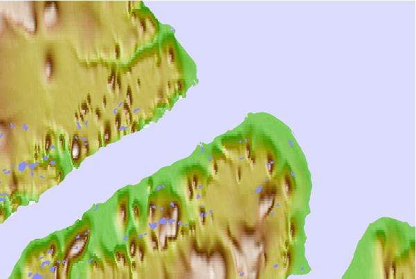
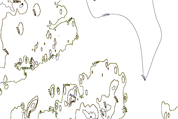
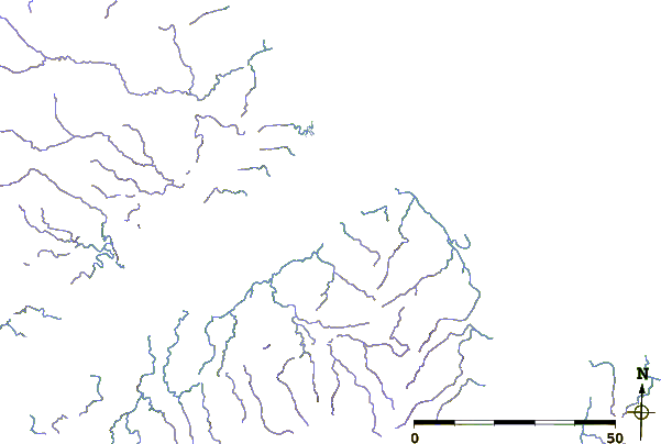
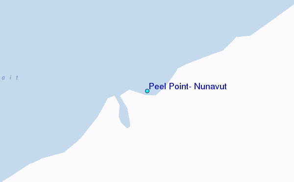
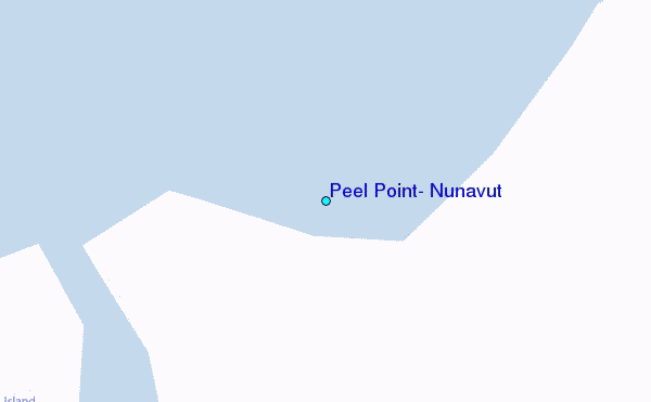
Use this relief map to navigate to tide stations, surf breaks and cities that are in the area of Peel Point, Nunavut.
Other Nearby Locations' tide tables and tide charts to Peel Point, Nunavut:
click location name for more details
 Surf breaks close to Peel Point, Nunavut:
|
||
|---|---|---|
| Closest surf break | Graveyards | 1150 mi |
| Second closest surf break | Ocean Cape | 1151 mi |
| Third closest surf break | Cannon Beach | 1152 mi |
| Fourth closest surf break | Bird Point (Tidal Bore) | 1273 mi |
| Fifth closest surf break | Tow Hill Beach | 1409 mi |


 Nearest
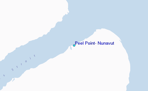