
| Distance / Altitude | Location | Report Date / Time | Live Weather | Wind | Gusts | Temp. | Visibility | Cloud |
|---|---|---|---|---|---|---|---|---|
| 18 km NNE / 219 m | De Kooy Airfield - Den Helder (Netherlands) | 2025-12-18 02:25 local (2025/12/18 01:25 GMT) | Dry and cloudy | moderate winds from the S (28 km/h at 180) | 6°C | 10.0 | few overcast | |
| 18 km NNE / 219 m | De Kooy (Netherlands) | 2025-12-18 02:25 local (2025/12/18 01:25 GMT) | Dry and cloudy | moderate winds from the S (28 km/h at 180) | 6°C | 10.0 | few overcast | |
| 20 km NNE / 1 m | DEKooijVK (Netherlands) | 2025-12-18 03:00 local (2025/12/18 02:00 GMT) | State of sky unchanged | fresh winds from the S (32 km/h at 180) | 7°C | 39 km | overcast | |
| 22 km NE / 6 m | 971 (Netherlands) | 2025-12-18 03:00 local (2025/12/18 02:00 GMT) | - | strong winds from the S (50 km/h at 171) | 7°C | - | - - 0 | |
| 26 km ESE / -2 m | Berkenhout (Netherlands) | 2025-12-18 02:00 local (2025/12/18 01:00 GMT) | - | wind obs. (14 kph from 60 degs) was rejected (- km/h at -) | — | 30 | - no observation - | |
| 26 km N / 0 m | Texel Hors (Netherlands) | 2025-12-18 01:00 local (2025/12/18 00:00 GMT) | no report | wind obs. (14 kph from 80 degs) was rejected (- km/h at -) | — | - | - | |
| 29 km S / 8 m | Wijk Aan Zee Aws (Netherlands) | 2025-12-18 01:00 local (2025/12/18 00:00 GMT) | - | - (- km/h at -) | — | - | - | |
| 34 km S / 4 m | IjmuidenWP (Netherlands) | 2025-12-18 03:00 local (2025/12/18 02:00 GMT) | - | fresh winds from the S (32 km/h at 180) | — | - | no observation | |
| 35 km S / 0 m | Ijmond WP (Netherlands) | 2025-12-18 01:00 local (2025/12/18 00:00 GMT) | no report | wind obs. (11 kph from 100 degs) was rejected (- km/h at -) | — | - | - | |
| 38 km ESE / 1 m | Wijdenes WP (Netherlands) | 2025-12-18 03:00 local (2025/12/18 02:00 GMT) | no report | wind obs. (18 kph from 60 degs) was rejected (- km/h at -) | — | - | - |
| Contours: | Roads & Rivers: | Select a
tide station / surf break / city |
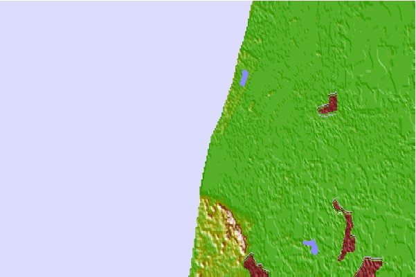
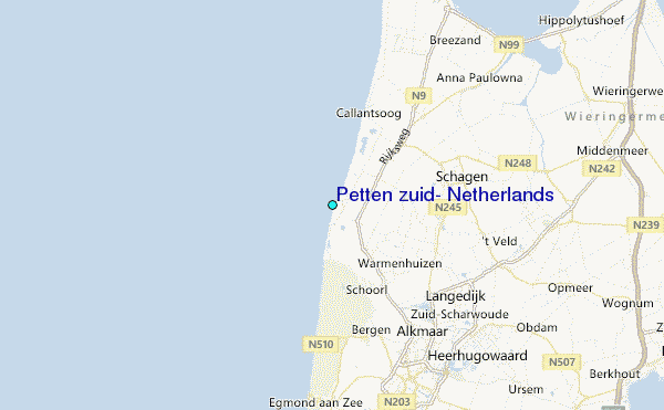
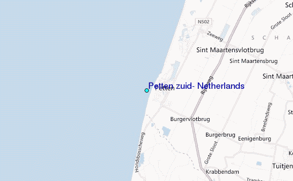
Use this relief map to navigate to tide stations, surf breaks and cities that are in the area of Petten zuid, Netherlands.
Other Nearby Locations' tide tables and tide charts to Petten zuid, Netherlands:
click location name for more details
 Surf breaks close to Petten zuid, Netherlands:
|
||
|---|---|---|
| Closest surf break | Petten | 1 mi |
| Second closest surf break | Camperduin | 2 mi |
| Third closest surf break | Hargen | 4 mi |
| Fourth closest surf break | Bergen aan Zee | 8 mi |
| Fifth closest surf break | Egmond aan Zee | 11 mi |


 Nearest
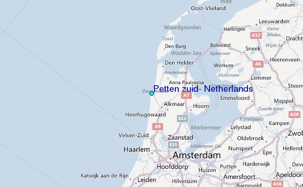