
| Distance / Altitude | Location | Report Date / Time | Live Weather | Wind | Gusts | Temp. | Visibility | Cloud |
|---|---|---|---|---|---|---|---|---|
| 109 km S / 64 m | lightning 82km WNW of Cooktown (Australia) | 2025-12-25 17:45 local (2025/12/25 07:45 GMT) | Thunderstorm | (- km/h at -) | — | |||
| 126 km SE / 19 m | Cape Flattery (Australia) | 2025-12-25 18:00 local (2025/12/25 08:00 GMT) | no report | wind obs. (20 kph from 150 degs) was rejected (- km/h at -) | 24°C | - | - no observation - | |
| 144 km W / 95 m | lightning 186km E of Weipa (Australia) | 2025-12-25 16:16 local (2025/12/25 06:16 GMT) | Thunderstorm | (- km/h at -) | — | |||
| 158 km W / 244 m | Coen Airport (Australia) | 2025-12-25 17:00 local (2025/12/25 07:00 GMT) | - | wind obs. (9 kph from 290 degs) was rejected (- km/h at -) | 30°C | - | no observation | |
| 158 km W / 244 m | Coen Airport (Australia) | 2025-12-25 18:00 local (2025/12/25 08:00 GMT) | - | light winds from the ENE (7 km/h at 60) | — | - | - scattered - | |
| 162 km SSE / 478 m | Cooktown Airport (Australia) | 2025-12-25 18:00 local (2025/12/25 08:00 GMT) | no report | wind obs. (9 kph from 150 degs) was rejected (- km/h at -) | 22°C | - | - mostly cloudy - | |
| 199 km WNW / 18 m | Lockhart River (Australia) | 2025-12-25 17:00 local (2025/12/25 07:00 GMT) | no report | wind obs. (20 kph from 270 degs) was rejected (- km/h at -) | 25°C | - | - no observation - | |
| 212 km S / 240 m | Palmerville (Australia) | 2025-12-25 17:00 local (2025/12/25 07:00 GMT) | no report | wind obs. (7 kph from 70 degs) was rejected (- km/h at -) | 20°C | - | - no observation - | |
| 273 km SSE / 4 m | Low Isles Lighthouse (Australia) | 2025-12-25 18:00 local (2025/12/25 08:00 GMT) | Patches of fog | light winds from the NNW (9 km/h at 330) | 28°C | - | - no observation - | |
| 312 km W / 40 m | Scherger Raaf (Australia) | 2025-12-25 18:00 local (2025/12/25 08:00 GMT) | No report | wind obs. (6 kph from 10 degs) was rejected (- km/h at -) | 28°C | - | - overcast - |
| Contours: | Roads & Rivers: | Select a
tide station / surf break / city |
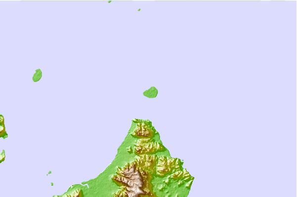
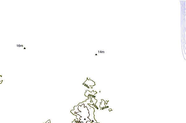
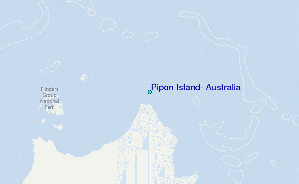
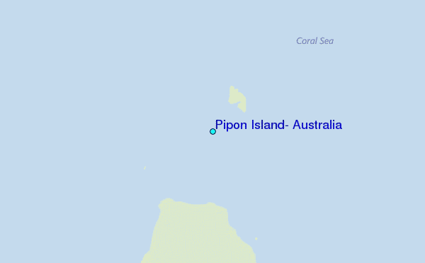
Use this relief map to navigate to tide stations, surf breaks and cities that are in the area of Pipon Island, Australia.
Other Nearby Locations' tide tables and tide charts to Pipon Island, Australia:
click location name for more details
 Surf breaks close to Pipon Island, Australia:
|
||
|---|---|---|
| Closest surf break | Eimeo Point | 567 mi |
| Second closest surf break | Dolphin Heads | 567 mi |
| Third closest surf break | Lamberts Beach | 571 mi |
| Fourth closest surf break | North Wall Mackay Harbour Beach | 572 mi |
| Fifth closest surf break | South Wall Mackay Harbour | 574 mi |


 Nearest
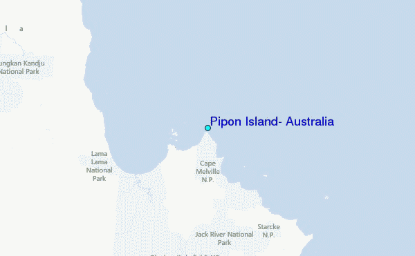