
| Distance / Altitude | Location | Report Date / Time | Live Weather | Wind | Gusts | Temp. | Visibility | Cloud |
|---|---|---|---|---|---|---|---|---|
| 69 km E / 217 m | Pond Inlet Airport (N.w. Territories) | 2026-07-25 19:00 local (2026/07/25 23:00 GMT) | Clear | light winds from the ENE (13 km/h at 60) | 16°C | 14 | ||
| 71 km E / 55 m | Pond Inlet Climate- NU (Canada) | 2026-07-25 19:00 local (2026/07/25 23:00 GMT) | no report | wind obs. (7 kph from 250 degs) was rejected (- km/h at -) | 2°C | - | - | |
| 170 km W / 2 m | Arctic Bay Airport (N.w. Territories) | 2026-07-25 19:00 local (2026/07/25 23:00 GMT) | - | calm (4 km/h at 320) | 10°C | 0.0 | ||
| 170 km W / 10 m | Arctic Bay Cs- NU (Canada) | 2026-07-25 19:00 local (2026/07/25 23:00 GMT) | no report | light winds from the NW (14 km/h at 320) | 2°C | - | - - - | |
| 178 km N / 15 m | ASCATB279E74N (Marine) | 2026-07-25 18:05 local (2026/07/25 22:05 GMT) | light winds from the WSW (15 km/h at 241) | — | - km | |||
| 183 km N / 15 m | ASCATB280E74N (Marine) | 2026-07-25 18:05 local (2026/07/25 22:05 GMT) | light winds from the WSW (17 km/h at 240) | — | - km | |||
| 183 km NW / 15 m | ASCATB278E74N (Marine) | 2026-07-25 18:05 local (2026/07/25 22:05 GMT) | light winds from the WSW (8 km/h at 252) | — | - km | |||
| 190 km ENE / 15 m | ASCATB285E73N (Marine) | 2026-07-25 18:05 local (2026/07/25 22:05 GMT) | light winds from the S (7 km/h at 176) | — | - km | |||
| 204 km NW / 15 m | ASCATB277E74N (Marine) | 2026-07-25 18:06 local (2026/07/25 22:06 GMT) | light winds from the WSW (13 km/h at 242) | — | - km | |||
| 208 km ENE / 15 m | ASCATB286E73N (Marine) | 2026-07-25 18:05 local (2026/07/25 22:05 GMT) | light winds from the S (9 km/h at 187) | — | - km |
| Contours: | Roads & Rivers: | Select a
tide station / surf break / city |
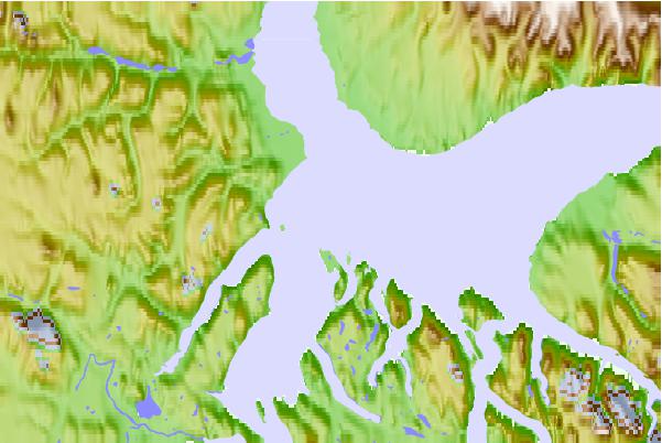
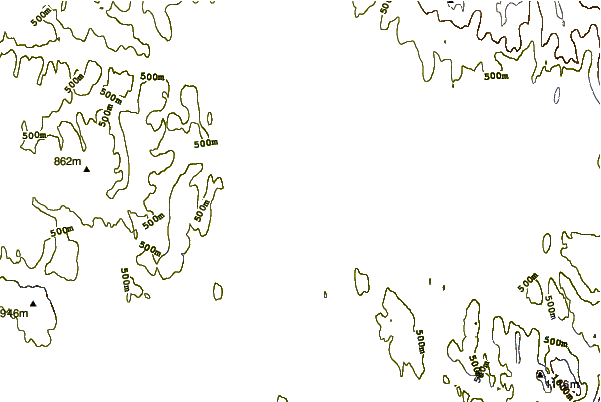
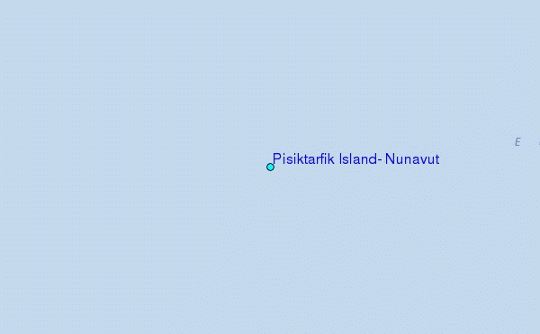
Use this relief map to navigate to tide stations, surf breaks and cities that are in the area of Pisiktarfik Island, Nunavut.
Other Nearby Locations' tide tables and tide charts to Pisiktarfik Island, Nunavut:
click location name for more details
 Surf breaks close to Pisiktarfik Island, Nunavut:
|
||
|---|---|---|
| Closest surf break | Garur | 1508 mi |
| Second closest surf break | Hafnir | 1516 mi |
| Third closest surf break | Eyvik | 1518 mi |
| Fourth closest surf break | Grotta | 1518 mi |
| Fifth closest surf break | Sandvik | 1523 mi |


 Nearest