
| Distance / Altitude | Location | Report Date / Time | Live Weather | Wind | Gusts | Temp. | Visibility | Cloud |
|---|---|---|---|---|---|---|---|---|
| 4 km ESE / 3 m | SHIP3334 (Marine) | 2026-05-26 21:00 local (2026/05/27 01:00 GMT) | fresh winds from the ENE (33 km/h at 60) | — | - | |||
| 4 km ESE / 15 m | SHIP3591 (Marine) | 2026-05-26 21:00 local (2026/05/27 01:00 GMT) | fresh winds from the ENE (33.480000000000004 km/h at 60) | — | - km | |||
| 14 km S / 3 m | SHIP5357 (Marine) | 2026-05-26 20:00 local (2026/05/27 00:00 GMT) | fresh winds from the NNE (33 km/h at 30) | — | - | |||
| 14 km S / 15 m | SHIP8006 (Marine) | 2026-05-26 20:00 local (2026/05/27 00:00 GMT) | fresh winds from the NNE (33.480000000000004 km/h at 30) | — | - km | |||
| 14 km S / 3 m | SHIP6458 (Marine) | 2026-05-26 20:00 local (2026/05/27 00:00 GMT) | fresh winds from the NNE (33 km/h at 30) | — | - | |||
| 14 km S / 3 m | SHIP2979 (Marine) | 2026-05-26 20:00 local (2026/05/27 00:00 GMT) | fresh winds from the NNE (33 km/h at 30) | — | - | |||
| 14 km S / 15 m | SHIP4353 (Marine) | 2026-05-26 20:00 local (2026/05/27 00:00 GMT) | fresh winds from the NNE (33.480000000000004 km/h at 30) | — | - km | |||
| 14 km S / 3 m | SHIP4499 (Marine) | 2026-05-26 20:00 local (2026/05/27 00:00 GMT) | fresh winds from the NNE (33 km/h at 30) | — | - | |||
| 15 km NE / 3 m | SHIP6986 (Marine) | 2026-05-26 21:00 local (2026/05/27 01:00 GMT) | moderate winds from the NE (28 km/h at 40) | — | - | |||
| 15 km NE / 15 m | SHIP6776 (Marine) | 2026-05-26 21:00 local (2026/05/27 01:00 GMT) | moderate winds from the NE (27.720000000000002 km/h at 40) | — | - km |
| Contours: | Roads & Rivers: | Select a
tide station / surf break / city |
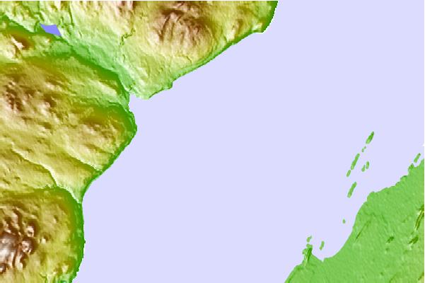
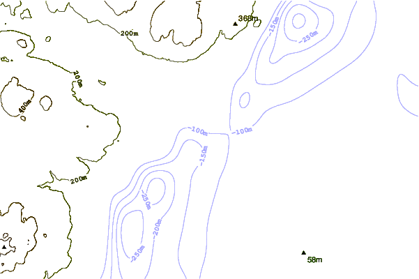
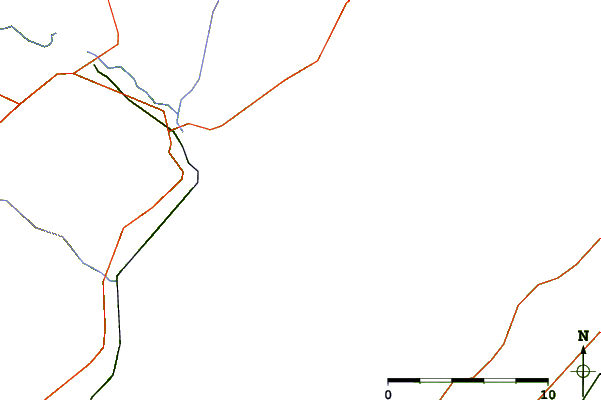
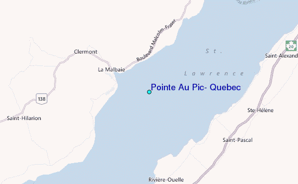
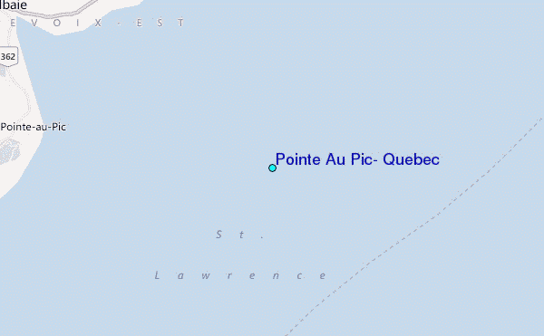
Use this relief map to navigate to tide stations, surf breaks and cities that are in the area of Pointe Au Pic, Quebec.
Other Nearby Locations' tide tables and tide charts to Pointe Au Pic, Quebec:
click location name for more details
 Surf breaks close to Pointe Au Pic, Quebec:
|
||
|---|---|---|
| Closest surf break | Trayhan's | 267 mi |
| Second closest surf break | Popham Read | 268 mi |
| Third closest surf break | Doc Browns | 280 mi |
| Fourth closest surf break | Two Lights | 280 mi |
| Fifth closest surf break | Higgins Beach | 281 mi |


 Nearest
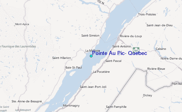