
| Distance / Altitude | Location | Report Date / Time | Live Weather | Wind | Gusts | Temp. | Visibility | Cloud |
|---|---|---|---|---|---|---|---|---|
| 25 km S / 15 m | Cap D'espoir Airport (Canada) | 2026-02-03 19:00 local (2026/02/04 00:00 GMT) | - | light winds from the SSW (9 km/h at 210) | — | - | - no observation - | |
| 27 km WNW / 216 m | Gaspe Airport (Quebec) | 2026-02-03 18:00 local (2026/02/03 23:00 GMT) | Dry and cloudy | light winds from the NE (7 km/h at 50) | -3°C | 24 | overcast | |
| 28 km WNW / 34 m | Gaspe A- Que (Canada) | 2026-02-03 19:00 local (2026/02/04 00:00 GMT) | no report | light winds from the E (9 km/h at 80) | -3°C | 44 km | - overcast - | |
| 73 km S / 5 m | Miscou Island (Aut)- NB (Canada) | 2026-02-03 19:00 local (2026/02/04 00:00 GMT) | - | calm (4 km/h at 190) | — | - | - no observation - | |
| 104 km S / 5 m | Bas Caraquet- NB (Canada) | 2026-02-03 19:00 local (2026/02/04 00:00 GMT) | No report | calm (0 km/h at 0) | -10°C | - | - no observation - | |
| 108 km SSW / 196 m | New Carlisle Airport (Quebec) | 2026-02-03 18:00 local (2026/02/03 23:00 GMT) | - | calm (2 km/h at 100) | -6°C | 0.0 | ||
| 109 km WNW / 29 m | Cap -Madeleine- Que (Canada) | 2026-02-03 19:00 local (2026/02/04 00:00 GMT) | no report | calm (4 km/h at 250) | -7°C | - | - no observation - | |
| 109 km WNW / 194 m | Cap Madeleine Airport (Quebec) | 2026-02-03 18:00 local (2026/02/03 23:00 GMT) | - | calm (4 km/h at 230) | -7°C | 0.0 | ||
| 110 km SSW / 46 m | NewCarlisle1- Que (Canada) | 2026-02-03 19:00 local (2026/02/04 00:00 GMT) | - | light winds from the WNW (7 km/h at 290) | — | - | - no observation - | |
| 133 km N / 194 m | Port Menier Airport (Quebec) | 2026-02-03 18:00 local (2026/02/03 23:00 GMT) | - | calm (4 km/h at 250) | -7°C | 0.0 |
| Contours: | Roads & Rivers: | Select a
tide station / surf break / city |
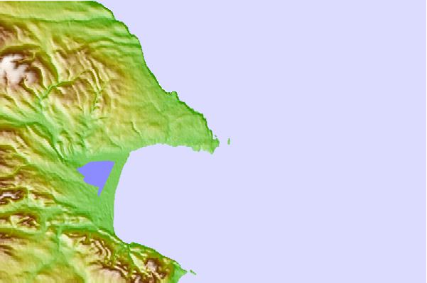
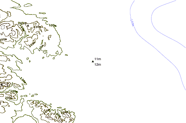

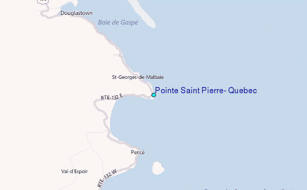
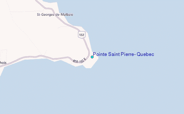
Use this relief map to navigate to tide stations, surf breaks and cities that are in the area of Pointe Saint Pierre, Quebec.
Other Nearby Locations' tide tables and tide charts to Pointe Saint Pierre, Quebec:
click location name for more details
 Surf breaks close to Pointe Saint Pierre, Quebec:
|
||
|---|---|---|
| Closest surf break | Ingonish Beach | 224 mi |
| Second closest surf break | Michaud Point | 268 mi |
| Third closest surf break | Kennington Cove | 271 mi |
| Fourth closest surf break | Martinique | 277 mi |
| Fifth closest surf break | Backyards | 278 mi |


 Nearest
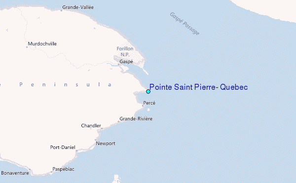