
| Distance / Altitude | Location | Report Date / Time | Live Weather | Wind | Gusts | Temp. | Visibility | Cloud |
|---|---|---|---|---|---|---|---|---|
| 3 km N / 9 m | Pointe-à-Pitre International Airport (Guadeloupe, Saint Martin, Saint Barthelemy and other French islands in the vicinity) | 2026-05-08 21:00 local (2026/05/09 01:00 GMT) | no report | calm (0 km/h at 150) | 24°C | - | - | |
| 4 km N / 215 m | Le Raizet Airport (Lesser Antilles) | 2026-05-08 20:30 local (2026/05/09 00:30 GMT) | - | calm (4 km/h at 1) | — | 0.0 | ||
| 21 km NE / 50 m | 876 (Guadeloupe) | 2026-05-08 21:00 local (2026/05/09 01:00 GMT) | - | strong winds from the ENE (44 km/h at 67) | 26°C | - | - - 0 | |
| 84 km SSE / 339 m | Melville Hall AR Airport (Dominican Republic) | 2026-05-08 19:00 local (2026/05/08 23:00 GMT) | Dry and partly cloudy | light winds from the ESE (7 km/h at 120) | 26°C | 10.0 | scattered | |
| 99 km NW / 6 m | Renfrew (Antigua and Barbuda) | 2026-05-08 21:11 local (2026/05/09 01:11 GMT) | dry | calm (5 km/h at 53) | 26°C | - | - - 0 | |
| 101 km NW / 10 m | VCBirdInt l Airport Antigua (Antigua and Barbuda) | 2026-05-08 21:00 local (2026/05/09 01:00 GMT) | - | light winds from the E (19 km/h at 80) | 26°C | 50 km | few | |
| 101 km NW / 211 m | Coolidge/Antigua Airport (Lesser Antilles) | 2026-05-08 20:00 local (2026/05/09 00:00 GMT) | - | light winds from the E.(Wind varies from 050 to 120 degs) (17 km/h at 80) | 26°C | 10.0 | few | |
| 154 km WNW / 168 m | Jessups Village (Åland) | 2026-05-08 18:42 local (2026/05/08 22:42 GMT) | dry | calm (0 km/h at 61) | 26°C | - | - - 0 | |
| 157 km SSE / 145 m | Rhum JM (Martinique) | 2026-05-08 21:00 local (2026/05/09 01:00 GMT) | - | light winds from the ESE (15 km/h at 117) | 25°C | - | - - 0 | |
| 170 km WNW / 485 m | Golden Rocks/Saint Kitts and Nevis Airport (Lesser Antilles) | 2026-05-08 20:00 local (2026/05/09 00:00 GMT) | Dry and partly cloudy | light winds from the ENE (17 km/h at 60) | 26°C | 10.0 | scattered |
| Contours: | Roads & Rivers: | Select a
tide station / surf break / city |
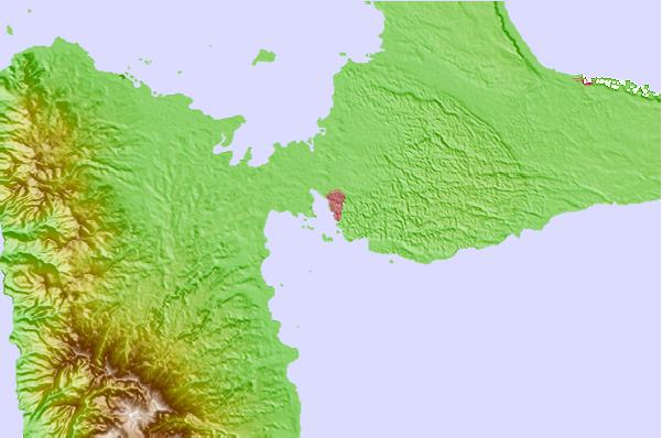
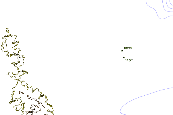
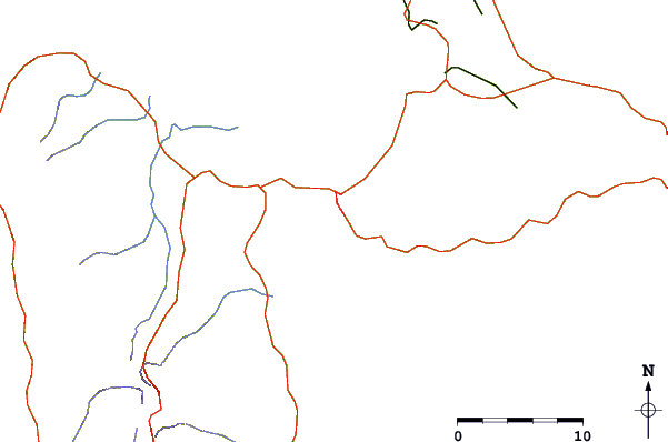
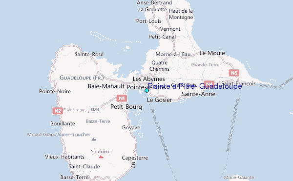
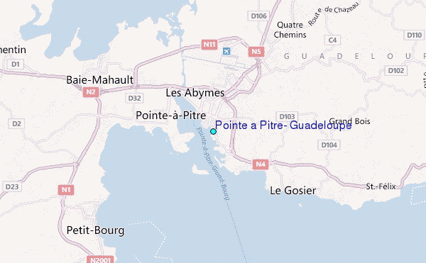
Use this relief map to navigate to tide stations, surf breaks and cities that are in the area of Pointe a Pitre, Guadeloupe.
Other Nearby Locations' tide tables and tide charts to Pointe a Pitre, Guadeloupe:
click location name for more details
 Surf breaks close to Pointe a Pitre, Guadeloupe:
|
||
|---|---|---|
| Closest surf break | Hotel Novotel | 2 mi |
| Second closest surf break | Petit Havre | 6 mi |
| Third closest surf break | Caravelle | 9 mi |
| Fourth closest surf break | La Caravelle | 11 mi |
| Fifth closest surf break | Antigues Cape | 14 mi |


 Nearest
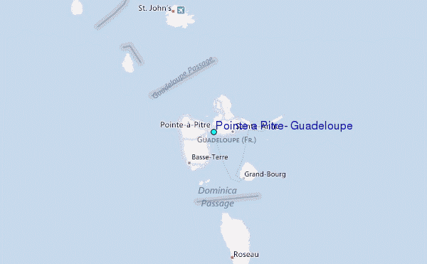