
| Distance / Altitude | Location | Report Date / Time | Live Weather | Wind | Gusts | Temp. | Visibility | Cloud |
|---|---|---|---|---|---|---|---|---|
| 2 km W / 62 m | PortAuxBasques (Canada) | 2026-04-10 21:30 local (2026/04/11 00:00 GMT) | - | calm (0 km/h at 290) | — | - | - no observation - | |
| 21 km WNW / 0 m | Wreckhouse- Nfld (Canada) | 2026-04-10 22:30 local (2026/04/11 01:00 GMT) | - | light winds from the SSW (7 km/h at 200) | — | - | - - - | |
| 66 km S / 3 m | SHIP4767 (Marine) | 2026-04-10 22:30 local (2026/04/11 01:00 GMT) | strong winds from the SSW (39 km/h at 200) | 1°C | - | |||
| 81 km ESE / 15 m | ASCATB302E47N (Marine) | 2026-04-10 20:54 local (2026/04/10 23:24 GMT) | fresh winds from the S (31 km/h at 191) | — | - km | |||
| 85 km SW / 27 m | ST Paul Island (Aut)- NS (Canada) | 2026-04-10 21:30 local (2026/04/11 00:00 GMT) | - | wind obs. (29 kph from 240 degs) was rejected (- km/h at -) | — | - | - | |
| 92 km S / 15 m | SHIP5678 (Marine) | 2026-04-10 21:30 local (2026/04/11 00:00 GMT) | strong winds from the SSW (40.68000000000001 km/h at 200) | — | - km | |||
| 92 km S / 3 m | SHIP6003 (Marine) | 2026-04-10 21:30 local (2026/04/11 00:00 GMT) | strong winds from the SSW (41 km/h at 200) | 1°C | - | |||
| 92 km S / 15 m | SHIP2358 (Marine) | 2026-04-10 21:30 local (2026/04/11 00:00 GMT) | strong winds from the SSW (40.68000000000001 km/h at 200) | — | - km |
| Contours: | Roads & Rivers: | Select a
tide station / surf break / city |
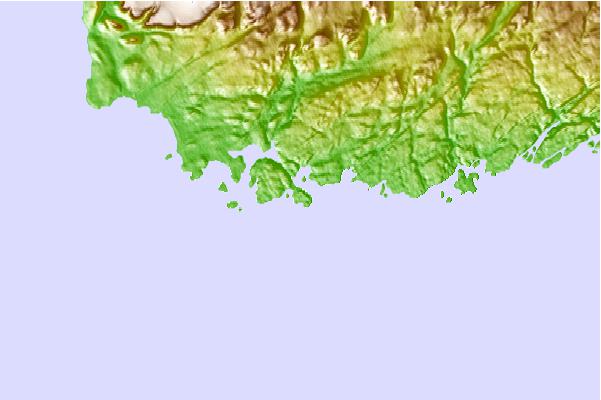
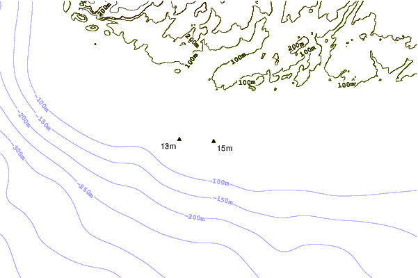
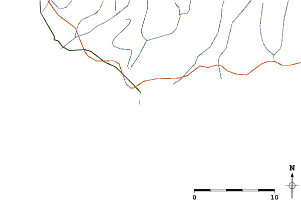
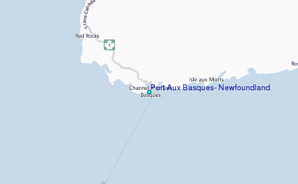
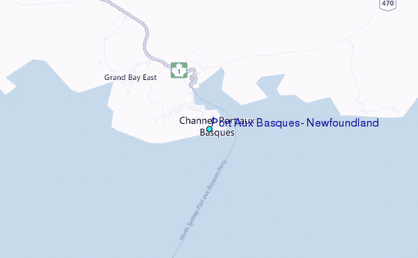
Use this relief map to navigate to tide stations, surf breaks and cities that are in the area of Port Aux Basques, Newfoundland.
Other Nearby Locations' tide tables and tide charts to Port Aux Basques, Newfoundland:
click location name for more details
 Surf breaks close to Port Aux Basques, Newfoundland:
|
||
|---|---|---|
| Closest surf break | Ingonish Beach | 87 mi |
| Second closest surf break | Kennington Cove | 125 mi |
| Third closest surf break | Michaud Point | 157 mi |
| Fourth closest surf break | Martinique | 277 mi |
| Fifth closest surf break | Lawrencetown Left Point | 285 mi |


 Nearest
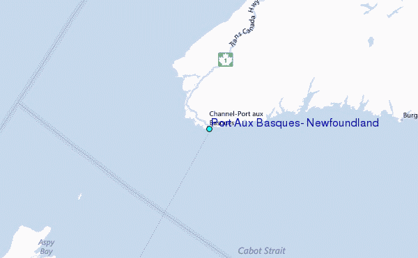