
| Distance / Altitude | Location | Report Date / Time | Live Weather | Wind | Gusts | Temp. | Visibility | Cloud |
|---|---|---|---|---|---|---|---|---|
| 129 km E / 2 m | Arctic Bay Airport (N.w. Territories) | 2026-07-26 07:00 local (2026/07/26 11:00 GMT) | - | calm (0 km/h at 0) | 8°C | 0.0 | ||
| 129 km E / 10 m | Arctic Bay Cs- NU (Canada) | 2026-07-26 08:00 local (2026/07/26 12:00 GMT) | no report | light winds from the NW (14 km/h at 320) | 2°C | - | - - - | |
| 221 km SSW / 10 m | Fort Ross- NU (Canada) | 2026-07-26 08:00 local (2026/07/26 12:00 GMT) | no report | wind obs. (18 kph from 320 degs) was rejected (- km/h at -) | 2°C | - | - - - | |
| 236 km NE / 3 m | SHIP2007 (Marine) | 2026-07-26 07:00 local (2026/07/26 11:00 GMT) | moderate winds from the WNW (22 km/h at 290) | 7°C | 50.0 | |||
| 248 km WNW / 216 m | Resolute Airport (N.w. Territories) | 2026-07-26 07:05 local (2026/07/26 11:05 GMT) | Dry and partly cloudy | light winds from the SE (13 km/h at 140) | 5°C | 48 | scattered | |
| 236 km NE / 15 m | SHIP4495 (Marine) | 2026-07-26 07:00 local (2026/07/26 11:00 GMT) | moderate winds from the WNW (22.32 km/h at 290) | 5°C | 43.5 km | |||
| 236 km NE / 3 m | SHIP6180 (Marine) | 2026-07-26 07:00 local (2026/07/26 11:00 GMT) | moderate winds from the WNW (22 km/h at 290) | 7°C | 50.0 | |||
| 236 km NE / 3 m | SHIP621 (Marine) | 2026-07-26 07:00 local (2026/07/26 11:00 GMT) | moderate winds from the WNW (22 km/h at 290) | 7°C | 50.0 | |||
| 236 km NE / 15 m | SHIP4423 (Marine) | 2026-07-26 07:00 local (2026/07/26 11:00 GMT) | moderate winds from the WNW (22.32 km/h at 290) | 5°C | 43.5 km | |||
| 236 km NE / 15 m | SHIP8148 (Marine) | 2026-07-26 07:00 local (2026/07/26 11:00 GMT) | moderate winds from the WNW (22.32 km/h at 290) | 5°C | 43.5 km |
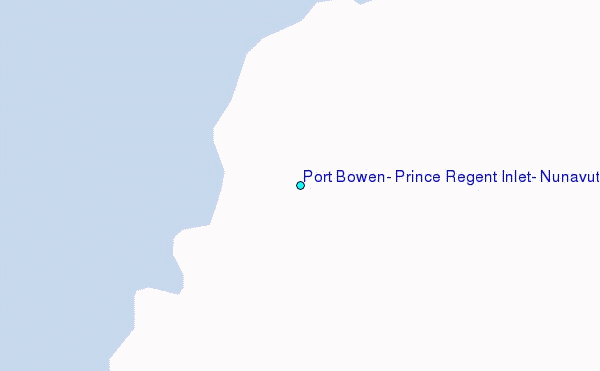
Choose Port Bowen, Prince Regent Inlet, Nunavut Location Map Zoom:
| Contours: | Roads & Rivers: | Select a
tide station / surf break / city |
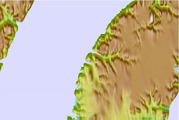
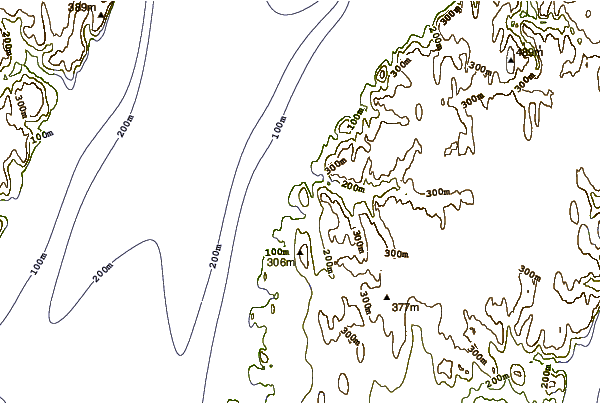
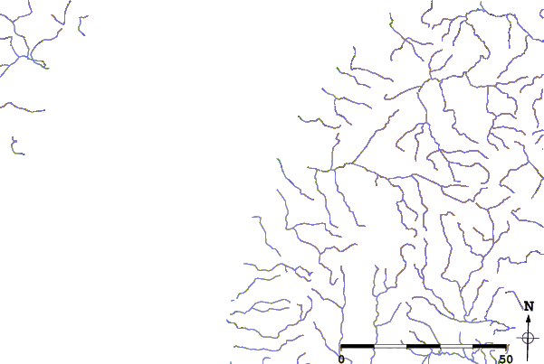
Use this relief map to navigate to tide stations, surf breaks and cities that are in the area of Port Bowen, Prince Regent Inlet, Nunavut.
Other Nearby Locations' tide tables and tide charts to Port Bowen, Prince Regent Inlet, Nunavut:
click location name for more details
 Surf breaks close to Port Bowen, Prince Regent Inlet, Nunavut:
|
||
|---|---|---|
| Closest surf break | Graveyards | 1624 mi |
| Second closest surf break | Ocean Cape | 1625 mi |
| Third closest surf break | Cannon Beach | 1626 mi |
| Fourth closest surf break | Eyvik | 1681 mi |
| Fifth closest surf break | Garur | 1682 mi |


 Nearest
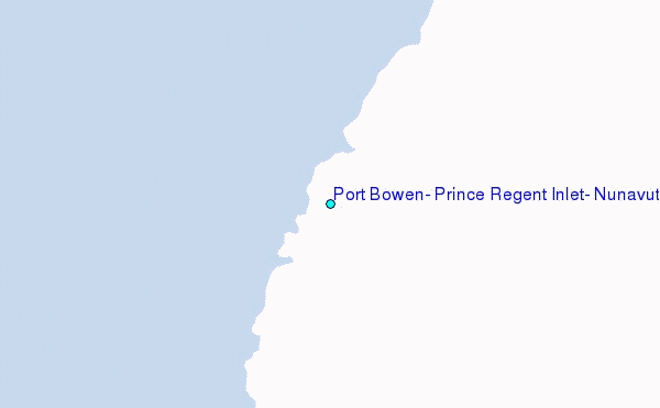