
| Distance / Altitude | Location | Report Date / Time | Live Weather | Wind | Gusts | Temp. | Visibility | Cloud |
|---|---|---|---|---|---|---|---|---|
| 200 km NNE / 217 m | Cape Dorset Airport (N.w. Territories) | 2025-12-25 15:00 local (2025/12/25 20:00 GMT) | - | light winds from the W (11 km/h at 260) | -21°C | 14 | ||
| 201 km NNE / 50 m | Cape Dorset Climate- NU (Canada) | 2025-12-25 16:00 local (2025/12/25 21:00 GMT) | - | moderate winds from the WSW (22 km/h at 250) | — | - | - - - | |
| 286 km S / 339 m | Puvirnituq Airport (Quebec) | 2025-12-25 15:42 local (2025/12/25 20:42 GMT) | Dry and partly cloudy | light winds from the WSW (15 km/h at 250) | -20°C | 14 | scattered broken broken | |
| 321 km WNW / 215 m | Coral Harbour Airport (N.w. Territories) | 2025-12-25 15:00 local (2025/12/25 20:00 GMT) | - | light winds from the NW (17 km/h at 320) | -30°C | 24 | few | |
| 321 km WNW / 22 m | Coral Harbour Airport (Canada) | 2025-12-25 16:00 local (2025/12/25 21:00 GMT) | - | - (- km/h at -) | — | - | - | |
| 457 km S / 1 m | InukjuakUa-Que (Canada) | 2025-12-25 16:00 local (2025/12/25 21:00 GMT) | - | moderate winds from the W (26 km/h at 280) | -15°C | 36 km | - mostly cloudy - | |
| 497 km ENE / 14 m | Iqaluit (Canada) | 2025-12-25 16:00 local (2025/12/25 21:00 GMT) | - | calm (4 km/h at 150) | — | - | - no observation - | |
| 499 km ENE / 217 m | Frobisher/Iqaluit Airport (N.w. Territories) | 2025-12-25 15:00 local (2025/12/25 20:00 GMT) | - | wind obs. (7 kph from 180 degs) was rejected (- km/h at -) | -16°C | 24 | few few broken | |
| 590 km SSE / 171 m | Riviere Aux Feuilles- Que (Canada) | 2025-12-25 16:00 local (2025/12/25 21:00 GMT) | - | wind obs. (40 kph from 260 degs) was rejected (- km/h at -) | — | - | - | |
| 663 km WNW / 18 m | Wager Bay (Nunavut) | 2025-12-25 15:00 local (2025/12/25 20:00 GMT) | - | fresh winds from the SE (30 km/h at 130) | -22°C | 0.0 |
| Contours: | Roads & Rivers: | Select a
tide station / surf break / city |
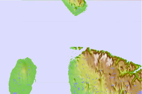
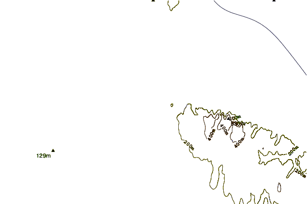
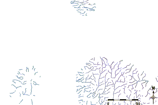
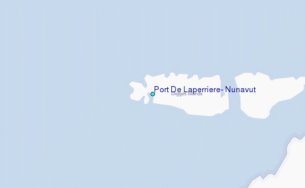
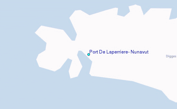
Use this relief map to navigate to tide stations, surf breaks and cities that are in the area of Port De Laperriere, Nunavut.
Other Nearby Locations' tide tables and tide charts to Port De Laperriere, Nunavut:
click location name for more details
 Surf breaks close to Port De Laperriere, Nunavut:
|
||
|---|---|---|
| Closest surf break | Marathon | 1010 mi |
| Second closest surf break | Alona Bay | 1096 mi |
| Third closest surf break | Keweenaw Peninsula | 1116 mi |
| Fourth closest surf break | Au Sable Point | 1143 mi |
| Fifth closest surf break | Grand Marias | 1143 mi |


 Nearest
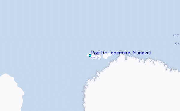