
| Distance / Altitude | Location | Report Date / Time | Live Weather | Wind | Gusts | Temp. | Visibility | Cloud |
|---|---|---|---|---|---|---|---|---|
| 129 km WSW / 70 m | Nadzab (Papua New Guinea) | 2024-07-27 10:00 local (2024/07/27 00:00 GMT) | rain | light winds from the N (6 km/h at 1) | 25°C | 30 | few overcast - | |
| 156 km WNW / 69 m | Mount Hagen Airport (Papua New Guinea) | 2024-07-27 10:00 local (2024/07/27 00:00 GMT) | Dry and partly cloudy | light winds from the N (6 km/h at 1) | 18°C | 10.0 | scattered scattered | |
| 210 km ESE / 15 m | ASCATB150E7S (Marine) | 2024-07-27 09:31 local (2024/07/26 23:31 GMT) | fresh winds from the SE (35 km/h at 144) | — | - km | |||
| 260 km SE / 15 m | ASCATB149E8S (Marine) | 2024-07-27 09:31 local (2024/07/26 23:31 GMT) | moderate winds from the SE (26 km/h at 124) | — | - km | |||
| 262 km SE / 15 m | ASCATB150E8S (Marine) | 2024-07-27 09:31 local (2024/07/26 23:31 GMT) | fresh winds from the SE (30 km/h at 138) | — | - km | |||
| 284 km SSE / 15 m | ASCATB149E9S (Marine) | 2024-07-27 09:31 local (2024/07/26 23:31 GMT) | fresh winds from the SE (32 km/h at 144) | — | - km | |||
| 285 km W / 1587 m | Goroka Highlands Airport (Papua-New Guinea) | 2024-07-27 10:00 local (2024/07/27 00:00 GMT) | visibility reduced by smoke | - (- km/h at -) | 22°C | 30 | - | |
| 305 km ESE / 15 m | ASCATB151E7S (Marine) | 2024-07-27 09:31 local (2024/07/26 23:31 GMT) | strong winds from the SSE (42 km/h at 154) | — | - km | |||
| 311 km S / 48 m | Port Moresby (Papua New Guinea) | 2024-07-27 10:00 local (2024/07/27 00:00 GMT) | haze | fresh winds from the SSE (30 km/h at 160) | 26°C | 20 | - - - | |
| 315 km S / 359 m | Port Moresby International Airport (Papua New Guinea) | 2024-07-27 10:00 local (2024/07/27 00:00 GMT) | Haze - | light winds from the SSE (19 km/h at 150) | 29°C | 10.0 | scattered |
| Contours: | Roads & Rivers: | Select a
tide station / surf break / city |
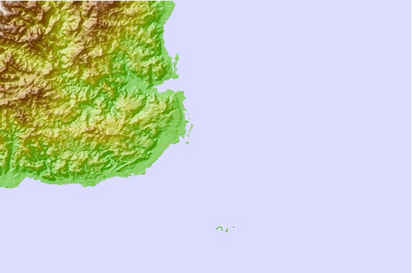
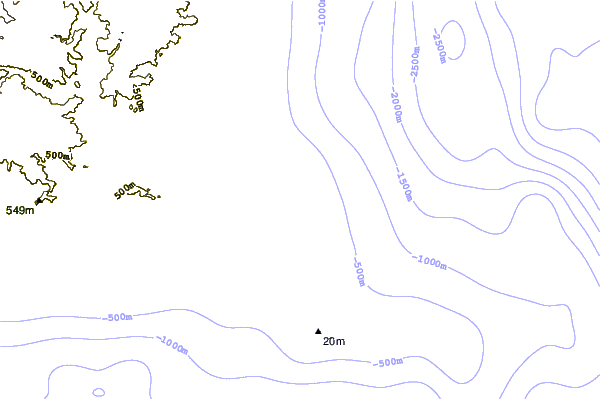
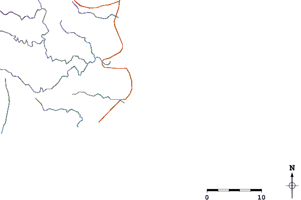
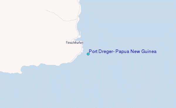
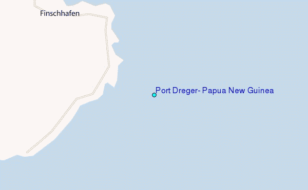
Use this relief map to navigate to tide stations, surf breaks and cities that are in the area of Port Dreger, Papua New Guinea.
Other Nearby Locations' tide tables and tide charts to Port Dreger, Papua New Guinea:
click location name for more details
 Surf breaks close to Port Dreger, Papua New Guinea:
|
||
|---|---|---|
| Closest surf break | Tupira Right | 227 mi |
| Second closest surf break | Edmago | 339 mi |
| Third closest surf break | Nago | 343 mi |
| Fourth closest surf break | Long Long | 344 mi |
| Fifth closest surf break | Nusa | 346 mi |

 Nearest
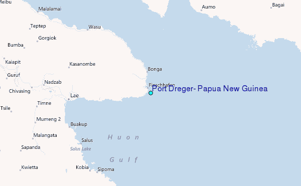