
| Distance / Altitude | Location | Report Date / Time | Live Weather | Wind | Gusts | Temp. | Visibility | Cloud |
|---|---|---|---|---|---|---|---|---|
| 98 km WSW / 15 m | SHIP1586 (Marine) | 2026-07-10 05:00 local (2026/07/09 19:00 GMT) | - (- km/h at -) | — | - km | |||
| 129 km WSW / 70 m | Nadzab W.o. (Papua New Guinea) | 2026-07-10 07:00 local (2026/07/09 21:00 GMT) | rain | - (- km/h at -) | 25°C | 30 | - | |
| 284 km W / 1587 m | Goroka Highlands Airport (Papua-New Guinea) | 2026-07-10 07:00 local (2026/07/09 21:00 GMT) | - | - (- km/h at -) | — | 30 | - | |
| 313 km S / 48 m | Port Moresby W.o. (Papua New Guinea) | 2026-07-10 07:00 local (2026/07/09 21:00 GMT) | haze | fresh winds from the SSE (30 km/h at 160) | 26°C | 20 | - | |
| 489 km SSE / 23 m | Gurney (Papua New Guinea) | 2026-07-10 06:00 local (2026/07/09 20:00 GMT) | distant precipitation but not falling at station | - (- km/h at -) | 26°C | 30 | - | |
| 109 km WSW / 15 m | SHIP2546 (Marine) | 2026-07-10 06:00 local (2026/07/09 20:00 GMT) | - (- km/h at -) | — | - km | |||
| 109 km WSW / 15 m | SHIP7627 (Marine) | 2026-07-10 06:00 local (2026/07/09 20:00 GMT) | - (- km/h at -) | — | - km | |||
| 109 km WSW / 3 m | SHIP4330 (Marine) | 2026-07-10 06:00 local (2026/07/09 20:00 GMT) | - (- km/h at -) | 24°C | - | |||
| 129 km WSW / 70 m | Nadzab W.o. (Papua New Guinea) | 2026-07-10 07:00 local (2026/07/09 21:00 GMT) | rain | - (- km/h at -) | 25°C | 30 | - | |
| 285 km W / 1587 m | Goroka Highlands Airport (Papua-New Guinea) | 2026-07-10 07:00 local (2026/07/09 21:00 GMT) | - | - (- km/h at -) | — | 30 | - |
| Contours: | Roads & Rivers: | Select a
tide station / surf break / city |
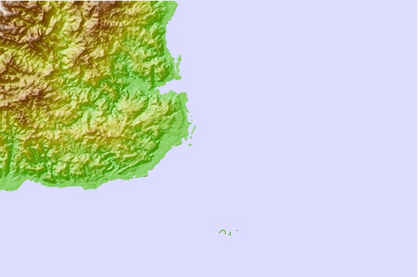
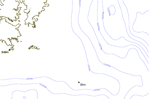
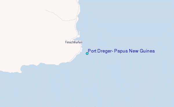
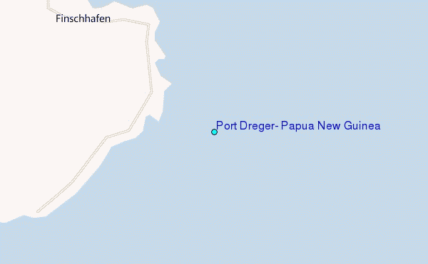
Use this relief map to navigate to tide stations, surf breaks and cities that are in the area of Port Dreger, Papua New Guinea.
Other Nearby Locations' tide tables and tide charts to Port Dreger, Papua New Guinea:
click location name for more details
 Surf breaks close to Port Dreger, Papua New Guinea:
|
||
|---|---|---|
| Closest surf break | Tupira Right | 227 mi |
| Second closest surf break | Edmago | 339 mi |
| Third closest surf break | Nago | 343 mi |
| Fourth closest surf break | Long Long | 344 mi |
| Fifth closest surf break | Nusa | 346 mi |


 Nearest
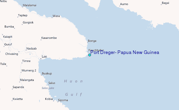