
| Distance / Altitude | Location | Report Date / Time | Live Weather | Wind | Gusts | Temp. | Visibility | Cloud |
|---|---|---|---|---|---|---|---|---|
| 9 km E / 16 m | Ronaldsway (United Kingdom) | 2025-12-24 11:00 local (2025/12/24 11:00 GMT) | - | wind obs. (15 kph from 250 degs) was rejected (- km/h at -) | — | 46 km | - few - | |
| 10 km ESE / 218 m | Isle Of Man/Ronaldsway Airport (United Kingdom) | 2025-12-24 10:20 local (2025/12/24 10:20 GMT) | - | strong winds from the E (39 km/h at 100) | 7°C | 10.0 | few | |
| 57 km E / 3 m | SHIP5948 (Marine) | 2025-12-24 09:00 local (2025/12/24 09:00 GMT) | - (- km/h at -) | 7°C | - | |||
| 57 km E / 15 m | SHIP2229 (Marine) | 2025-12-24 09:00 local (2025/12/24 09:00 GMT) | - (- km/h at -) | — | - km | |||
| 57 km E / 15 m | SHIP6975 (Marine) | 2025-12-24 09:00 local (2025/12/24 09:00 GMT) | - (- km/h at -) | — | - km | |||
| 57 km E / 15 m | SHIP3798 (Marine) | 2025-12-24 09:00 local (2025/12/24 09:00 GMT) | - (- km/h at -) | — | - km | |||
| 57 km E / 3 m | SHIP1935 (Marine) | 2025-12-24 09:00 local (2025/12/24 09:00 GMT) | - (- km/h at -) | 7°C | - | |||
| 57 km E / 15 m | SHIP5540 (Marine) | 2025-12-24 09:00 local (2025/12/24 09:00 GMT) | - (- km/h at -) | — | - km | |||
| 57 km E / 3 m | SHIP1767 (Marine) | 2025-12-24 09:00 local (2025/12/24 09:00 GMT) | - (- km/h at -) | 7°C | - | |||
| 57 km E / 3 m | SHIP507 (Marine) | 2025-12-24 09:00 local (2025/12/24 09:00 GMT) | - (- km/h at -) | 7°C | - |
| Contours: | Roads & Rivers: | Select a
tide station / surf break / city |
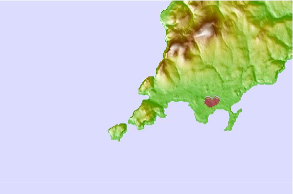
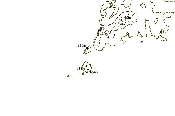
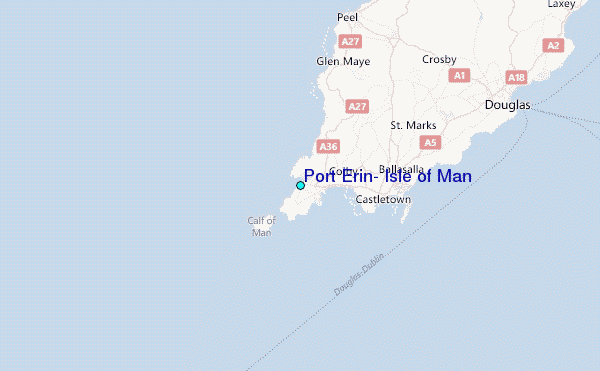
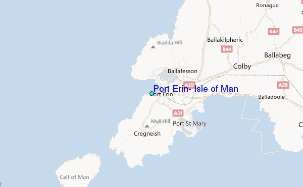
Use this relief map to navigate to tide stations, surf breaks and cities that are in the area of Port Erin, Isle of Man.
Other Nearby Locations' tide tables and tide charts to Port Erin, Isle of Man:
click location name for more details
 Surf breaks close to Port Erin, Isle of Man:
|
||
|---|---|---|
| Closest surf break | Gansey | 1 mi |
| Second closest surf break | Port St Mary Point | 2 mi |
| Third closest surf break | Castletown | 5 mi |
| Fourth closest surf break | Peel | 10 mi |
| Fifth closest surf break | Church Bay | 50 mi |


 Nearest
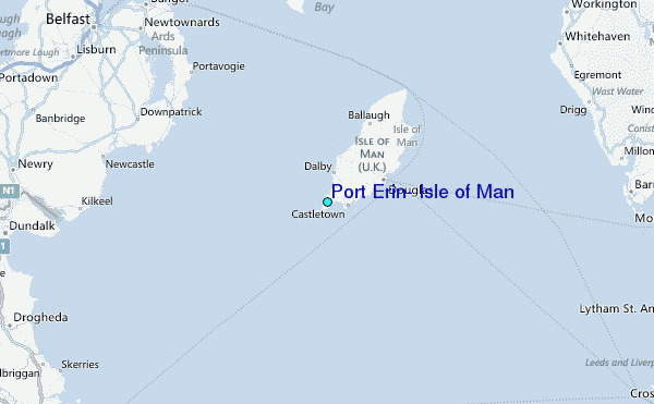