
| Distance / Altitude | Location | Report Date / Time | Live Weather | Wind | Gusts | Temp. | Visibility | Cloud |
|---|---|---|---|---|---|---|---|---|
| 2 km SSW / 3 m | BUOY-VCAT2 (Marine) | 2026-05-29 10:48 local (2026/05/29 15:48 GMT) | light winds from the NE (9 km/h at 40) | — | - | |||
| 9 km WSW / 220 m | Port Lavaca Airport (Texas) | 2026-05-29 10:35 local (2026/05/29 15:35 GMT) | Dry and partly cloudy | calm.(Wind varies from 019 to 028 degs) (0 km/h at 0) | 28°C | 16 | broken | |
| 14 km SW / 9 m | Port Lavaca (Texas) | 2026-05-29 10:27 local (2026/05/29 15:27 GMT) | dry | calm (2 km/h at 252) | 28°C | - | - - 0 | |
| 19 km ENE / 8 m | Palacios (Texas) | 2026-05-29 10:04 local (2026/05/29 15:04 GMT) | dry | calm (0 km/h at 90) | 33°C | - | - - 0 | |
| 19 km NE / 8 m | La Ward (Texas) | 2026-05-29 10:16 local (2026/05/29 15:16 GMT) | dry | calm (0 km/h at 275) | — | - | - - 0 | |
| 29 km SE / 3 m | BUOY-PCNT2 (Marine) | 2026-05-29 10:48 local (2026/05/29 15:48 GMT) | light winds from the E (8 km/h at 90) | — | - | |||
| 33 km NNE / 15 m | Red Bluff wx (United States) | 2026-05-29 11:11 local (2026/05/29 16:11 GMT) | dry | calm (5 km/h at 210) | 27°C | - | - - 0 | |
| 35 km ENE / 171 m | Palacios Airport (Texas) | 2026-05-29 09:53 local (2026/05/29 14:53 GMT) | Dry and partly cloudy | light winds from the S (7 km/h at 190) | 27°C | 16 | scattered | |
| 36 km SE / 3 m | BUOY-MBET2 (Marine) | 2026-05-29 10:48 local (2026/05/29 15:48 GMT) | light winds from the SSE (8 km/h at 160) | — | - | |||
| 37 km N / 24 m | Edna (Texas) | 2026-05-29 10:48 local (2026/05/29 15:48 GMT) | dry | wind obs. (6 kph from 139 degs) was rejected (- km/h at -) | 27°C | - | - - 0 |
| Contours: | Roads & Rivers: | Select a
tide station / surf break / city |
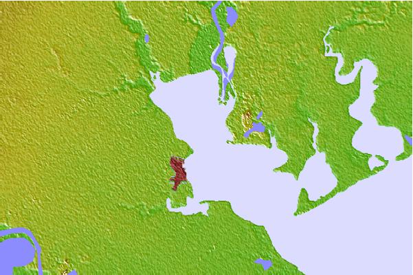
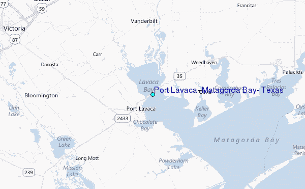
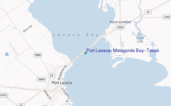
Use this relief map to navigate to tide stations, surf breaks and cities that are in the area of Port Lavaca, Matagorda Bay, Texas.
Other Nearby Locations' tide tables and tide charts to Port Lavaca, Matagorda Bay, Texas:
click location name for more details
 Surf breaks close to Port Lavaca, Matagorda Bay, Texas:
|
||
|---|---|---|
| Closest surf break | Port O'Conner | 22 mi |
| Second closest surf break | Matagorda | 37 mi |
| Third closest surf break | Coastal Bend Area | 47 mi |
| Fourth closest surf break | San Jose Island | 55 mi |
| Fifth closest surf break | St Joe s Island | 62 mi |


 Nearest
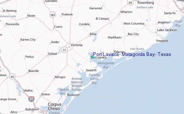