
| Distance / Altitude | Location | Report Date / Time | Live Weather | Wind | Gusts | Temp. | Visibility | Cloud |
|---|---|---|---|---|---|---|---|---|
| 3 km SSE / 3 m | BUOY-ANTA2 (Marine) | 2026-04-04 17:48 local (2026/04/05 01:48 GMT) | light winds from the N (8 km/h at 10) | — | - | |||
| 3 km SSE / 3 m | BUOY-APMA2 (Marine) | 2026-04-04 18:02 local (2026/04/05 02:02 GMT) | light winds from the NNE (11 km/h at 20) | 5°C | - | |||
| 5 km SSE / 28 m | Anchorage (Alaska) | 2026-04-04 17:27 local (2026/04/05 01:27 GMT) | dry | calm (5 km/h at 336) | 5°C | - | - - 0 | |
| 7 km SSE / 210 m | Anchorage/Merrill Field Airport (Alaska) | 2026-04-04 16:53 local (2026/04/05 00:53 GMT) | Clear | light winds from the N (11 km/h at 360) | 4°C | 16 | ||
| 7 km ESE / 217 m | Elmendorf Air Force Base Airport (Alaska) | 2026-04-04 16:55 local (2026/04/05 00:55 GMT) | Dry and partly cloudy | light winds from the N (15 km/h at 360) | 5°C | 16 | few broken | |
| 8 km S / 19 m | Anchorage (Alaska) | 2026-04-04 17:40 local (2026/04/05 01:40 GMT) | dry | calm (5 km/h at 27) | 5°C | - | - - 0 | |
| 10 km S / 214 m | Anchorage/Lake Hood Seaplane Base Airport (Alaska) | 2026-04-04 16:53 local (2026/04/05 00:53 GMT) | Clear | light winds from the NE (13 km/h at 50) | 3°C | 16 | ||
| 10 km SSE / 35 m | Anchorage Midtown (Alaska) | 2026-04-04 18:10 local (2026/04/05 02:10 GMT) | - | wind obs. (6 kph from 45 degs) was rejected (- km/h at -) | 6°C | - | - - 0 | |
| 11 km ESE / 94 m | Homesite Park wx (United States) | 2026-04-04 17:42 local (2026/04/05 01:42 GMT) | dry | calm (3 km/h at 25) | 5°C | - | - - 0 | |
| 11 km SSE / 43 m | Anchorage (Alaska) | 2026-04-04 17:23 local (2026/04/05 01:23 GMT) | dry | calm (0 km/h at 328) | 4°C | - | - - 0 |
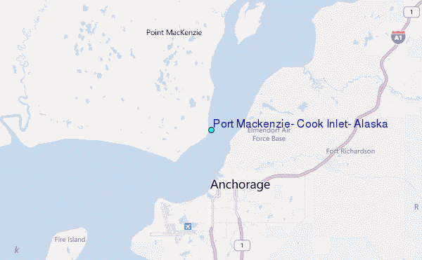
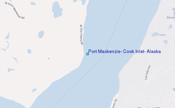
Choose Port Mackenzie, Cook Inlet, Alaska Location Map Zoom:
| Contours: | Roads & Rivers: | Select a
tide station / surf break / city |
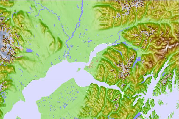
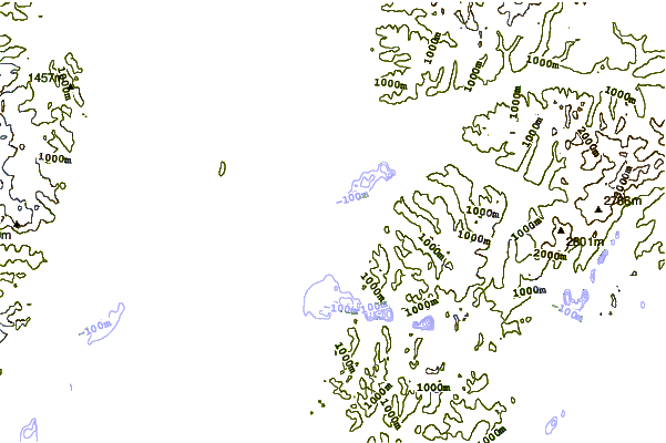
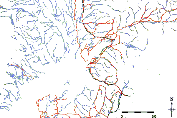
Use this relief map to navigate to tide stations, surf breaks and cities that are in the area of Port Mackenzie, Cook Inlet, Alaska.
Other Nearby Locations' tide tables and tide charts to Port Mackenzie, Cook Inlet, Alaska:
click location name for more details
 Surf breaks close to Port Mackenzie, Cook Inlet, Alaska:
|
||
|---|---|---|
| Closest surf break | Bird Point (Tidal Bore) | 62 mi |
| Second closest surf break | Termination Point | 252 mi |
| Third closest surf break | Mill Bay | 253 mi |
| Fourth closest surf break | Monashka Bay | 254 mi |
| Fifth closest surf break | Fossil Beach Kodiak | 279 mi |


 Nearest
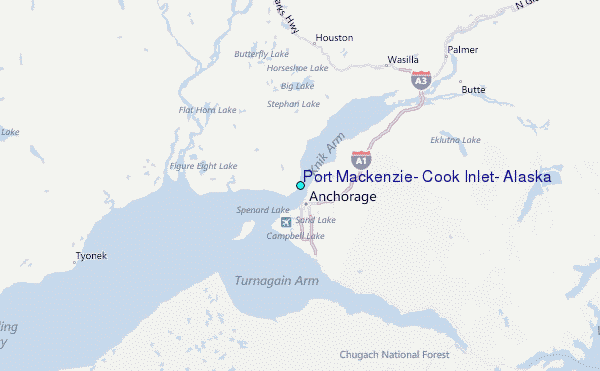