
| Distance / Altitude | Location | Report Date / Time | Live Weather | Wind | Gusts | Temp. | Visibility | Cloud |
|---|---|---|---|---|---|---|---|---|
| 47 km S / 12 m | Nain- Nfld (Canada) | 2025-12-23 20:00 local (2025/12/24 00:00 GMT) | - | - (- km/h at -) | — | - | - | |
| 49 km S / 472 m | Nain Airport (Newfoundland) | 2025-12-23 19:00 local (2025/12/23 23:00 GMT) | - | moderate winds from the WSW (22 km/h at 240) | — | 24 | ||
| 183 km SSE / 212 m | Hopedale Airport (Newfoundland) | 2025-12-23 19:00 local (2025/12/23 23:00 GMT) | - | strong winds from the S (46 km/h at 180) | -18°C | 0.0 | ||
| 263 km N / 15 m | SHIP3358 (Marine) | 2025-12-23 20:00 local (2025/12/24 00:00 GMT) | fresh winds from the WNW (35.28 km/h at 290) | — | - km | |||
| 263 km N / 3 m | SHIP2192 (Marine) | 2025-12-23 20:00 local (2025/12/24 00:00 GMT) | fresh winds from the WNW (35 km/h at 290) | -11°C | - | |||
| 263 km N / 3 m | SHIP6682 (Marine) | 2025-12-23 20:00 local (2025/12/24 00:00 GMT) | fresh winds from the WNW (35 km/h at 290) | -11°C | - | |||
| 285 km N / 15 m | SHIP8263 (Marine) | 2025-12-23 19:00 local (2025/12/23 23:00 GMT) | fresh winds from the W (38.88 km/h at 280) | — | - km | |||
| 285 km N / 3 m | SHIP2503 (Marine) | 2025-12-23 19:00 local (2025/12/23 23:00 GMT) | strong winds from the W (39 km/h at 280) | -11°C | - | |||
| 285 km N / 15 m | SHIP4383 (Marine) | 2025-12-23 19:00 local (2025/12/23 23:00 GMT) | fresh winds from the W (38.88 km/h at 280) | — | - km | |||
| 285 km N / 3 m | SHIP6316 (Marine) | 2025-12-23 19:00 local (2025/12/23 23:00 GMT) | strong winds from the W (39 km/h at 280) | -11°C | - |
| Contours: | Roads & Rivers: | Select a
tide station / surf break / city |
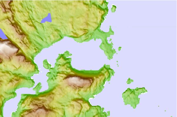
Use this relief map to navigate to tide stations, surf breaks and cities that are in the area of Port Manvers, Labrador.
Other Nearby Locations' tide tables and tide charts to Port Manvers, Labrador:
click location name for more details
 Surf breaks close to Port Manvers, Labrador:
|
||
|---|---|---|
| Closest surf break | Ingonish Beach | 714 mi |
| Second closest surf break | Kennington Cove | 768 mi |
| Third closest surf break | Michaud Point | 787 mi |
| Fourth closest surf break | Martinique | 851 mi |
| Fifth closest surf break | Lawrencetown Reef | 855 mi |


 Nearest