
| Distance / Altitude | Location | Report Date / Time | Live Weather | Wind | Gusts | Temp. | Visibility | Cloud |
|---|---|---|---|---|---|---|---|---|
| 178 km SW / 145 m | GillamA-Man (Canada) | 2026-03-31 22:00 local (2026/04/01 03:00 GMT) | - | light winds from the SSW (11 km/h at 200) | — | 44 km | - scattered - | |
| 178 km SW / 216 m | Gillam Airport (Manitoba) | 2026-03-31 21:00 local (2026/04/01 02:00 GMT) | Dry and cloudy | light winds from the SSW (11 km/h at 200) | -8°C | 24 | overcast broken broken | |
| 228 km NW / 29 m | Churchill-Man (Canada) | 2026-03-31 22:00 local (2026/04/01 03:00 GMT) | Continuous light snow | moderate winds from the E (20 km/h at 90) | -17°C | 26 km | - overcast - | |
| 229 km NW / 216 m | Churchill Airport (Manitoba) | 2026-03-31 21:24 local (2026/04/01 02:24 GMT) | Light snow | light winds from the E (19 km/h at 100) | -16°C | 13 | broken broken | |
| 291 km ESE / 1 m | Fort Severn Airport (Canada) | 2026-03-31 22:00 local (2026/04/01 03:00 GMT) | Dry and partly cloudy | light winds from the SSE (7 km/h at 150) | -21°C | 14 | broken scattered - | |
| 295 km SW / 183 m | Kelsey Dam Generating Station Airport (Manitoba) | 2026-03-31 21:00 local (2026/04/01 02:00 GMT) | - | light winds from the S (7 km/h at 180) | -7°C | 0.0 | ||
| 295 km SW / 183 m | KelseyDamCs- Man (Canada) | 2026-03-31 22:00 local (2026/04/01 03:00 GMT) | - | calm (4 km/h at 70) | — | - | - no observation - | |
| 380 km SSE / 222 m | Big Trout Lake A- Ont (Canada) | 2026-03-31 22:00 local (2026/04/01 03:00 GMT) | - | wind obs. (14 kph from 260 degs) was rejected (- km/h at -) | — | - | - - - | |
| 380 km SSE / 696 m | Big Trout Lake Airport (Ontario) | 2026-03-31 21:00 local (2026/04/01 02:00 GMT) | Clear | light winds from the ESE (6 km/h at 110) | -15°C | 14 | ||
| 383 km SW / 224 m | ThompsonA-Man (Canada) | 2026-03-31 22:00 local (2026/04/01 03:00 GMT) | - | light winds from the S (7 km/h at 170) | — | 44 km | - clear - |
| Contours: | Roads & Rivers: | Select a
tide station / surf break / city |
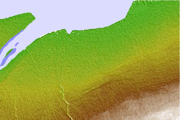
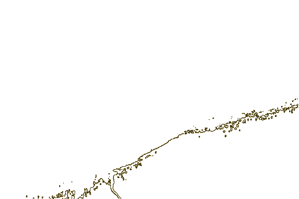
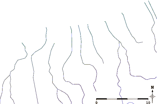
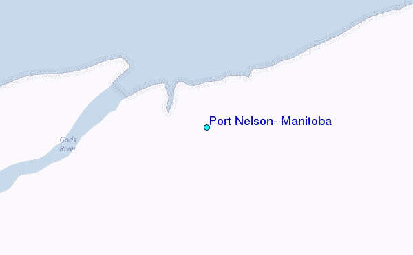
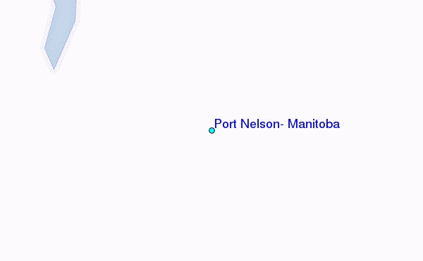
Use this relief map to navigate to tide stations, surf breaks and cities that are in the area of Port Nelson, Manitoba.
Other Nearby Locations' tide tables and tide charts to Port Nelson, Manitoba:
click location name for more details
 Surf breaks close to Port Nelson, Manitoba:
|
||
|---|---|---|
| Closest surf break | Marathon | 615 mi |
| Second closest surf break | Keweenaw Peninsula | 679 mi |
| Third closest surf break | Apostle Islands | 690 mi |
| Fourth closest surf break | Stoney Point | 693 mi |
| Fifth closest surf break | Lester River | 707 mi |


 Nearest
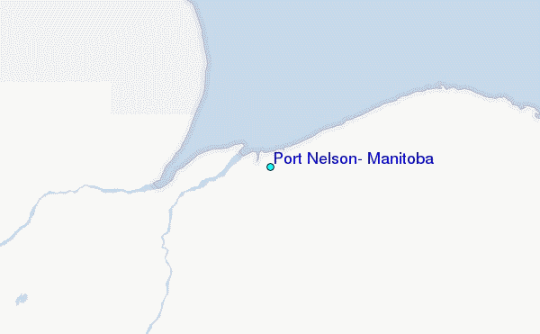