
| Distance / Altitude | Location | Report Date / Time | Live Weather | Wind | Gusts | Temp. | Visibility | Cloud |
|---|---|---|---|---|---|---|---|---|
| 43 km NNE / 216 m | Ferolle Point Airport (Newfoundland) | 2026-07-26 11:30 local (2026/07/26 14:00 GMT) | - | light winds from the W (15 km/h at 260) | 16°C | 0.0 | ||
| 84 km E / 216 m | Englee Airport (Newfoundland) | 2026-07-26 11:30 local (2026/07/26 14:00 GMT) | - | wind obs. (13 kph from 100 degs) was rejected (- km/h at -) | 22°C | 0.0 | ||
| 89 km N / 37 m | Lourdes DE Blanc Sablon A- Que (Canada) | 2026-07-26 11:30 local (2026/07/26 14:00 GMT) | no report | - (- km/h at -) | 10°C | - | - - - | |
| 89 km N / 216 m | Blanc Sablon Airport (Quebec) | 2026-07-26 11:30 local (2026/07/26 14:00 GMT) | Dry and partly cloudy | light winds from the SW (9 km/h at 230) | 14°C | 24 | broken | |
| 119 km NE / 196 m | Saint Anthony Airport (Newfoundland) | 2026-07-26 11:30 local (2026/07/26 14:00 GMT) | Clear | light winds from the SW (19 km/h at 230) | 23°C | 14 | ||
| 119 km NE / 33 m | St. Anthony- Nfld (Canada) | 2026-07-26 11:30 local (2026/07/26 14:00 GMT) | no report | strong winds from the SW (40 km/h at 230) | 19°C | - | - - - | |
| 127 km S / 216 m | Rocky Harbour Airport (Newfoundland) | 2026-07-26 11:30 local (2026/07/26 14:00 GMT) | - | light winds from the W (7 km/h at 260) | 21°C | 0.0 | ||
| 127 km S / 216 m | Rocky Harbour Airport (Newfoundland) | 2026-07-26 10:30 local (2026/07/26 13:00 GMT) | - | calm (4 km/h at 250) | 22°C | 0.0 | ||
| 127 km S / 68 m | Rocky Harbour- Nfld (Canada) | 2026-07-26 11:30 local (2026/07/26 14:00 GMT) | no report | wind obs. (7 kph from 250 degs) was rejected (- km/h at -) | 20°C | - | - | |
| 160 km S / 22 m | Deer Lake Airport (Canada) | 2026-07-26 11:30 local (2026/07/26 14:00 GMT) | no report | - (- km/h at -) | 23°C | - | - - - |
| Contours: | Roads & Rivers: | Select a
tide station / surf break / city |
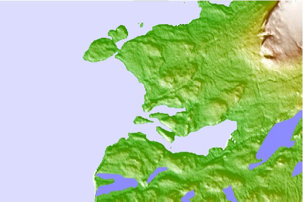
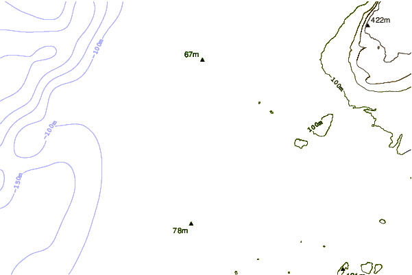
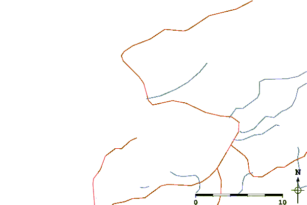
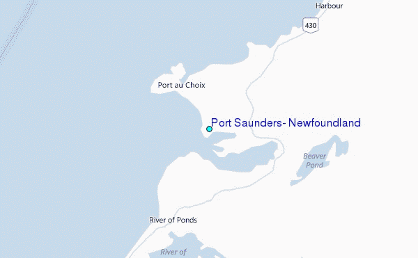
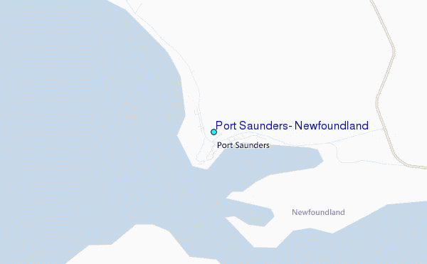
Use this relief map to navigate to tide stations, surf breaks and cities that are in the area of Port Saunders, Newfoundland.
Other Nearby Locations' tide tables and tide charts to Port Saunders, Newfoundland:
click location name for more details
 Surf breaks close to Port Saunders, Newfoundland:
|
||
|---|---|---|
| Closest surf break | Ingonish Beach | 311 mi |
| Second closest surf break | Kennington Cove | 354 mi |
| Third closest surf break | Michaud Point | 384 mi |
| Fourth closest surf break | Martinique | 494 mi |
| Fifth closest surf break | Lawrencetown Left Point | 501 mi |


 Nearest