
| Distance / Altitude | Location | Report Date / Time | Live Weather | Wind | Gusts | Temp. | Visibility | Cloud |
|---|---|---|---|---|---|---|---|---|
| 5 km W / 15 m | 1264 (Canada) | 2026-05-25 00:00 local (2026/05/25 04:00 GMT) | - | light winds from the ESE (9 km/h at 103) | 12°C | - | - - 0 | |
| 6 km SSW / 8 m | Nicolet- Que (Canada) | 2026-05-25 00:00 local (2026/05/25 04:00 GMT) | no report | light winds from the ESE (7 km/h at 110) | 12°C | - | - no observation - | |
| 6 km S / 187 m | Nicolet Airport (Quebec) | 2026-05-24 23:00 local (2026/05/25 03:00 GMT) | - | light winds from the ESE (7 km/h at 110) | 12°C | 0.0 | - - - | |
| 11 km NW / 61 m | Trois Rivieres Airport (Canada) | 2026-05-24 23:44 local (2026/05/25 03:44 GMT) | Light rain | light winds from the ESE (7 km/h at 120) | 11°C | 14 | overcast | |
| 12 km NE / 480 m | Trois Rivieres Airport (Quebec) | 2026-05-25 00:00 local (2026/05/25 04:00 GMT) | - | light winds from the SE (11 km/h at 130) | — | 0.0 | - - - | |
| 25 km SW / 205 m | Lac St Pierre Airport (Quebec) | 2026-05-24 23:00 local (2026/05/25 03:00 GMT) | - | moderate winds from the SE (20 km/h at 130) | 13°C | 0.0 | ||
| 34 km NW / 110 m | Shawinigan-Que (Canada) | 2026-05-24 23:00 local (2026/05/25 03:00 GMT) | - | calm (4 km/h at 280) | — | - | - no observation - | |
| 35 km SW / 3 m | SHIP5719 (Marine) | 2026-05-24 22:00 local (2026/05/25 02:00 GMT) | light winds from the SSE (11 km/h at 150) | — | - | |||
| 35 km SW / 15 m | SHIP3407 (Marine) | 2026-05-24 22:00 local (2026/05/25 02:00 GMT) | light winds from the SSE (11.16 km/h at 150) | — | - km | |||
| 35 km N / 214 m | Shawinigan Airport (Quebec) | 2026-05-24 23:00 local (2026/05/25 03:00 GMT) | - | light winds from the ESE (6 km/h at 120) | 11°C | 0.0 |
| Contours: | Roads & Rivers: | Select a
tide station / surf break / city |
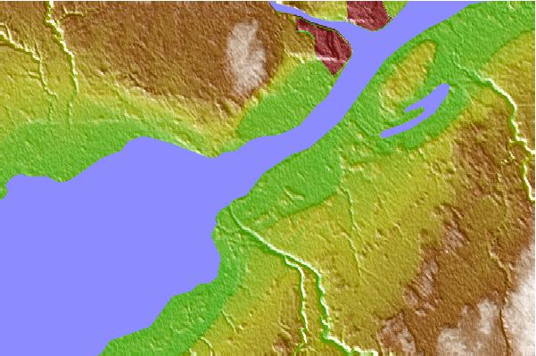
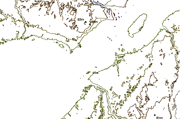
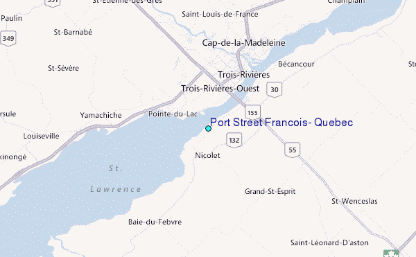
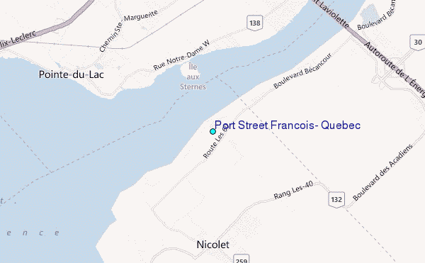
Use this relief map to navigate to tide stations, surf breaks and cities that are in the area of Port St Francois, Quebec.
Other Nearby Locations' tide tables and tide charts to Port St Francois, Quebec:
click location name for more details
 Surf breaks close to Port St Francois, Quebec:
|
||
|---|---|---|
| Closest surf break | Trayhan's | 216 mi |
| Second closest surf break | Pine Point | 219 mi |
| Third closest surf break | Higgins Beach | 219 mi |
| Fourth closest surf break | Old Orchard Beach | 219 mi |
| Fifth closest surf break | Scarborough Beach | 219 mi |


 Nearest
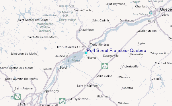