
| Distance / Altitude | Location | Report Date / Time | Live Weather | Wind | Gusts | Temp. | Visibility | Cloud |
|---|---|---|---|---|---|---|---|---|
| 8 km NW / 21 m | Bauerfield Airport - Efate Island (Vanuatu) | 2026-07-05 11:00 local (2026/07/05 00:00 GMT) | Dry and partly cloudy | moderate winds from the ESE (22 km/h at 120) | 22°C | 10.0 | broken broken - | |
| 211 km SSE / 6 m | Whitegrass Airport - Tanna (Vanuatu) | 2026-07-05 11:00 local (2026/07/05 00:00 GMT) | Dry and partly cloudy | light winds from the SE (9 km/h at 140) | 24°C | 10.0 | scattered broken - | |
| 274 km NW / 44 m | Santo-Pekoa Airport (Vanuatu) | 2026-07-05 11:00 local (2026/07/05 00:00 GMT) | Dry and partly cloudy | light winds from the SE (15 km/h at 130) | 25°C | 10.0 | scattered broken | |
| 274 km NW / 44 m | Pekoa Airport/Santo (Vanuatu) | 2026-07-05 11:00 local (2026/07/05 00:00 GMT) | Dry and partly cloudy | light winds from the SE (15 km/h at 130) | 25°C | 10.0 | scattered broken | |
| 274 km N / 51 m | Longana Airport (Vanuatu) | 2026-07-05 11:00 local (2026/07/05 00:00 GMT) | Dry and partly cloudy | light winds from the S (15 km/h at 180) | 27°C | 10.0 | broken broken | |
| 316 km SSE / 3 m | Bauerfield International Airport (Port Vila) (Vanuatu) | 2026-07-05 11:00 local (2026/07/05 00:00 GMT) | Dry and partly cloudy | light winds from the ESE (6 km/h at 120) | 24°C | 10.0 | scattered | |
| 354 km S / 32 m | Ouanaham (Ile Lifou) (New Caledonia) | 2026-07-05 12:00 local (2026/07/05 01:00 GMT) | no report | light winds from the SE (11 km/h at 140) | 21°C | 60 | - | |
| 369 km S / 9 m | Ouloup (Ile Ouvea) (New Caledonia) | 2026-07-05 12:00 local (2026/07/05 01:00 GMT) | no report | light winds from the SE (18 km/h at 130) | 22°C | 20 | - - - | |
| 414 km S / 48 m | LA Roche (Ile Mare) (New Caledonia) | 2026-07-05 12:00 local (2026/07/05 01:00 GMT) | no report | calm (4 km/h at 240) | 17°C | 20 | - - - | |
| 441 km N / 18 m | Sola (Vanua Lava Island) (Vanuatu) | 2026-07-05 11:00 local (2026/07/05 00:00 GMT) | Shower light rain shower | light winds from the E (15 km/h at 100) | 27°C | 10.0 | scattered broken - |
| Contours: | Roads & Rivers: | Select a
tide station / surf break / city |
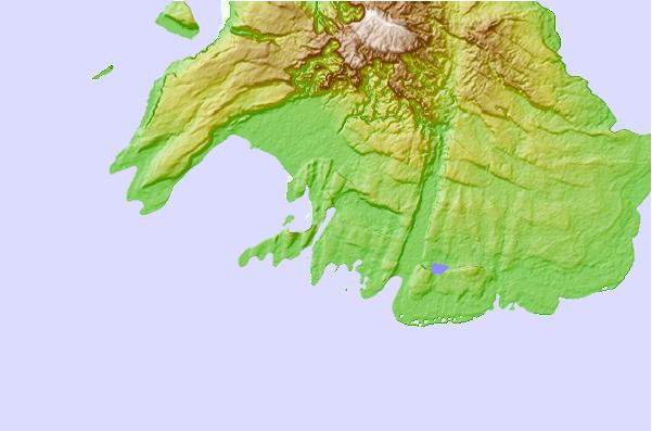
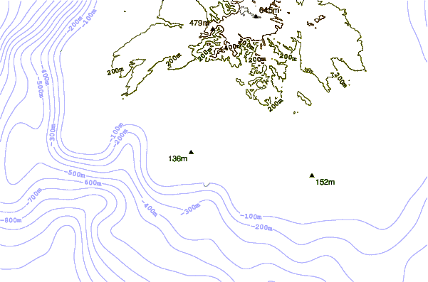
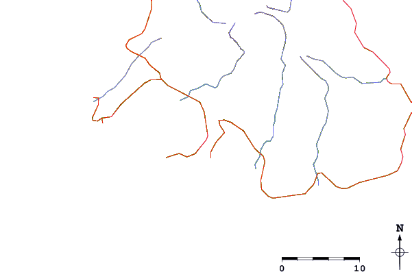
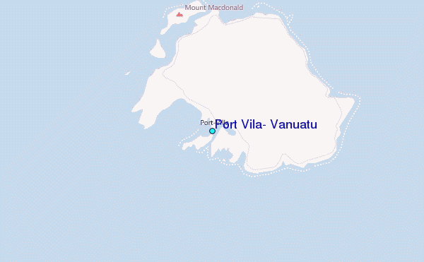
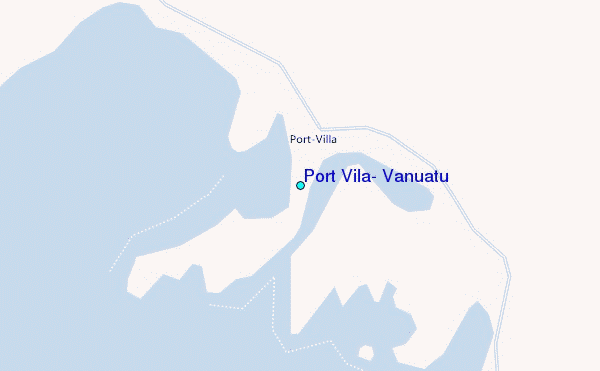
Use this relief map to navigate to tide stations, surf breaks and cities that are in the area of Port Vila, Vanuatu.
Other Nearby Locations' tide tables and tide charts to Port Vila, Vanuatu:
click location name for more details
 Surf breaks close to Port Vila, Vanuatu:
|
||
|---|---|---|
| Closest surf break | Ifira Island | 2 mi |
| Second closest surf break | Boats | 3 mi |
| Third closest surf break | Erakor Island | 3 mi |
| Fourth closest surf break | Fast Lefts | 3 mi |
| Fifth closest surf break | Triplets | 3 mi |


 Nearest
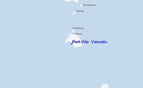