
| Distance / Altitude | Location | Report Date / Time | Live Weather | Wind | Gusts | Temp. | Visibility | Cloud |
|---|---|---|---|---|---|---|---|---|
| 71 km S / 68 m | Rocky Harbour- Nfld (Canada) | 2026-07-26 07:30 local (2026/07/26 10:00 GMT) | no report | wind obs. (7 kph from 250 degs) was rejected (- km/h at -) | 20°C | - | - | |
| 72 km S / 216 m | Rocky Harbour Airport (Newfoundland) | 2026-07-26 06:30 local (2026/07/26 09:00 GMT) | - | light winds from the E (7 km/h at 100) | 15°C | 0.0 | ||
| 72 km S / 216 m | Rocky Harbour Airport (Newfoundland) | 2026-07-26 06:30 local (2026/07/26 09:00 GMT) | - | light winds from the E (7 km/h at 100) | 15°C | 0.0 | ||
| 99 km NNE / 6 m | Ferolle Point (Aut)- Nfld (Canada) | 2026-07-26 07:30 local (2026/07/26 10:00 GMT) | no report | strong winds from the SSW (50 km/h at 200) | 13°C | - | - - - | |
| 99 km NNE / 216 m | Ferolle Point Airport (Newfoundland) | 2026-07-26 06:30 local (2026/07/26 09:00 GMT) | - | light winds from the SSW (17 km/h at 210) | 14°C | 0.0 | ||
| 108 km S / 22 m | Deer Lake Airport (Canada) | 2026-07-26 07:30 local (2026/07/26 10:00 GMT) | - | - (- km/h at -) | — | - | - - - | |
| 109 km S / 217 m | Deer Lake Airport (Newfoundland) | 2026-07-26 06:30 local (2026/07/26 09:00 GMT) | Fog shallow - | calm (0 km/h at 0) | 10°C | 24 | few | |
| 121 km ENE / 216 m | Englee Airport (Newfoundland) | 2026-07-26 06:30 local (2026/07/26 09:00 GMT) | - | light winds from the NW (11 km/h at 310) | 16°C | 0.0 | ||
| 121 km ENE / 30 m | Englee (Aut)- Nfld (Canada) | 2026-07-26 07:30 local (2026/07/26 10:00 GMT) | - | wind obs. (47 kph from 280 degs) was rejected (- km/h at -) | — | - | - - - | |
| 141 km ESE / 194 m | La Scie, Newfoundland (Canada) | 2026-07-26 07:30 local (2026/07/26 10:00 GMT) | - | wind obs. (14 kph from 230 degs) was rejected (- km/h at -) | — | - | - - - |
| Contours: | Roads & Rivers: | Select a
tide station / surf break / city |
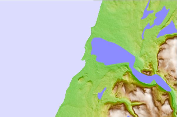
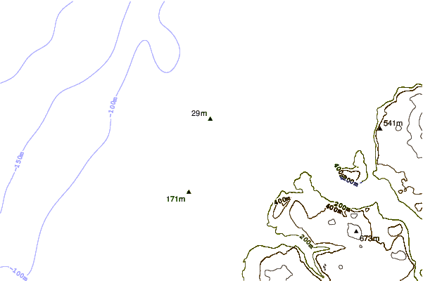
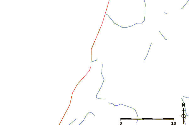
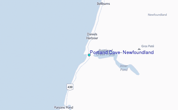
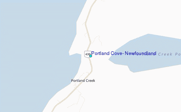
Use this relief map to navigate to tide stations, surf breaks and cities that are in the area of Portland Cove, Newfoundland.
Other Nearby Locations' tide tables and tide charts to Portland Cove, Newfoundland:
click location name for more details
 Surf breaks close to Portland Cove, Newfoundland:
|
||
|---|---|---|
| Closest surf break | Ingonish Beach | 277 mi |
| Second closest surf break | Kennington Cove | 319 mi |
| Third closest surf break | Michaud Point | 349 mi |
| Fourth closest surf break | Martinique | 461 mi |
| Fifth closest surf break | Lawrencetown Left Point | 467 mi |


 Nearest
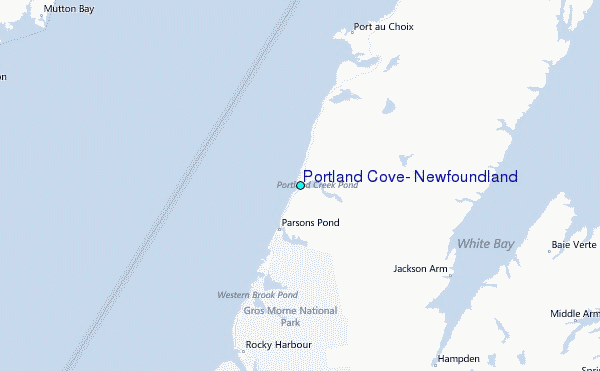