
| Distance / Altitude | Location | Report Date / Time | Live Weather | Wind | Gusts | Temp. | Visibility | Cloud |
|---|---|---|---|---|---|---|---|---|
| 17 km ESE / 3 m | BUOY-WPOW1 (Marine) | 2026-07-27 21:00 local (2026/07/28 04:00 GMT) | light winds from the NE (17 km/h at 50) | 18°C | - | |||
| 18 km S / 3 m | BUOY-BMTW1 (Marine) | 2026-07-27 20:48 local (2026/07/28 03:48 GMT) | light winds from the ENE (9 km/h at 60) | 23°C | - | |||
| 18 km ENE / 3 m | BUOY-46120 (Marine) | 2026-07-27 19:50 local (2026/07/28 02:50 GMT) | moderate winds from the NNW (22 km/h at 340) | 18°C | - | |||
| 21 km N / 3 m | BUOY-46125 (Marine) | 2026-07-27 19:50 local (2026/07/28 02:50 GMT) | light winds from the N (18 km/h at 360) | 16°C | - | |||
| 25 km SE / 100 m | Seattle (Washington) | 2026-07-27 20:43 local (2026/07/28 03:43 GMT) | - | - (- km/h at ) | — | - | - - 0 | |
| 26 km S / 537 m | Bremerton National Airport (Washington) | 2026-07-27 19:56 local (2026/07/28 02:56 GMT) | - | light winds from the WSW (15 km/h at 240) | 23°C | 16 | few | |
| 26 km ESE / 3 m | BUOY-EBSW1 (Marine) | 2026-07-27 20:48 local (2026/07/28 03:48 GMT) | - (- km/h at -) | — | - | |||
| 31 km SE / 218 m | Seattle/Boeing Airport (Washington) | 2026-07-27 19:53 local (2026/07/28 02:53 GMT) | - | light winds from the N (9 km/h at 1) | 24°C | 16 | few | |
| 34 km NE / 218 m | Everett Airport (Washington) | 2026-07-27 19:53 local (2026/07/28 02:53 GMT) | Clear | light winds from the N (13 km/h at 350) | 19°C | 16 | ||
| 39 km NW / 37 m | Port Townsend Airport (Washington) (Washington) | 2026-07-27 20:35 local (2026/07/28 03:35 GMT) | - | light winds from the NNW (11 km/h at 330) | 18°C | 16 | few |
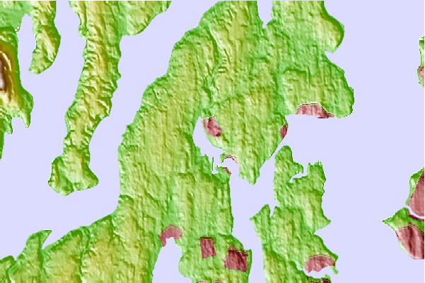
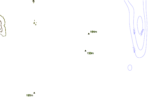
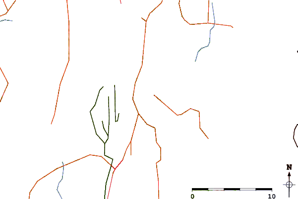
| Contours: | Roads & Rivers: | Select a
tide station / surf break / city |
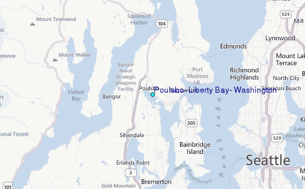
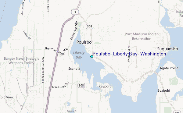
Use this relief map to navigate to tide stations, surf breaks and cities that are in the area of Poulsbo, Liberty Bay, Washington.
Other Nearby Locations' tide tables and tide charts to Poulsbo, Liberty Bay, Washington:
click location name for more details
 Surf breaks close to Poulsbo, Liberty Bay, Washington:
|
||
|---|---|---|
| Closest surf break | Fort. Ebey | 35 mi |
| Second closest surf break | Super green | 40 mi |
| Third closest surf break | Elwha | 52 mi |
| Fourth closest surf break | Crescent | 58 mi |
| Fifth closest surf break | Whiskey Creek | 61 mi |


 Nearest
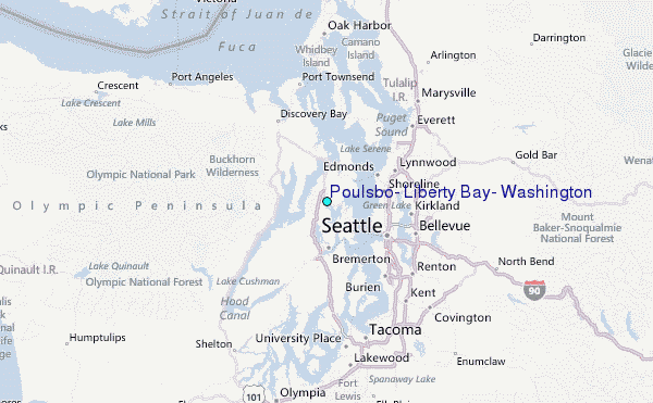