
| Distance / Altitude | Location | Report Date / Time | Live Weather | Wind | Gusts | Temp. | Visibility | Cloud |
|---|---|---|---|---|---|---|---|---|
| 24 km ESE / 206 m | Barranquilla/Ernesto Cortissoz International Airport (Columbia) | 2025-12-26 05:00 local (2025/12/26 10:00 GMT) | - | light winds from the NE (17 km/h at 40) | — | 0.0 | ||
| 83 km ENE / 4 m | Gaira wx (Colombia) | 2025-12-26 04:59 local (2025/12/26 09:59 GMT) | dry | wind obs. (11 kph from 151 degs) was rejected (- km/h at -) | 27°C | - | - - 0 | |
| 83 km E / 96 m | Santa Marta/Simón Bolívar International Airport (Columbia) | 2025-12-26 05:00 local (2025/12/26 10:00 GMT) | - | calm (4 km/h at 90) | — | 0.0 | ||
| 86 km SSW / 6 m | Rafael Nuñez wx (Colombia) | 2025-12-26 06:43 local (2025/12/26 11:43 GMT) | - | wind obs. (18 kph from 156 degs) was rejected (- km/h at -) | 21°C | - | - - 0 | |
| 87 km SSW / 201 m | Cartagena/Rafael Airport (Columbia) | 2025-12-26 05:00 local (2025/12/26 10:00 GMT) | - | light winds from the NNE.(Wind varies from 350 to 060 degs) (6 km/h at 20) | — | 0.0 | ||
| 88 km SSW / 3 m | SHIP2485 (Marine) | 2025-12-26 06:00 local (2025/12/26 11:00 GMT) | light winds from the NE (18 km/h at 40) | 25°C | 9.3 | |||
| 88 km ENE / 8 m | Barrio Cundi wx (Colombia) | 2025-12-26 06:02 local (2025/12/26 11:02 GMT) | dry | calm (5 km/h at 170) | 23°C | - | - - 0 | |
| 88 km SSW / - m | SHIP483 (ocean) | 2025-12-26 06:00 local (2025/12/26 11:00 GMT) | Clouds dissolving | light winds from the NE (19 km/h at 40) | 25°C | 10 km | no observation | |
| 88 km SSW / - m | SHIP1239 (ocean) | 2025-12-26 06:00 local (2025/12/26 11:00 GMT) | Clouds dissolving | light winds from the NE (19 km/h at 40) | 25°C | 10 km | no observation | |
| 199 km ESE / 95 m | Valledupar/Aeropuerto Alfonso López Pumarejo Airport (Columbia) | 2025-12-26 05:00 local (2025/12/26 10:00 GMT) | - | light winds from the ENE (19 km/h at 60) | — | 0.0 |
| Contours: | Roads & Rivers: | Select a
tide station / surf break / city |
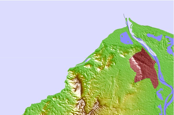
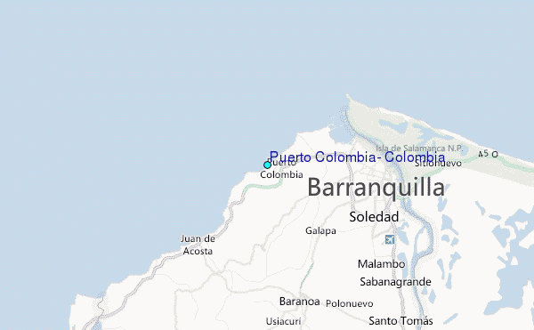
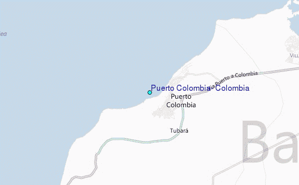
Use this relief map to navigate to tide stations, surf breaks and cities that are in the area of Puerto Colombia, Colombia.
Other Nearby Locations' tide tables and tide charts to Puerto Colombia, Colombia:
click location name for more details
 Surf breaks close to Puerto Colombia, Colombia:
|
||
|---|---|---|
| Closest surf break | EL Muelle | 1 mi |
| Second closest surf break | Pradomar | 1 mi |
| Third closest surf break | El Bolsillo | 1 mi |
| Fourth closest surf break | El Paredon | 2 mi |
| Fifth closest surf break | Salgar | 3 mi |


 Nearest
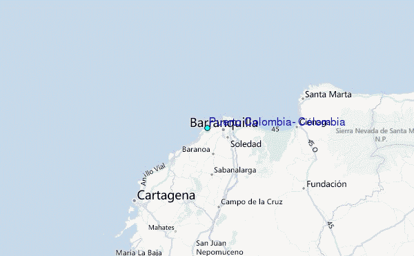