
| Distance / Altitude | Location | Report Date / Time | Live Weather | Wind | Gusts | Temp. | Visibility | Cloud |
|---|---|---|---|---|---|---|---|---|
| 24 km ESE / 206 m | Barranquilla/Ernesto Cortissoz International Airport (Columbia) | 2026-07-09 13:00 local (2026/07/09 18:00 GMT) | - | light winds from the S (19 km/h at 180) | — | 0.0 | ||
| 83 km ENE / 4 m | Gaira wx (Colombia) | 2026-07-09 14:44 local (2026/07/09 19:44 GMT) | dry | calm (3 km/h at 4) | 32°C | - | - - 0 | |
| 83 km E / 96 m | Santa Marta/Simón Bolívar International Airport (Columbia) | 2026-07-09 13:00 local (2026/07/09 18:00 GMT) | Dry and partly cloudy | light winds from the SW.(Wind varies from 190 to 250 degs) (7 km/h at 230) | 31°C | 10.0 | few scattered | |
| 86 km SSW / 6 m | Rafael Nuñez wx (Colombia) | 2026-07-09 14:38 local (2026/07/09 19:38 GMT) | - | moderate winds from the NE (24 km/h at 35) | 28°C | - | - - 0 | |
| 87 km SSW / 201 m | Cartagena/Rafael Airport (Columbia) | 2026-07-09 13:00 local (2026/07/09 18:00 GMT) | Dry and partly cloudy | light winds from the NNW (15 km/h at 330) | 31°C | 10.0 | scattered | |
| 157 km SW / 0 m | lightning 101km WNW of Cartagena (Colombia) | 2026-07-09 13:33 local (2026/07/09 18:33 GMT) | Thunderstorm | (- km/h at -) | — | |||
| 199 km ESE / 95 m | Valledupar/Aeropuerto Alfonso López Pumarejo Airport (Columbia) | 2026-07-09 13:00 local (2026/07/09 18:00 GMT) | Dry and partly cloudy | light winds from the S.(Wind varies from 120 to 220 degs) (11 km/h at 170) | 36°C | 10.0 | broken | |
| 231 km ENE / 78 m | Riohacha/Almirante Padilla Airport (Columbia) | 2026-07-09 13:00 local (2026/07/09 18:00 GMT) | - | moderate winds from the ESE.(Wind varies from 080 to 140 degs) (26 km/h at 110) | 34°C | 10.0 | few | |
| 259 km S / 89 m | Montería/Los Garzones Airport (Columbia) | 2026-07-09 13:00 local (2026/07/09 18:00 GMT) | - | light winds from the S.(Wind varies from 080 to 250 degs) (6 km/h at 180) | 28°C | 10.0 | few | |
| 359 km E / 384 m | Maracaibo/La Chinita Airport (Venezuela) | 2026-07-09 13:00 local (2026/07/09 18:00 GMT) | Dry and partly cloudy | calm (0 km/h at 110) | 33°C | 10.0 | broken |
| Contours: | Roads & Rivers: | Select a
tide station / surf break / city |
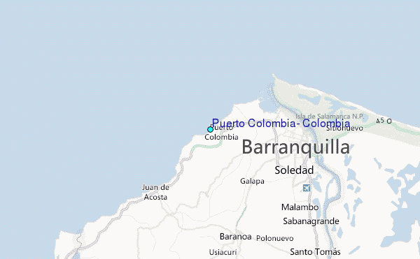
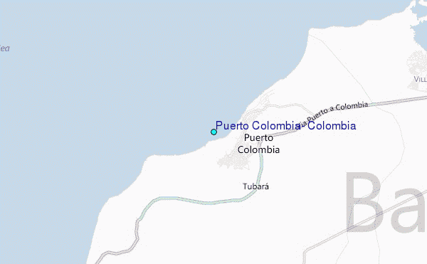
Use this relief map to navigate to tide stations, surf breaks and cities that are in the area of Puerto Colombia, Colombia.
Other Nearby Locations' tide tables and tide charts to Puerto Colombia, Colombia:
click location name for more details
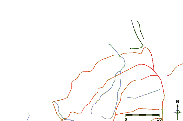
 Surf breaks close to Puerto Colombia, Colombia:
|
||
|---|---|---|
| Closest surf break | EL Muelle | 1 mi |
| Second closest surf break | Pradomar | 1 mi |
| Third closest surf break | El Bolsillo | 1 mi |
| Fourth closest surf break | El Paredon | 2 mi |
| Fifth closest surf break | Salgar | 3 mi |


 Nearest
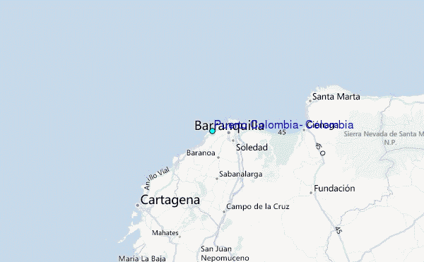