
| Distance / Altitude | Location | Report Date / Time | Live Weather | Wind | Gusts | Temp. | Visibility | Cloud |
|---|---|---|---|---|---|---|---|---|
| 124 km ESE / 210 m | Hall Beach Airport (N.w. Territories) | 2025-12-26 05:35 local (2025/12/26 10:35 GMT) | Light snow | strong winds from the SSE (41 km/h at 150) | -17°C | 1 | overcast | |
| 124 km ESE / 8 m | Hall Beach (Canada) | 2025-12-26 06:00 local (2025/12/26 11:00 GMT) | - | wind obs. (22 kph from 300 degs) was rejected (- km/h at -) | — | - | - - - | |
| 233 km SW / 17 m | Kugaaruk Climate (Canada) | 2025-12-26 04:00 local (2025/12/26 09:00 GMT) | - | wind obs. (7 kph from 10 degs) was rejected (- km/h at -) | — | - | - no observation - | |
| 421 km SSW / 18 m | Wager Bay (Nunavut) | 2025-12-26 05:00 local (2025/12/26 10:00 GMT) | - | light winds from the S (6 km/h at 190) | -19°C | 0.0 | ||
| 437 km N / 10 m | Arctic Bay Cs- NU (Canada) | 2025-12-26 06:00 local (2025/12/26 11:00 GMT) | - | light winds from the SE (14 km/h at 140) | — | - | - no observation - | |
| 438 km N / 2 m | Arctic Bay Airport (N.w. Territories) | 2025-12-26 05:00 local (2025/12/26 10:00 GMT) | - | wind obs. (7 kph from 10 degs) was rejected (- km/h at -) | -30°C | 0.0 | ||
| 459 km NNE / 217 m | Pond Inlet Airport (N.w. Territories) | 2025-12-26 05:00 local (2025/12/26 10:00 GMT) | Dry and partly cloudy | light winds from the SSE (17 km/h at 150) | -25°C | 14 | broken | |
| 462 km NNE / 62 m | Pond Inlet A- NU (Canada) | 2025-12-26 06:00 local (2025/12/26 11:00 GMT) | - | light winds from the SW (7 km/h at 230) | — | - | - | |
| 463 km NNE / 55 m | Pond Inlet Climate- NU (Canada) | 2025-12-26 06:00 local (2025/12/26 11:00 GMT) | - | wind obs. (7 kph from 250 degs) was rejected (- km/h at -) | — | - | - | |
| 470 km WSW / 47 m | Gjoa Haven (Canada) | 2025-12-26 06:00 local (2025/12/26 11:00 GMT) | - | light winds from the SSW (19 km/h at 210) | — | 2.4 km | - overcast - |
| Contours: | Roads & Rivers: | Select a
tide station / surf break / city |
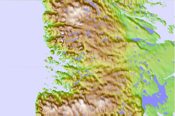
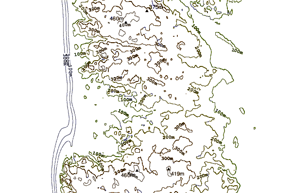
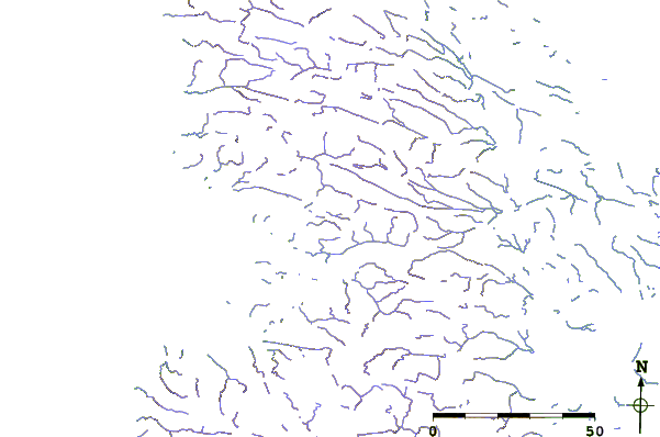
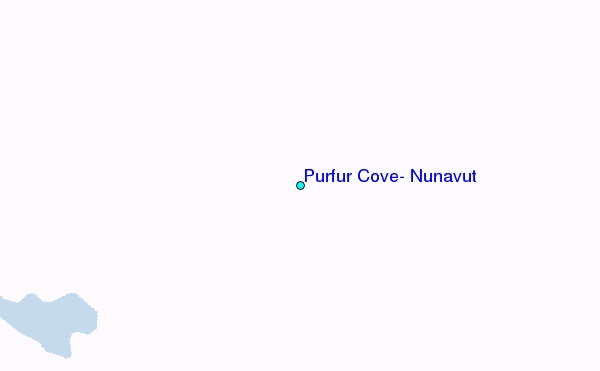
Use this relief map to navigate to tide stations, surf breaks and cities that are in the area of Purfur Cove, Nunavut.
Other Nearby Locations' tide tables and tide charts to Purfur Cove, Nunavut:
click location name for more details
 Surf breaks close to Purfur Cove, Nunavut:
|
||
|---|---|---|
| Closest surf break | Marathon | 1409 mi |
| Second closest surf break | Keweenaw Peninsula | 1501 mi |
| Third closest surf break | Alona Bay | 1515 mi |
| Fourth closest surf break | Apostle Islands | 1537 mi |
| Fifth closest surf break | Ontonagon | 1544 mi |


 Nearest
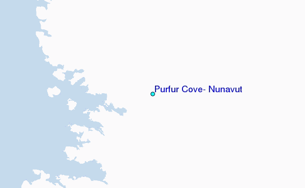