
| Distance / Altitude | Location | Report Date / Time | Live Weather | Wind | Gusts | Temp. | Visibility | Cloud |
|---|---|---|---|---|---|---|---|---|
| 12 km S / 476 m | Campbell River Airport (British Columbia) | 2024-07-26 16:00 local (2024/07/26 23:00 GMT) | Dry and partly cloudy | light winds from the E.(Wind varies from 050 to 140 degs) (9 km/h at 90) | 23°C | 48 | few broken | |
| 23 km SE / 3 m | Sentry Shoal Buoy (Marine) | 2024-07-26 17:00 local (2024/07/27 00:00 GMT) | calm (4 km/h at 90) | 20°C | - | |||
| 23 km SE / - m | SHIP598 (ocean) | 2024-07-26 17:00 local (2024/07/27 00:00 GMT) | - | calm (4 km/h at 90) | 20°C | - | no observation | |
| 23 km ENE / 104 m | Squirrel Cove (Canada) | 2024-07-26 17:15 local (2024/07/27 00:15 GMT) | dry | calm (0 km/h at 94) | 23°C | - | - - 0 | |
| 23 km E / 24 m | Seaford wx (Canada) | 2024-07-26 17:05 local (2024/07/27 00:05 GMT) | dry | calm (3 km/h at 244) | 22°C | - | - - 0 | |
| 23 km SE / - m | SHIP1577 (ocean) | 2024-07-26 17:00 local (2024/07/27 00:00 GMT) | - | calm (4 km/h at 90) | 20°C | - | no observation | |
| 43 km SSE / 216 m | Comox Millitary Base Airport (British Columbia) | 2024-07-26 16:00 local (2024/07/26 23:00 GMT) | Dry and partly cloudy | light winds from the NE (9 km/h at 50) | 21°C | 32 | broken broken | |
| 44 km SSE / 26 m | Cfb - Comox- BC (Canada) | 2024-07-26 17:00 local (2024/07/27 00:00 GMT) | no report | wind obs. (6 kph from 40 degs) was rejected (- km/h at -) | 21°C | 50 km | - mostly cloudy - | |
| 57 km ESE / 125 m | Powell River- BC (Canada) | 2024-07-26 17:00 local (2024/07/27 00:00 GMT) | no report | - (- km/h at -) | 11°C | - | - | |
| 58 km ESE / 387 m | Powell River Airport (British Columbia) | 2024-07-26 16:00 local (2024/07/26 23:00 GMT) | - | light winds from the W (13 km/h at 260) | — | 48 | few few broken |
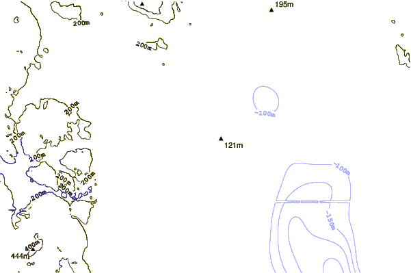
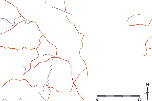
| Contours: | Roads & Rivers: | Select a
tide station / surf break / city |
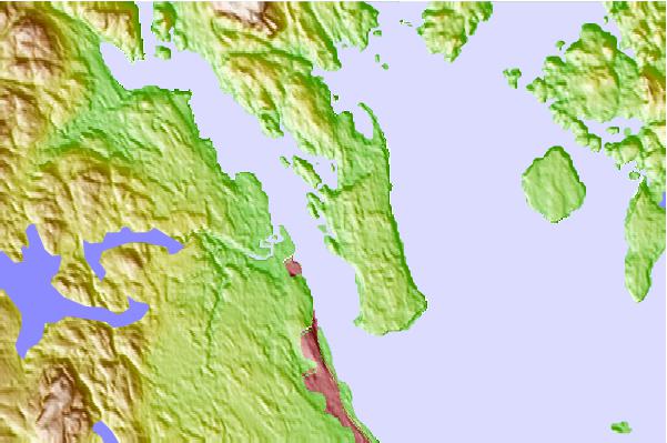
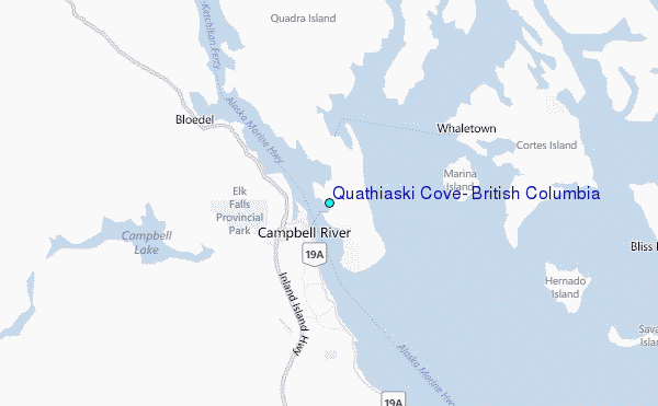
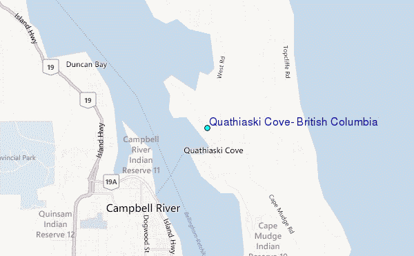
Use this relief map to navigate to tide stations, surf breaks and cities that are in the area of Quathiaski Cove, British Columbia.
Other Nearby Locations' tide tables and tide charts to Quathiaski Cove, British Columbia:
click location name for more details
 Surf breaks close to Quathiaski Cove, British Columbia:
|
||
|---|---|---|
| Closest surf break | South Chesterman Beach | 71 mi |
| Second closest surf break | Rosie's Bay | 71 mi |
| Third closest surf break | Tofino (North Chestermans Beach) | 71 mi |
| Fourth closest surf break | Cox Bay | 72 mi |
| Fifth closest surf break | Long Beach (Tofino Airport) | 72 mi |

 Nearest
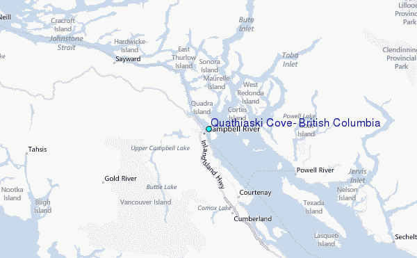