
| Distance / Altitude | Location | Report Date / Time | Live Weather | Wind | Gusts | Temp. | Visibility | Cloud |
|---|---|---|---|---|---|---|---|---|
| 1 km WNW / 8 m | Ramrod Key (Florida) | 2026-06-06 20:32 local (2026/06/07 00:32 GMT) | dry | light winds from the E (8 km/h at 96) | 28°C | - | - - 0 | |
| 8 km WSW / 5 m | Cudjoe Key (Florida) | 2026-06-06 20:09 local (2026/06/07 00:09 GMT) | dry | - (- km/h at ) | 27°C | - | - - 0 | |
| 28 km SW / 219 m | Key West Naval Air Station Airport (Florida) | 2026-06-06 18:53 local (2026/06/06 22:53 GMT) | - | moderate winds from the E (22 km/h at 90) | 28°C | 16 | few | |
| 30 km E / 3 m | BUOY-SMKF1 (Marine) | 2026-06-06 20:20 local (2026/06/07 00:20 GMT) | moderate winds from the ENE (24 km/h at 70) | 28°C | - | |||
| 30 km ENE / 3 m | BUOY-VCAF1 (Marine) | 2026-06-06 20:00 local (2026/06/07 00:00 GMT) | light winds from the E (18 km/h at 80) | 28°C | - | |||
| 35 km ENE / 2 m | Castle Rock (Colorado) | 2026-06-06 20:10 local (2026/06/07 00:10 GMT) | dry | calm (5 km/h at 43) | 27°C | - | - - 0 | |
| 37 km SW / 218 m | Key West Airport (Florida) | 2026-06-06 18:53 local (2026/06/06 22:53 GMT) | Clear | moderate winds from the E (20 km/h at 100) | 29°C | 16 | ||
| 37 km ENE / 217 m | Marathon Airport (Florida) | 2026-06-06 18:53 local (2026/06/06 22:53 GMT) | Clear | moderate winds from the E (22 km/h at 90) | 28°C | 16 | ||
| 42 km SW / 3 m | BUOY-KYWF1 (Marine) | 2026-06-06 20:00 local (2026/06/07 00:00 GMT) | light winds from the E (11 km/h at 100) | 29°C | - | |||
| 47 km ENE / 1 m | Jolly Roger Travel Park wx (United States) | 2026-06-06 19:44 local (2026/06/06 23:44 GMT) | dry | wind obs. (8 kph from 189 degs) was rejected (- km/h at -) | 27°C | - | - - 0 |
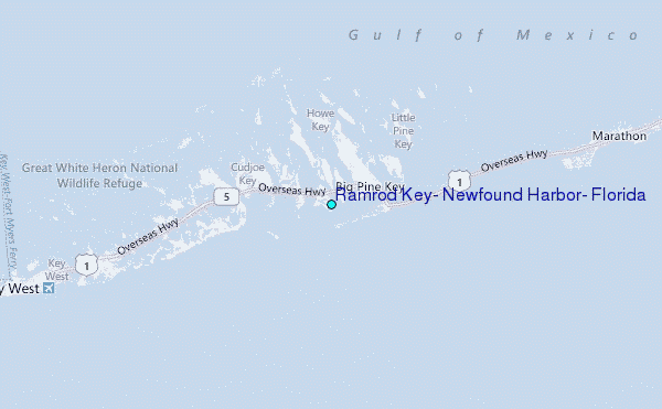
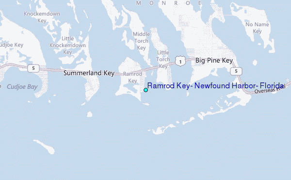
Choose Ramrod Key, Newfound Harbor, Florida Location Map Zoom:
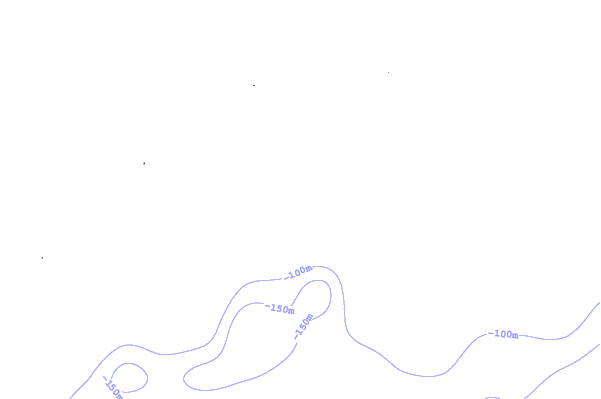
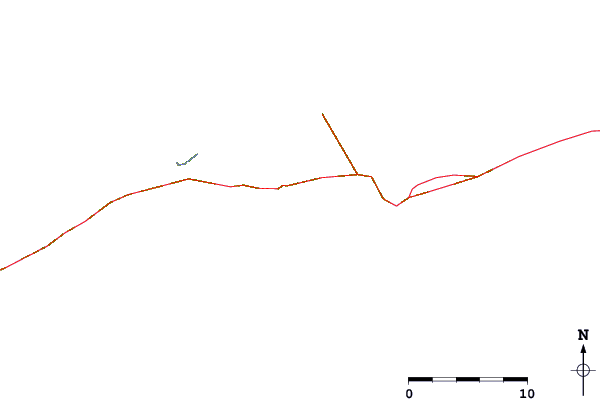
| Contours: | Roads & Rivers: | Select a
tide station / surf break / city |
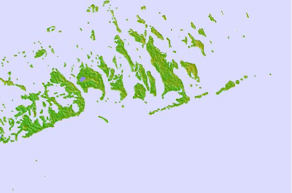
Use this relief map to navigate to tide stations, surf breaks and cities that are in the area of Ramrod Key, Newfound Harbor, Florida.
Other Nearby Locations' tide tables and tide charts to Ramrod Key, Newfound Harbor, Florida:
click location name for more details
 Surf breaks close to Ramrod Key, Newfound Harbor, Florida:
|
||
|---|---|---|
| Closest surf break | Naples Pier | 101 mi |
| Second closest surf break | South Beach (Miami) | 111 mi |
| Third closest surf break | Fifth Street (Miami) | 111 mi |
| Fourth closest surf break | 21st Street (Miami) | 112 mi |
| Fifth closest surf break | Dunes Hotel (Miami) | 114 mi |


 Nearest
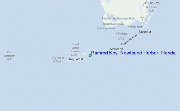