
| Distance / Altitude | Location | Report Date / Time | Live Weather | Wind | Gusts | Temp. | Visibility | Cloud |
|---|---|---|---|---|---|---|---|---|
| 5 km NE / 5 m | Pointe -AU -Pere (Inrs)- Que (Canada) | 2026-07-26 05:00 local (2026/07/26 09:00 GMT) | no report | wind obs. (22 kph from 220 degs) was rejected (- km/h at -) | 21°C | - | - - - | |
| 14 km NW / 3 m | SHIP3769 (Marine) | 2026-07-26 03:00 local (2026/07/26 07:00 GMT) | moderate winds from the NNE (21 km/h at 20) | — | - | |||
| 26 km ENE / 52 m | Mont -Joli A- Que (Canada) | 2026-07-26 05:00 local (2026/07/26 09:00 GMT) | - | - (- km/h at -) | — | - | - - - | |
| 26 km ENE / 217 m | Mont Joli Airport (Quebec) | 2026-07-26 04:00 local (2026/07/26 08:00 GMT) | Dry and partly cloudy | calm (4 km/h at 1) | 19°C | 48 | broken scattered broken | |
| 29 km SW / 7 m | Ile Bicquette- Que (Canada) | 2026-07-26 05:00 local (2026/07/26 09:00 GMT) | no report | fresh winds from the SSW (29 km/h at 210) | 16°C | - | - | |
| 24 km N / 3 m | SHIP4302 (Marine) | 2026-07-26 03:00 local (2026/07/26 07:00 GMT) | light winds from the NE (8 km/h at 40) | — | - | |||
| 24 km N / 3 m | SHIP650 (Marine) | 2026-07-26 03:00 local (2026/07/26 07:00 GMT) | light winds from the NE (8 km/h at 40) | — | - | |||
| 24 km N / 15 m | SHIP2749 (Marine) | 2026-07-26 03:00 local (2026/07/26 07:00 GMT) | light winds from the NE (7.5600000000000005 km/h at 40) | — | - km | |||
| 24 km N / 3 m | SHIP11119 (Marine) | 2026-07-26 03:00 local (2026/07/26 07:00 GMT) | light winds from the NE (8 km/h at 40) | — | - | |||
| 24 km N / 3 m | SHIP8410 (Marine) | 2026-07-26 03:00 local (2026/07/26 07:00 GMT) | light winds from the NE (8 km/h at 40) | — | - |

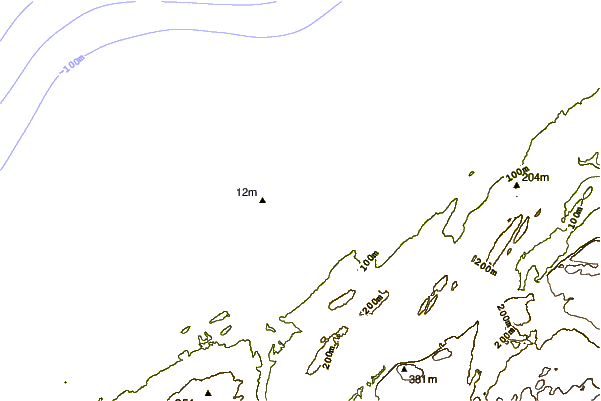
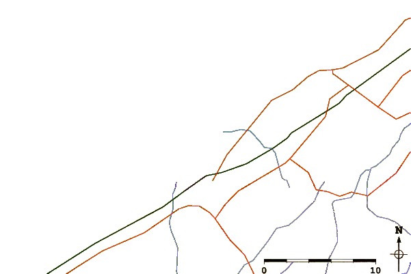
| Contours: | Roads & Rivers: | Select a
tide station / surf break / city |
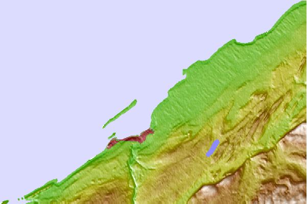
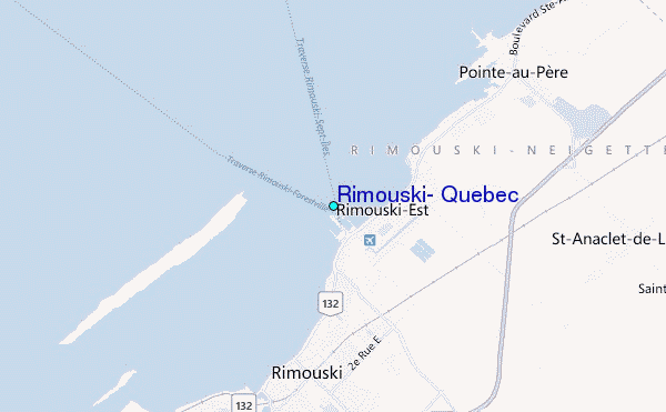
Use this relief map to navigate to tide stations, surf breaks and cities that are in the area of Rimouski, Quebec.
Other Nearby Locations' tide tables and tide charts to Rimouski, Quebec:
click location name for more details
 Surf breaks close to Rimouski, Quebec:
|
||
|---|---|---|
| Closest surf break | Popham Read | 334 mi |
| Second closest surf break | Trayhan's | 334 mi |
| Third closest surf break | Doc Browns | 350 mi |
| Fourth closest surf break | Two Lights | 350 mi |
| Fifth closest surf break | Higgins Beach | 351 mi |


 Nearest
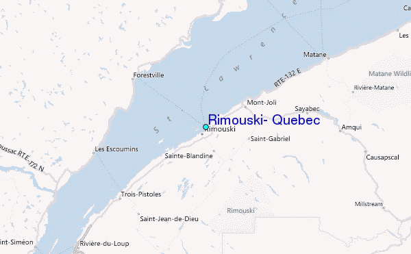