
| Distance / Altitude | Location | Report Date / Time | Live Weather | Wind | Gusts | Temp. | Visibility | Cloud |
|---|---|---|---|---|---|---|---|---|
| 10 km NNE / 4 m | Lunenburg Airport (Nova scotia) | 2026-05-18 13:00 local (2026/05/18 16:00 GMT) | - | moderate winds from the NW (20 km/h at 320) | 17°C | 0.0 | ||
| 19 km WNW / 23 m | Bridgewater wx (Canada) | 2026-05-18 13:43 local (2026/05/18 16:43 GMT) | dry | light winds from the SW (13 km/h at 233) | 21°C | - | - - 0 | |
| 25 km N / 16 m | Western Shore wx (Canada) | 2026-05-18 14:08 local (2026/05/18 17:08 GMT) | dry | - (- km/h at ) | 21°C | - | - - 0 | |
| 28 km SSW / 7 m | Mill Village (Nova Scotia) | 2026-05-18 12:36 local (2026/05/18 15:36 GMT) | dry | wind obs. (14 kph from 180 degs) was rejected (- km/h at -) | 19°C | - | - - 0 | |
| 42 km SSW / 10 m | Western Head- NS (Canada) | 2026-05-18 14:00 local (2026/05/18 17:00 GMT) | no report | light winds from the WSW (11 km/h at 250) | 10°C | - | - | |
| 44 km SSW / 217 m | Western Head Airport (Nova Scotia) | 2026-05-18 13:00 local (2026/05/18 16:00 GMT) | - | light winds from the S (15 km/h at 180) | 14°C | 0.0 | ||
| 57 km SSE / 3 m | SHIP7599 (Marine) | 2026-05-18 14:00 local (2026/05/18 17:00 GMT) | light winds from the WSW (17 km/h at 250) | 10°C | - | |||
| 57 km SSE / 15 m | SHIP8393 (Marine) | 2026-05-18 14:00 local (2026/05/18 17:00 GMT) | light winds from the WSW (16.56 km/h at 250) | — | - km | |||
| 57 km SSW / 61 m | Port Mouton wx (Canada) | 2026-05-18 14:08 local (2026/05/18 17:08 GMT) | dry | light winds from the WSW (8 km/h at 246) | 17°C | - | - - 0 | |
| 60 km SE / 15 m | SHIP3915 (Marine) | 2026-05-18 12:00 local (2026/05/18 15:00 GMT) | light winds from the WNW (12.96 km/h at 300) | — | - km |
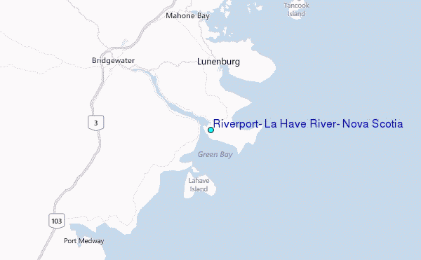
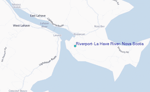
Choose Riverport, La Have River, Nova Scotia Location Map Zoom:
| Contours: | Roads & Rivers: | Select a
tide station / surf break / city |
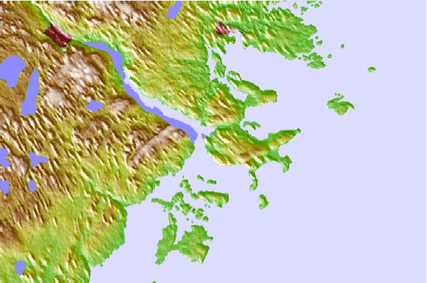
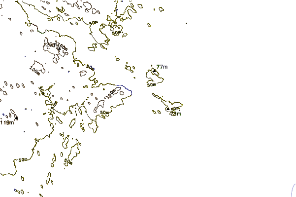
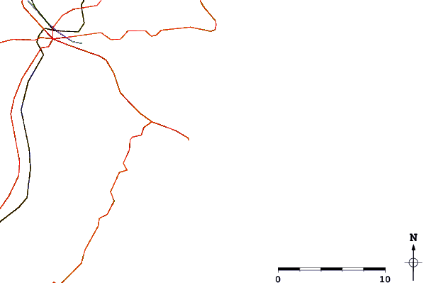
Use this relief map to navigate to tide stations, surf breaks and cities that are in the area of Riverport, La Have River, Nova Scotia.
Other Nearby Locations' tide tables and tide charts to Riverport, La Have River, Nova Scotia:
click location name for more details
 Surf breaks close to Riverport, La Have River, Nova Scotia:
|
||
|---|---|---|
| Closest surf break | Hirtle's Beach (Hartling Bay) | 3 mi |
| Second closest surf break | Broad Cove | 12 mi |
| Third closest surf break | Cherry Hill | 12 mi |
| Fourth closest surf break | Western Head Point | 26 mi |
| Fifth closest surf break | Western Head Reef | 27 mi |


 Nearest
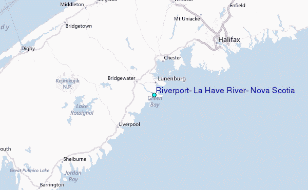