
| Distance / Altitude | Location | Report Date / Time | Live Weather | Wind | Gusts | Temp. | Visibility | Cloud |
|---|---|---|---|---|---|---|---|---|
| 39 km E / 191 m | Longue Point De Mingan Airport (Quebec) | 2025-12-25 02:00 local (2025/12/25 07:00 GMT) | - | calm (4 km/h at 20) | -13°C | 0.0 | - - - | |
| 40 km E / 11 m | Longue-Pointe-DE -Mingan- Que (Canada) | 2025-12-25 01:00 local (2025/12/25 06:00 GMT) | - | wind obs. (7 kph from 280 degs) was rejected (- km/h at -) | — | - | - no observation - | |
| 41 km E / 216 m | Ice Aux Perroquets (Quebec) | 2025-12-25 02:00 local (2025/12/25 07:00 GMT) | - | moderate winds from the NE (20 km/h at 40) | -11°C | 0.0 | - - - | |
| 42 km E / 9 m | IleAuxPerroquets- Que (Canada) | 2025-12-25 01:00 local (2025/12/25 06:00 GMT) | - | wind obs. (22 kph from 260 degs) was rejected (- km/h at -) | — | - | - no observation - | |
| 61 km SE / 55 m | Port -Menier- Que (Canada) | 2025-12-25 03:00 local (2025/12/25 08:00 GMT) | - | wind obs. (22 kph from 270 degs) was rejected (- km/h at -) | — | - | - no observation - | |
| 63 km SE / 194 m | Port Menier Airport (Quebec) | 2025-12-25 02:00 local (2025/12/25 07:00 GMT) | - | light winds from the E (7 km/h at 90) | -10°C | 0.0 | ||
| 83 km E / 217 m | Havre St Pierre Airport (Quebec) | 2025-12-25 02:00 local (2025/12/25 07:00 GMT) | Light snow | light winds from the NE.(Wind varies from 010 to 100 degs) (13 km/h at 40) | -12°C | 14 | overcast | |
| 84 km E / 38 m | HavreSt.Pierre- Que (Canada) | 2025-12-25 01:00 local (2025/12/25 06:00 GMT) | Continuous light snow | light winds from the NE (11 km/h at 40) | -13°C | 36 km | - overcast - | |
| 104 km WSW / 53 m | Sept-Îles (Canada) | 2025-12-25 03:00 local (2025/12/25 08:00 GMT) | no report | light winds from the NNE (7 km/h at 20) | -16°C | 0.0 | - - - | |
| 106 km WSW / 217 m | Sept Iles Airport (Quebec) | 2025-12-25 02:00 local (2025/12/25 07:00 GMT) | Light snow | light winds from the NNE (11 km/h at 30) | -16°C | 24 | overcast |
| Contours: | Roads & Rivers: | Select a
tide station / surf break / city |
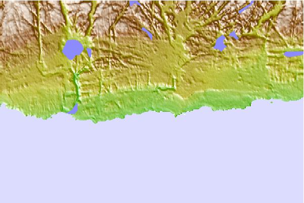
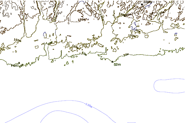
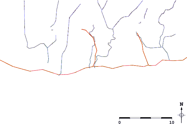
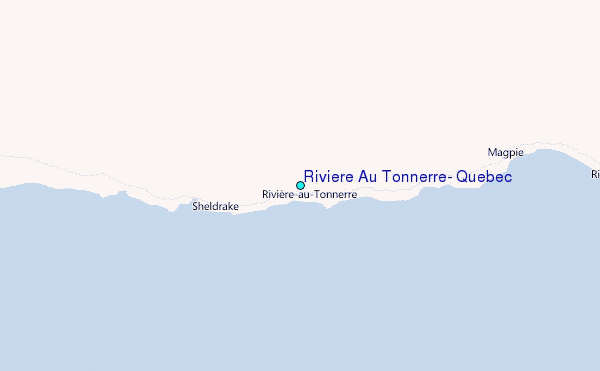
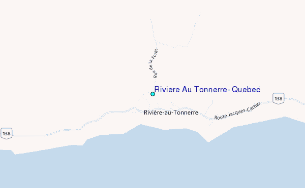
Use this relief map to navigate to tide stations, surf breaks and cities that are in the area of Riviere Au Tonnerre, Quebec.
Other Nearby Locations' tide tables and tide charts to Riviere Au Tonnerre, Quebec:
click location name for more details
 Surf breaks close to Riviere Au Tonnerre, Quebec:
|
||
|---|---|---|
| Closest surf break | Ingonish Beach | 323 mi |
| Second closest surf break | Kennington Cove | 375 mi |
| Third closest surf break | Michaud Point | 377 mi |
| Fourth closest surf break | Martinique | 395 mi |
| Fifth closest surf break | Backyards | 396 mi |


 Nearest
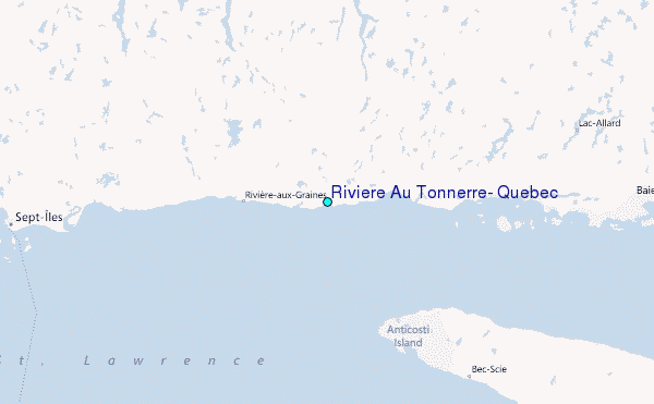