
| Distance / Altitude | Location | Report Date / Time | Live Weather | Wind | Gusts | Temp. | Visibility | Cloud |
|---|---|---|---|---|---|---|---|---|
| 13 km SE / 3 m | BUOY-FRDW1 (Marine) | 2026-03-06 23:36 local (2026/03/07 07:36 GMT) | calm (5 km/h at 170) | 9°C | - | |||
| 14 km SE / 219 m | Friday Harbor Airport (Washington) | 2026-03-06 22:53 local (2026/03/07 06:53 GMT) | Dry and cloudy | light winds from the SSE (9 km/h at 160) | 9°C | 14 | overcast | |
| 14 km ENE / 140 m | Eastsound (Washington) | 2026-03-07 00:18 local (2026/03/07 08:18 GMT) | dry | light winds from the SSE (14 km/h at 164) | 9°C | - | - - 0 | |
| 18 km N / 178 m | SaturnaCapmon-BC (Canada) | 2026-03-07 00:00 local (2026/03/07 08:00 GMT) | - | calm (4 km/h at 240) | — | - | - no observation - | |
| 18 km WSW / 15 m | SHIP10724 (Marine) | 2026-03-06 22:00 local (2026/03/07 06:00 GMT) | calm (1.8 km/h at 10) | — | - km | |||
| 19 km WSW / 15 m | SHIP10724 (Marine) | 2026-03-06 22:00 local (2026/03/07 06:00 GMT) | calm (1.8 km/h at 10) | — | - km | |||
| 19 km WSW / 15 m | SHIP9083 (Marine) | 2026-03-06 22:00 local (2026/03/07 06:00 GMT) | calm (1.8 km/h at 10) | — | - km | |||
| 19 km WSW / 3 m | SHIP8880 (Marine) | 2026-03-06 22:00 local (2026/03/07 06:00 GMT) | calm (2 km/h at 10) | 9°C | - | |||
| 19 km WSW / 15 m | SHIP9975 (Marine) | 2026-03-06 22:00 local (2026/03/07 06:00 GMT) | calm (1.8 km/h at 10) | — | - km | |||
| 19 km WSW / 15 m | SHIP4239 (Marine) | 2026-03-06 22:00 local (2026/03/07 06:00 GMT) | calm (1.8 km/h at 10) | — | - km |
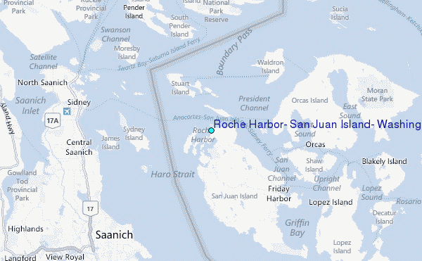
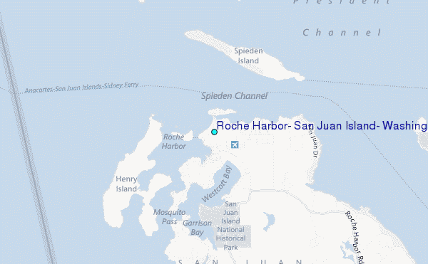
Choose Roche Harbor, San Juan Island, Washington Location Map Zoom:
| Contours: | Roads & Rivers: | Select a
tide station / surf break / city |
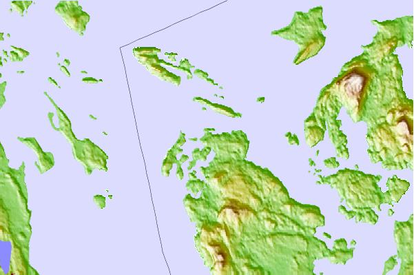
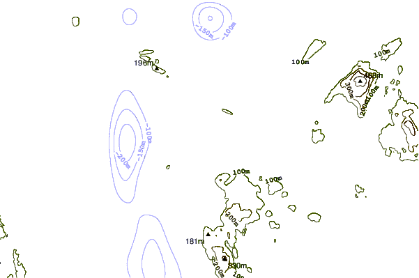
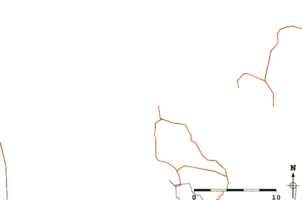
Use this relief map to navigate to tide stations, surf breaks and cities that are in the area of Roche Harbor, San Juan Island, Washington.
Other Nearby Locations' tide tables and tide charts to Roche Harbor, San Juan Island, Washington:
click location name for more details
 Surf breaks close to Roche Harbor, San Juan Island, Washington:
|
||
|---|---|---|
| Closest surf break | Fort. Ebey | 32 mi |
| Second closest surf break | Super green | 35 mi |
| Third closest surf break | Elwha | 38 mi |
| Fourth closest surf break | Jordan River | 40 mi |
| Fifth closest surf break | Crescent | 40 mi |


 Nearest
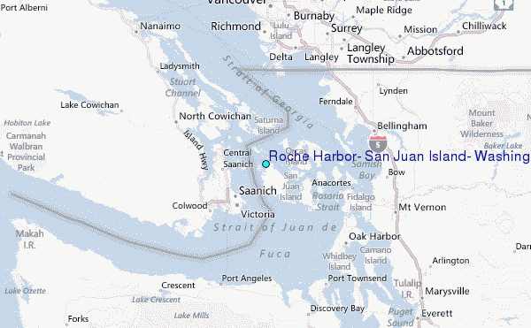