
| Distance / Altitude | Location | Report Date / Time | Live Weather | Wind | Gusts | Temp. | Visibility | Cloud |
|---|---|---|---|---|---|---|---|---|
| 3 km N / 0 m | Oosterschelde 4 (Netherlands) | 2025-12-24 19:00 local (2025/12/24 18:00 GMT) | no report | light winds from the NNE (14 km/h at 30) | — | - | - | |
| 8 km S / 1 m | Snackpoint Wimpie (Netherlands) | 2025-12-24 21:00 local (2025/12/24 20:00 GMT) | - | moderate winds from the ENE (28 km/h at 71) | 1°C | - | - - 0 | |
| 16 km S / 15 m | SHIP4770 (Marine) | 2025-12-24 19:00 local (2025/12/24 18:00 GMT) | - (- km/h at -) | — | - km | |||
| 16 km NW / 0 m | Oosterschelde WP (Netherlands) | 2025-12-24 19:00 local (2025/12/24 18:00 GMT) | no report | moderate winds from the NNE (25 km/h at 30) | — | - | - | |
| 19 km SE / 1 m | Wilhelminadorp Automatic Weather Station (Netherlands) | 2025-12-24 20:00 local (2025/12/24 19:00 GMT) | - | fresh winds from the ENE (32 km/h at 60) | 1°C | - | no observation | |
| 16 km S / 15 m | SHIP4409 (Marine) | 2025-12-24 19:00 local (2025/12/24 18:00 GMT) | - (- km/h at -) | — | - km | |||
| 16 km S / 3 m | SHIP2114 (Marine) | 2025-12-24 19:00 local (2025/12/24 18:00 GMT) | - (- km/h at -) | — | - | |||
| 16 km NW / 0 m | Oosterschelde WP (Netherlands) | 2025-12-24 19:00 local (2025/12/24 18:00 GMT) | no report | moderate winds from the NNE (25 km/h at 30) | — | - | - | |
| 16 km S / 3 m | SHIP8153 (Marine) | 2025-12-24 19:00 local (2025/12/24 18:00 GMT) | - (- km/h at -) | — | - | |||
| 16 km S / 3 m | SHIP466 (Marine) | 2025-12-24 19:00 local (2025/12/24 18:00 GMT) | - (- km/h at -) | — | - |
| Contours: | Roads & Rivers: | Select a
tide station / surf break / city |
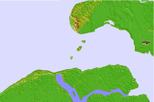
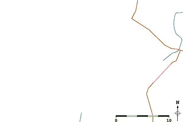
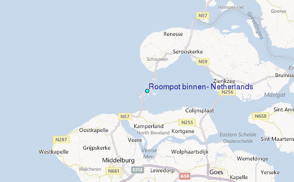
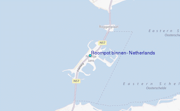
Use this relief map to navigate to tide stations, surf breaks and cities that are in the area of Roompot binnen, Netherlands.
Other Nearby Locations' tide tables and tide charts to Roompot binnen, Netherlands:
click location name for more details
 Surf breaks close to Roompot binnen, Netherlands:
|
||
|---|---|---|
| Closest surf break | Domburg | 10 mi |
| Second closest surf break | Slufter | 22 mi |
| Third closest surf break | Blokken | 24 mi |
| Fourth closest surf break | Maasvlakte | 24 mi |
| Fifth closest surf break | Casino Break | 27 mi |


 Nearest
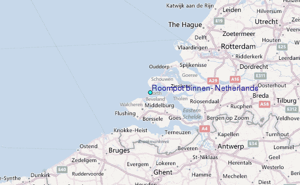