
| Distance / Altitude | Location | Report Date / Time | Live Weather | Wind | Gusts | Temp. | Visibility | Cloud |
|---|---|---|---|---|---|---|---|---|
| 18 km WNW / 50 m | 876 (Guadeloupe) | 2026-07-07 20:00 local (2026/07/08 00:00 GMT) | - | strong winds from the ESE (43 km/h at 103) | 28°C | - | - - 0 | |
| 28 km WSW / 215 m | Le Raizet Airport (Lesser Antilles) | 2026-07-07 19:30 local (2026/07/07 23:30 GMT) | Dry and partly cloudy | light winds from the E (19 km/h at 100) | 28°C | 10.0 | few scattered broken | |
| 28 km WSW / 9 m | Pointe-à-Pitre International Airport (Guadeloupe, Saint Martin, Saint Barthelemy and other French islands in the vicinity) | 2026-07-07 20:00 local (2026/07/08 00:00 GMT) | no report | wind obs. (0 kph from 150 degs) was rejected (- km/h at -) | 24°C | - | - | |
| 82 km S / 339 m | Melville Hall AR Airport (Dominican Republic) | 2026-07-07 19:00 local (2026/07/07 23:00 GMT) | Dry and partly cloudy | light winds from the ESE (13 km/h at 120) | 27°C | 10.0 | scattered scattered | |
| 110 km NW / 6 m | Renfrew (Antigua and Barbuda) | 2026-07-07 20:19 local (2026/07/08 00:19 GMT) | dry | calm (5 km/h at 284) | 27°C | - | - - 0 | |
| 111 km NW / 211 m | Coolidge/Antigua Airport (Lesser Antilles) | 2026-07-07 19:00 local (2026/07/07 23:00 GMT) | - | moderate winds from the E.(Wind varies from 060 to 130 degs) (20 km/h at 90) | 27°C | 10.0 | few | |
| 114 km WNW / 15 m | SHIP768 (Marine) | 2026-07-07 20:00 local (2026/07/08 00:00 GMT) | - (- km/h at -) | — | - km | |||
| 116 km W / 168 m | John Osborne Airport (Montserrat) | 2026-07-07 18:00 local (2026/07/07 22:00 GMT) | Dry and partly cloudy | wind obs. (26 kph from 120 degs) was rejected (- km/h at -) | 26°C | 10.0 | scattered scattered | |
| 122 km WNW / 3 m | SHIP3474 (Marine) | 2026-07-07 18:00 local (2026/07/07 22:00 GMT) | - (- km/h at -) | — | - | |||
| 122 km WNW / 15 m | SHIP2249 (Marine) | 2026-07-07 18:00 local (2026/07/07 22:00 GMT) | - (- km/h at -) | — | - km |
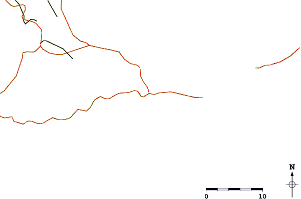
| Contours: | Roads & Rivers: | Select a
tide station / surf break / city |
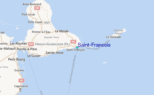
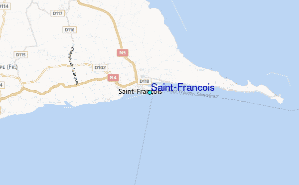
Use this relief map to navigate to tide stations, surf breaks and cities that are in the area of Saint-Francois.
Other Nearby Locations' tide tables and tide charts to Saint-Francois:
click location name for more details
 Surf breaks close to Saint-Francois:
|
||
|---|---|---|
| Closest surf break | Port Francois Harbour | 1 mi |
| Second closest surf break | Anse a La Gourde | 2 mi |
| Third closest surf break | Anse A La Barque | 4 mi |
| Fourth closest surf break | Anse Salabouelle | 4 mi |
| Fifth closest surf break | Alize | 5 mi |


 Nearest
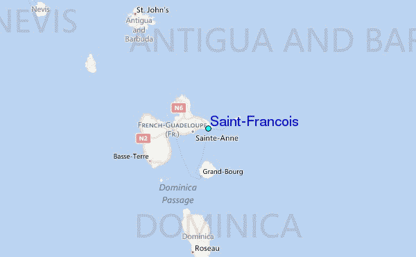