
| Distance / Altitude | Location | Report Date / Time | Live Weather | Wind | Gusts | Temp. | Visibility | Cloud |
|---|---|---|---|---|---|---|---|---|
| 13 km WNW / 22 m | Kippens (Canada) | 2026-05-27 00:55 local (2026/05/27 03:25 GMT) | dry | calm (0 km/h at 34) | — | - | - - 0 | |
| 14 km NW / 42 m | Stephenville Ua- Nfld (Canada) | 2026-05-27 00:30 local (2026/05/27 03:00 GMT) | no report | light winds from the NNE (11 km/h at 30) | 5°C | - | - no observation - | |
| 69 km NE / 152 m | Corner Brook (Canada) | 2026-05-27 00:30 local (2026/05/27 03:00 GMT) | no report | moderate winds from the ENE (20 km/h at 60) | 2°C | - | - no observation - | |
| 102 km SSW / 0 m | Wreckhouse-Nfld (Canada) | 2026-05-27 00:30 local (2026/05/27 03:00 GMT) | - | wind obs. (7 kph from 200 degs) was rejected (- km/h at -) | — | - | - no observation - | |
| 109 km S / 62 m | PortAuxBasques (Canada) | 2026-05-27 00:30 local (2026/05/27 03:00 GMT) | - | calm (0 km/h at 290) | — | - | - no observation - | |
| 114 km SE / 11 m | Burgeo (Canada) | 2026-05-27 00:30 local (2026/05/27 03:00 GMT) | no report | light winds from the ENE (19 km/h at 60) | 7°C | - | - no observation - | |
| 115 km S / 15 m | SHIP5635 (Marine) | 2026-05-26 22:30 local (2026/05/27 01:00 GMT) | light winds from the ENE (14.76 km/h at 70) | — | - km | |||
| 115 km S / 3 m | SHIP8440 (Marine) | 2026-05-26 22:30 local (2026/05/27 01:00 GMT) | light winds from the ENE (15 km/h at 70) | 8°C | - | |||
| 115 km S / 15 m | SHIP5318 (Marine) | 2026-05-26 23:30 local (2026/05/27 02:00 GMT) | light winds from the E (14.76 km/h at 80) | — | - km | |||
| 115 km S / 3 m | SHIP4355 (Marine) | 2026-05-26 23:30 local (2026/05/27 02:00 GMT) | light winds from the E (15 km/h at 80) | 8°C | - |
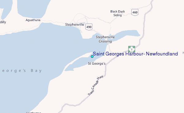
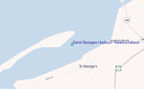
Choose Saint Georges Harbour, Newfoundland Location Map Zoom:
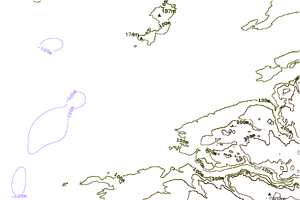
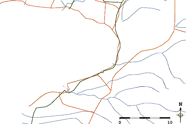
| Contours: | Roads & Rivers: | Select a
tide station / surf break / city |
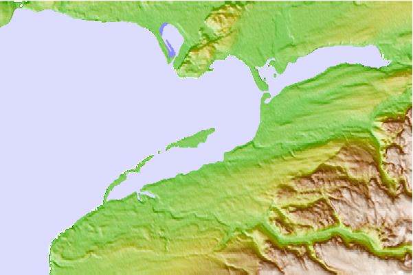
Use this relief map to navigate to tide stations, surf breaks and cities that are in the area of Saint Georges Harbour, Newfoundland.
Other Nearby Locations' tide tables and tide charts to Saint Georges Harbour, Newfoundland:
click location name for more details
 Surf breaks close to Saint Georges Harbour, Newfoundland:
|
||
|---|---|---|
| Closest surf break | Ingonish Beach | 153 mi |
| Second closest surf break | Kennington Cove | 193 mi |
| Third closest surf break | Michaud Point | 224 mi |
| Fourth closest surf break | Martinique | 342 mi |
| Fifth closest surf break | Lawrencetown Left Point | 349 mi |


 Nearest
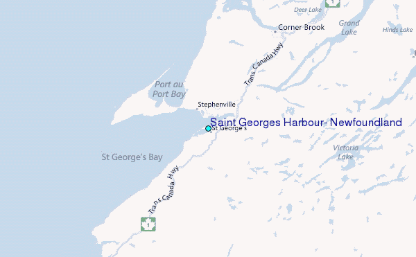