
| Distance / Altitude | Location | Report Date / Time | Live Weather | Wind | Gusts | Temp. | Visibility | Cloud |
|---|---|---|---|---|---|---|---|---|
| 82 km WNW / 15 m | ASCATB343E16N (Marine) | 2024-07-26 22:43 local (2024/07/26 22:43 GMT) | light winds from the WNW (17 km/h at 301) | — | - km | |||
| 98 km SSW / 15 m | ASCATB343E15N (Marine) | 2024-07-26 22:42 local (2024/07/26 22:42 GMT) | light winds from the W (15 km/h at 274) | — | - km | |||
| 150 km WSW / 15 m | SHIP7544 (Marine) | 2024-07-27 01:00 local (2024/07/27 01:00 GMT) | moderate winds from the W (27.720000000000002 km/h at 270) | 28°C | 17.7 km | |||
| 154 km SSE / 9 m | Diourbel (Senegal) | 2024-07-27 00:00 local (2024/07/27 00:00 GMT) | - | light winds from the NW (7 km/h at 320) | — | 0.0 | - - - | |
| 160 km S / 89 m | Blaise Diagne International Airport (Senegal) | 2024-07-27 00:30 local (2024/07/27 00:30 GMT) | Dry and partly cloudy | light winds from the W (7 km/h at 270) | 27°C | 10.0 | few - - | |
| 150 km WSW / - m | SHIP2196 (ocean) | 2024-07-27 01:00 local (2024/07/27 01:00 GMT) | State of sky unchanged | moderate winds from the W (28 km/h at 270) | 27°C | 20 km | mostly cloudy | |
| 153 km SSE / 9 m | Diourbel (Senegal) | 2024-07-27 00:00 local (2024/07/27 00:00 GMT) | - | light winds from the NW (7 km/h at 320) | — | 0.0 | - - - | |
| 159 km S / 89 m | Blaise Diagne International Airport (Senegal) | 2024-07-27 00:30 local (2024/07/27 00:30 GMT) | Dry and partly cloudy | light winds from the W (7 km/h at 270) | 27°C | 10.0 | few - - | |
| 166 km ESE / 21 m | Linguere Airport (Senegal) | 2024-07-27 00:00 local (2024/07/27 00:00 GMT) | Dry and partly cloudy | calm (2 km/h at 260) | 29°C | 10.0 | scattered | |
| 176 km SW / 15 m | ASCATB342E15N (Marine) | 2024-07-26 22:42 local (2024/07/26 22:42 GMT) | light winds from the W (16 km/h at 280) | — | - km |
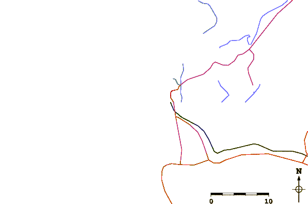
| Contours: | Roads & Rivers: | Select a
tide station / surf break / city |
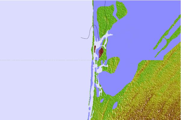
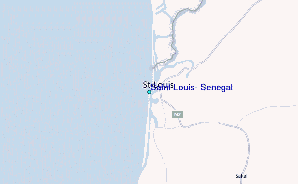
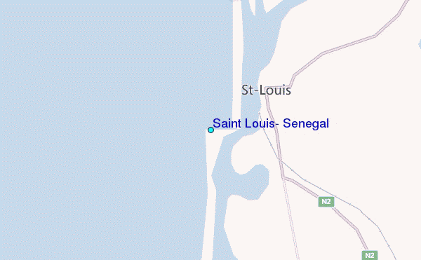
Use this relief map to navigate to tide stations, surf breaks and cities that are in the area of Saint Louis, Senegal.
Other Nearby Locations' tide tables and tide charts to Saint Louis, Senegal:
click location name for more details
 Surf breaks close to Saint Louis, Senegal:
|
||
|---|---|---|
| Closest surf break | Malika Sur Mer | 104 mi |
| Second closest surf break | Yoff Beach | 106 mi |
| Third closest surf break | Yoff Island | 106 mi |
| Fourth closest surf break | Le Virage | 108 mi |
| Fifth closest surf break | Piere de Lisse | 108 mi |

 Nearest
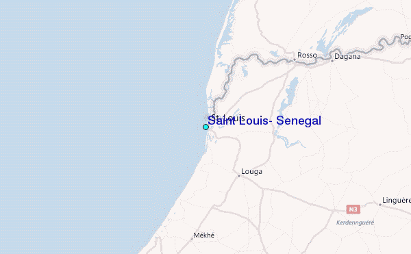