
| Distance / Altitude | Location | Report Date / Time | Live Weather | Wind | Gusts | Temp. | Visibility | Cloud |
|---|---|---|---|---|---|---|---|---|
| 11 km ENE / 499 m | Saint Louis (Senegal) | 2026-07-09 18:00 local (2026/07/09 18:00 GMT) | Dry and partly cloudy | light winds from the WNW.(Wind varies from 250 to 320 degs) (15 km/h at 300) | 29°C | 10.0 | broken - - | |
| 153 km SSE / 9 m | Diourbel (Senegal) | 2026-07-09 18:00 local (2026/07/09 18:00 GMT) | - | light winds from the NW (15 km/h at 320) | — | 0.0 | few - - | |
| 159 km S / 89 m | Blaise Diagne International Airport (Senegal) | 2026-07-09 18:30 local (2026/07/09 18:30 GMT) | Dry and partly cloudy | light winds from the W.(Wind varies from 240 to 300 degs) (19 km/h at 260) | 29°C | 10.0 | few - - | |
| 166 km ESE / 21 m | Linguere Airport (Senegal) | 2026-07-09 18:00 local (2026/07/09 18:00 GMT) | - | moderate winds from the WNW (22 km/h at 300) | — | 0.0 | ||
| 177 km SSW / 219 m | Dakar/Yoff-Léopold Sédar Senghor International Airport (Senegal) | 2026-07-09 18:00 local (2026/07/09 18:00 GMT) | Dry and partly cloudy | light winds from the WSW.(Wind varies from 210 to 300 degs) (11 km/h at 250) | 28°C | 10.0 | broken | |
| 180 km ENE / 7 m | Podor Airport (Senegal) | 2026-07-09 18:00 local (2026/07/09 18:00 GMT) | - | light winds from the NW (19 km/h at 320) | — | 0.0 | ||
| 214 km SSE / 7 m | Kaolack Airport (Senegal) | 2026-07-09 18:00 local (2026/07/09 18:00 GMT) | - | moderate winds from the W (26 km/h at 280) | — | 0.0 | ||
| 261 km NNE / 4 m | Nouakchott/Oumto Airport (Mauritania) | 2026-07-09 18:30 local (2026/07/09 18:30 GMT) | Dry and partly cloudy | moderate winds from the W (24 km/h at 270) | 27°C | 8.0 | broken - - | |
| 297 km S / 162 m | Banjul/Yundum International Airport (Gambia) | 2026-07-09 18:00 local (2026/07/09 18:00 GMT) | Dry and partly cloudy | light winds from the WSW (9 km/h at 250) | 30°C | 10.0 | broken scattered | |
| 352 km E / 17 m | Matam-Ouro Sogui Airport (Senegal) | 2026-07-09 18:00 local (2026/07/09 18:00 GMT) | - | light winds from the W (7 km/h at 280) | — | 0.0 |
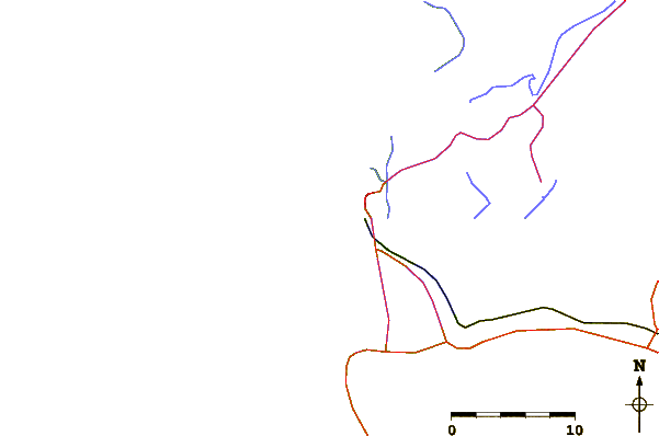
| Contours: | Roads & Rivers: | Select a
tide station / surf break / city |
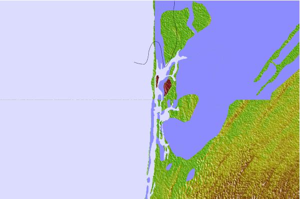
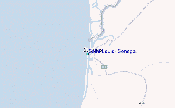
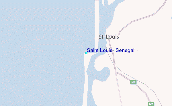
Use this relief map to navigate to tide stations, surf breaks and cities that are in the area of Saint Louis, Senegal.
Other Nearby Locations' tide tables and tide charts to Saint Louis, Senegal:
click location name for more details
 Surf breaks close to Saint Louis, Senegal:
|
||
|---|---|---|
| Closest surf break | Malika Sur Mer | 104 mi |
| Second closest surf break | Yoff Beach | 106 mi |
| Third closest surf break | Yoff Island | 106 mi |
| Fourth closest surf break | Le Virage | 108 mi |
| Fifth closest surf break | Piere de Lisse | 108 mi |


 Nearest
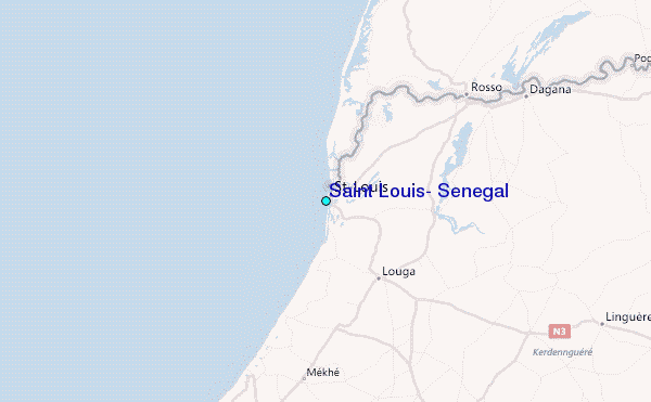