
| Distance / Altitude | Location | Report Date / Time | Live Weather | Wind | Gusts | Temp. | Visibility | Cloud |
|---|---|---|---|---|---|---|---|---|
| 28 km ENE / 3 m | SHIP6283 (Marine) | 2026-05-05 21:00 local (2026/05/06 00:00 GMT) | strong winds from the WSW (42 km/h at 250) | 10°C | - | |||
| 29 km WSW / 16 m | Western Shore wx (Canada) | 2026-05-05 22:11 local (2026/05/06 01:11 GMT) | dry | calm (0 km/h at 0) | 12°C | - | - - 0 | |
| 31 km ENE / 52 m | Halifax Kootenay- NS (Canada) | 2026-05-05 21:30 local (2026/05/06 00:30 GMT) | - | light winds from the W (18 km/h at 260) | — | - | - - - | |
| 32 km E / 10 m | Halifax (Canada) | 2026-05-05 20:42 local (2026/05/05 23:42 GMT) | dry | light winds from the WSW (16 km/h at 245) | 8°C | - | - - 0 | |
| 33 km ENE / 216 m | Mcnabs Island Airport (Nova Scotia) | 2026-05-05 21:00 local (2026/05/06 00:00 GMT) | - | strong winds from the SSW (48 km/h at 210) | 10°C | 0.0 | ||
| 28 km ENE / 15 m | SHIP2773 (Marine) | 2026-05-05 21:00 local (2026/05/06 00:00 GMT) | strong winds from the WSW (42.480000000000004 km/h at 250) | — | - km | |||
| 28 km ENE / 3 m | SHIP1483 (Marine) | 2026-05-05 20:00 local (2026/05/05 23:00 GMT) | strong winds from the WSW (41 km/h at 250) | 10°C | - | |||
| 28 km ENE / 15 m | SHIP3250 (Marine) | 2026-05-05 20:00 local (2026/05/05 23:00 GMT) | strong winds from the WSW (40.68000000000001 km/h at 250) | — | - km | |||
| 28 km ENE / 3 m | SHIP4857 (Marine) | 2026-05-05 20:00 local (2026/05/05 23:00 GMT) | strong winds from the WSW (41 km/h at 250) | 10°C | - | |||
| 28 km ENE / 3 m | SHIP5189 (Marine) | 2026-05-05 21:00 local (2026/05/06 00:00 GMT) | strong winds from the WSW (42 km/h at 250) | 10°C | - |
| Contours: | Roads & Rivers: | Select a
tide station / surf break / city |
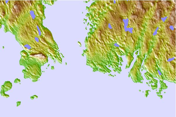
Use this relief map to navigate to tide stations, surf breaks and cities that are in the area of Saint Margarets Bay, Nova Scotia.
Other Nearby Locations' tide tables and tide charts to Saint Margarets Bay, Nova Scotia:
click location name for more details
 Surf breaks close to Saint Margarets Bay, Nova Scotia:
|
||
|---|---|---|
| Closest surf break | Hirtle's Beach (Hartling Bay) | 24 mi |
| Second closest surf break | Cow Bay | 25 mi |
| Third closest surf break | Moose | 25 mi |
| Fourth closest surf break | Osbourne | 26 mi |
| Fifth closest surf break | Backyards | 27 mi |


 Nearest