
| Distance / Altitude | Location | Report Date / Time | Live Weather | Wind | Gusts | Temp. | Visibility | Cloud |
|---|---|---|---|---|---|---|---|---|
| 43 km NNE / 133 m | Deer Park (Canada) | 2026-04-04 21:37 local (2026/04/05 00:07 GMT) | - | light winds from the WNW (8 km/h at 291) | -7°C | - | - - 0 | |
| 46 km S / 3 m | SHIP5992 (Marine) | 2026-04-04 22:30 local (2026/04/05 01:00 GMT) | fresh winds from the N (32 km/h at 10) | -2°C | - | |||
| 48 km SE / 26 m | Cape Race (Aut)- Nfld (Canada) | 2026-04-04 21:30 local (2026/04/05 00:00 GMT) | - | wind obs. (40 kph from 250 degs) was rejected (- km/h at -) | — | - | - | |
| 50 km SE / 211 m | Cape Race Airport (Newfoundland) | 2026-04-04 21:30 local (2026/04/05 00:00 GMT) | - | near gales from the N (61 km/h at 0) | -5°C | 0.0 | ||
| 52 km WNW / 19 m | Argentia(Aut)-Nfld (Canada) | 2026-04-04 21:30 local (2026/04/05 00:00 GMT) | - | fresh winds from the N (30 km/h at 10) | -3°C | - | - no observation - | |
| 49 km S / 3 m | SHIP5505 (Marine) | 2026-04-04 21:30 local (2026/04/05 00:00 GMT) | fresh winds from the N (35 km/h at 360) | -2°C | - | |||
| 49 km S / 3 m | SHIP6170 (Marine) | 2026-04-04 21:30 local (2026/04/05 00:00 GMT) | fresh winds from the N (35 km/h at 360) | -2°C | - | |||
| 49 km S / 3 m | SHIP2085 (Marine) | 2026-04-04 21:30 local (2026/04/05 00:00 GMT) | fresh winds from the N (35 km/h at 360) | -2°C | - | |||
| 50 km SE / 211 m | Cape Race Airport (Newfoundland) | 2026-04-04 21:30 local (2026/04/05 00:00 GMT) | - | near gales from the N (61 km/h at 0) | -5°C | 0.0 | ||
| 52 km WNW / 19 m | Argentia(Aut)-Nfld (Canada) | 2026-04-04 21:30 local (2026/04/05 00:00 GMT) | - | fresh winds from the N (30 km/h at 10) | -3°C | - | - no observation - |
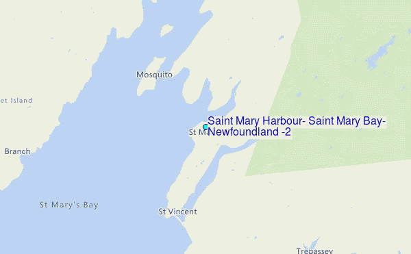
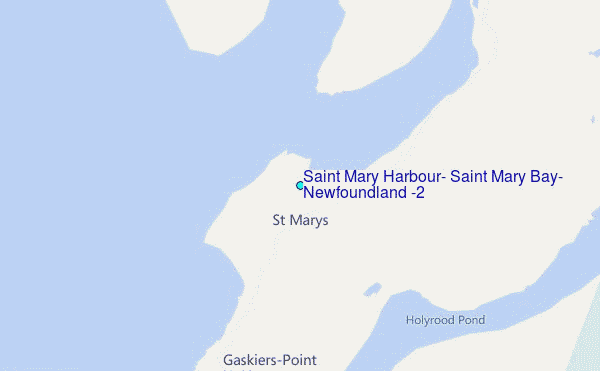
Choose Saint Mary Harbour, Saint Mary Bay, Newfoundland (2) Location Map Zoom:
| Contours: | Roads & Rivers: | Select a
tide station / surf break / city |
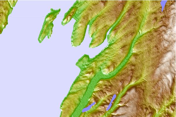
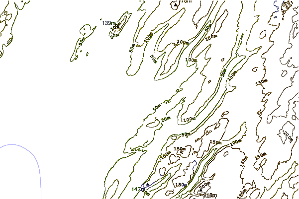
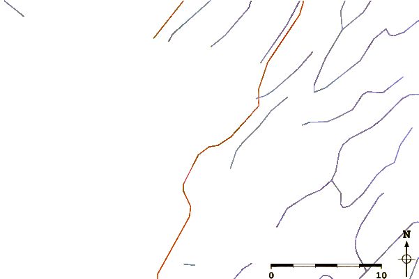
Use this relief map to navigate to tide stations, surf breaks and cities that are in the area of Saint Mary Harbour, Saint Mary Bay, Newfoundland (2).
Other Nearby Locations' tide tables and tide charts to Saint Mary Harbour, Saint Mary Bay, Newfoundland (2):
click location name for more details
 Surf breaks close to Saint Mary Harbour, Saint Mary Bay, Newfoundland (2):
|
||
|---|---|---|
| Closest surf break | Kennington Cove | 317 mi |
| Second closest surf break | Ingonish Beach | 323 mi |
| Third closest surf break | Michaud Point | 352 mi |
| Fourth closest surf break | Martinique | 486 mi |
| Fifth closest surf break | Lawrencetown Left Point | 495 mi |


 Nearest
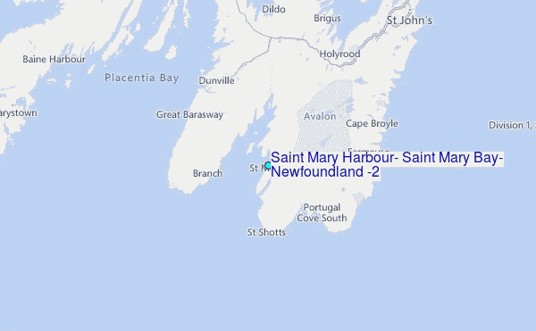