
| Distance / Altitude | Location | Report Date / Time | Live Weather | Wind | Gusts | Temp. | Visibility | Cloud |
|---|---|---|---|---|---|---|---|---|
| 9 km S / 218 m | Saipan International Airport (Micronesia) | 2026-03-30 10:30 local (2026/03/30 00:30 GMT) | Dry and partly cloudy | moderate winds from the NE (22 km/h at 50) | 27°C | 16 | few scattered broken | |
| 10 km WNW / 3 m | Tanapag Buoy- Saipan (Marine) | 2026-03-30 11:00 local (2026/03/30 01:00 GMT) | - (- km/h at -) | 27°C | - | |||
| 26 km S / 449 m | Peipeinimaru Airport (Guam) | 2026-03-30 09:55 local (2026/03/29 23:55 GMT) | Light rain | light winds from the ENE (11 km/h at 60) | 26°C | 11 | scattered broken overcast | |
| 38 km NNE / 15 m | ASCATB146E16N (Marine) | 2026-03-30 09:03 local (2026/03/29 23:03 GMT) | fresh winds from the NNE (32 km/h at 28) | — | - km | |||
| 75 km S / 15 m | ASCATB146E15N (Marine) | 2026-03-30 09:04 local (2026/03/29 23:04 GMT) | light winds from the E (16 km/h at 93) | — | - km | |||
| 101 km ENE / 15 m | ASCATB147E16N (Marine) | 2026-03-30 09:03 local (2026/03/29 23:03 GMT) | fresh winds from the NE (31 km/h at 50) | — | - km | |||
| 116 km SE / 15 m | ASCATB147E15N (Marine) | 2026-03-30 09:04 local (2026/03/29 23:04 GMT) | light winds from the E (15 km/h at 84) | — | - km | |||
| 123 km S / 472 m | Rota International Airport (Micronesia) | 2026-03-30 09:50 local (2026/03/29 23:50 GMT) | Dry and partly cloudy | light winds from the E (17 km/h at 90) | 29°C | 11 | broken | |
| 133 km W / 15 m | ASCATB145E16N (Marine) | 2026-03-30 09:04 local (2026/03/29 23:04 GMT) | fresh winds from the NE (36 km/h at 42) | — | - km | |||
| 147 km SW / 15 m | ASCATB145E15N (Marine) | 2026-03-30 09:04 local (2026/03/29 23:04 GMT) | fresh winds from the NNE (30 km/h at 32) | — | - km |
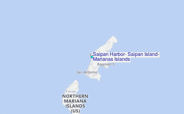
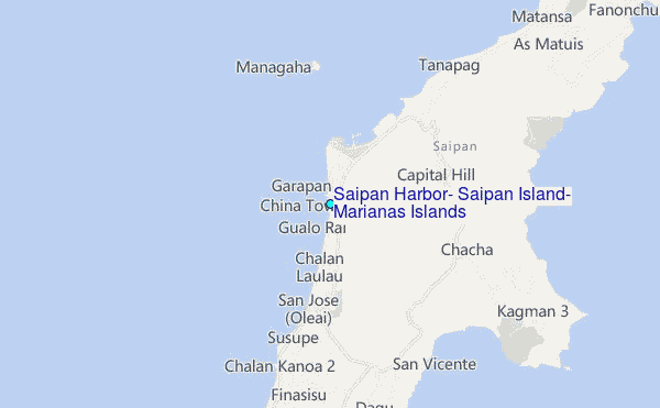
Choose Saipan Harbor, Saipan Island, Marianas Islands Location Map Zoom:
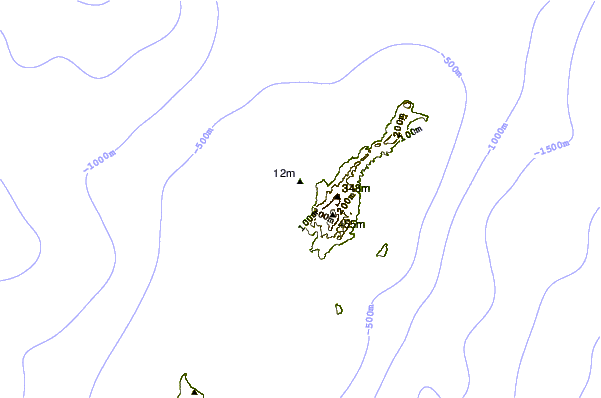
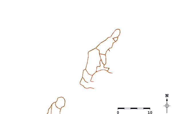
| Contours: | Roads & Rivers: | Select a
tide station / surf break / city |
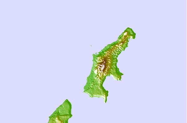
Use this relief map to navigate to tide stations, surf breaks and cities that are in the area of Saipan Harbor, Saipan Island, Marianas Islands.
Other Nearby Locations' tide tables and tide charts to Saipan Harbor, Saipan Island, Marianas Islands:
click location name for more details
 Surf breaks close to Saipan Harbor, Saipan Island, Marianas Islands:
|
||
|---|---|---|
| Closest surf break | Tank Beach | 7 mi |
| Second closest surf break | Bird Island | 9 mi |
| Third closest surf break | Ricks Reef | 134 mi |
| Fourth closest surf break | Boat Basin Lefts | 135 mi |
| Fifth closest surf break | Boat Basin Rights | 135 mi |


 Nearest
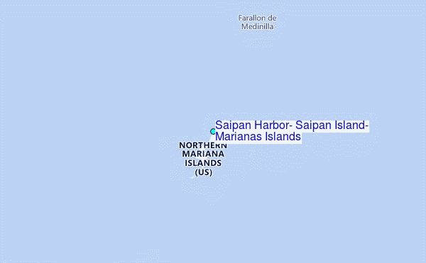