
| Distance / Altitude | Location | Report Date / Time | Live Weather | Wind | Gusts | Temp. | Visibility | Cloud |
|---|---|---|---|---|---|---|---|---|
| 226 km W / 113 m | Nosy Be/Fascene Airport (Comoros) | 2025-12-25 14:00 local (2025/12/25 11:00 GMT) | - | calm (4 km/h at 320) | 32°C | 10.0 | few | |
| 235 km NW / 294 m | Diego-Suárez/Arrachart Airport (Comoros) | 2025-12-25 15:00 local (2025/12/25 12:00 GMT) | Shower - in the vicinity | moderate winds from the SE (22 km/h at 140) | 31°C | 10.0 | scattered | |
| 436 km S / 195 m | Tamatave/Toamasina Airport (Comoros) | 2025-12-25 14:00 local (2025/12/25 11:00 GMT) | Dry and partly cloudy | light winds from the ESE.(Wind varies from 080 to 160 degs) (9 km/h at 120) | 29°C | 10.0 | scattered broken | |
| 439 km SW / 194 m | Majunga/Mahajanga Airport (Comoros) | 2025-12-25 14:00 local (2025/12/25 11:00 GMT) | - | moderate winds from the N (22 km/h at 350) | 32°C | 10.0 | few | |
| 554 km W / 411 m | Dzaoudzi/Pamanzi Airport (Comoros) | 2025-12-25 14:30 local (2025/12/25 11:30 GMT) | Dry and partly cloudy | light winds from the N.(Wind varies from 340 to 050 degs) (19 km/h at 10) | 30°C | 10.0 | few scattered | |
| 579 km S / 1388 m | Antananarivo/Ivato Airport (Comoros) | 2025-12-25 14:00 local (2025/12/25 11:00 GMT) | - | wind obs. (17 kph from 70 degs) was rejected (- km/h at -) | — | 6.0 | few scattered broken | |
| 747 km ESE / 15 m | SHIP6774 (Marine) | 2025-12-25 15:00 local (2025/12/25 12:00 GMT) | moderate winds from the E (25.92 km/h at 100) | 26°C | 17.7 km | |||
| 747 km ESE / 3 m | SHIP5854 (Marine) | 2025-12-25 15:00 local (2025/12/25 12:00 GMT) | moderate winds from the E (26 km/h at 100) | 29°C | 20.4 | |||
| 747 km ESE / 3 m | SHIP9234 (Marine) | 2025-12-25 15:00 local (2025/12/25 12:00 GMT) | moderate winds from the E (26 km/h at 100) | 29°C | 20.4 | |||
| 821 km ENE / 4 m | Agalega (Mauritius) | 2025-12-25 14:00 local (2025/12/25 11:00 GMT) | Distant precipitation but not falling at station | light winds from the E (9 km/h at 80) | 31°C | 32 km | - mostly cloudy - |
| Contours: | Roads & Rivers: | Select a
tide station / surf break / city |
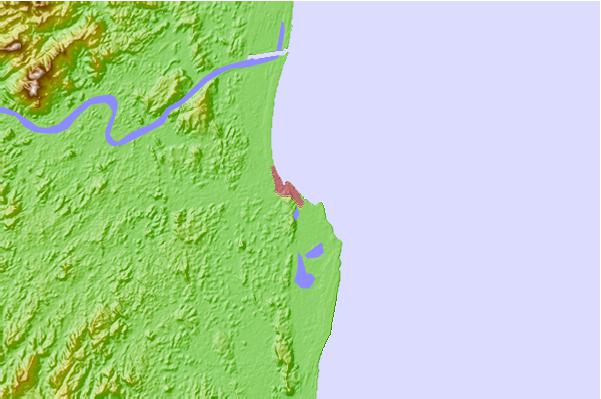
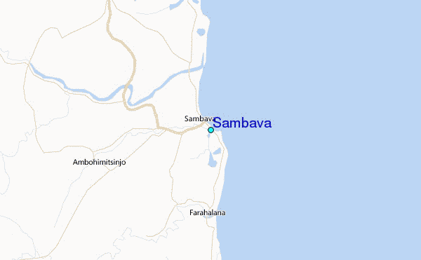
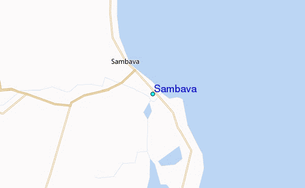
Use this relief map to navigate to tide stations, surf breaks and cities that are in the area of Sambava.
Other Nearby Locations' tide tables and tide charts to Sambava:
click location name for more details
 Surf breaks close to Sambava:
|
||
|---|---|---|
| Closest surf break | Le Port | 571 mi |
| Second closest surf break | Boucan Lefts | 573 mi |
| Third closest surf break | Boucan Rights | 573 mi |
| Fourth closest surf break | Barachois | 574 mi |
| Fifth closest surf break | Bout de L'Etang | 574 mi |


 Nearest
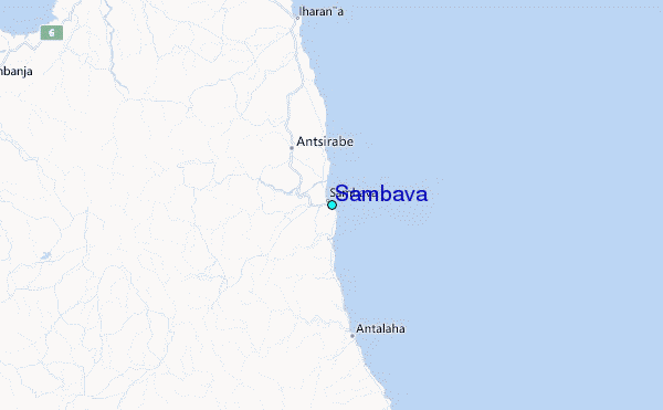