
| Distance / Altitude | Location | Report Date / Time | Live Weather | Wind | Gusts | Temp. | Visibility | Cloud |
|---|---|---|---|---|---|---|---|---|
| 176 km ENE / 15 m | ASCATB52E14S (Marine) | 2026-07-09 20:05 local (2026/07/09 17:05 GMT) | fresh winds from the SSE (32 km/h at 161) | — | - km | |||
| 178 km E / 15 m | ASCATB52E15S (Marine) | 2026-07-09 20:05 local (2026/07/09 17:05 GMT) | moderate winds from the S (28 km/h at 170) | — | - km | |||
| 234 km NE / 15 m | ASCATB51E13S (Marine) | 2026-07-09 20:06 local (2026/07/09 17:06 GMT) | fresh winds from the S (33 km/h at 170) | — | - km | |||
| 244 km NE / 15 m | ASCATB52E13S (Marine) | 2026-07-09 20:06 local (2026/07/09 17:06 GMT) | fresh winds from the S (33 km/h at 169) | — | - km | |||
| 284 km ESE / 15 m | ASCATB52E16S (Marine) | 2026-07-09 20:05 local (2026/07/09 17:05 GMT) | moderate winds from the SSE (24 km/h at 153) | — | - km | |||
| 294 km ENE / 15 m | ASCATB53E14S (Marine) | 2026-07-09 20:05 local (2026/07/09 17:05 GMT) | moderate winds from the ESE (28 km/h at 119) | — | - km | |||
| 304 km E / 15 m | ASCATB53E15S (Marine) | 2026-07-09 20:05 local (2026/07/09 17:05 GMT) | fresh winds from the ESE (33 km/h at 114) | — | - km | |||
| 336 km NE / 15 m | ASCATB53E13S (Marine) | 2026-07-09 20:06 local (2026/07/09 17:06 GMT) | moderate winds from the ESE (24 km/h at 118) | — | - km | |||
| 336 km NNE / 15 m | ASCATB51E12S (Marine) | 2026-07-09 20:06 local (2026/07/09 17:06 GMT) | fresh winds from the SSE (35 km/h at 164) | — | - km | |||
| 341 km ESE / 15 m | ASCATB53E16S (Marine) | 2026-07-09 20:05 local (2026/07/09 17:05 GMT) | fresh winds from the ESE (30 km/h at 118) | — | - km |
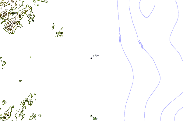
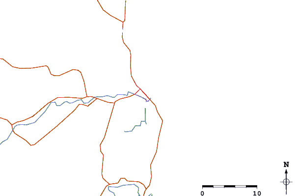
| Contours: | Roads & Rivers: | Select a
tide station / surf break / city |
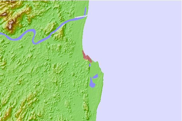
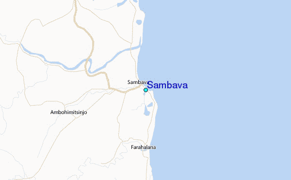
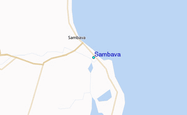
Use this relief map to navigate to tide stations, surf breaks and cities that are in the area of Sambava.
Other Nearby Locations' tide tables and tide charts to Sambava:
click location name for more details
 Surf breaks close to Sambava:
|
||
|---|---|---|
| Closest surf break | Le Port | 571 mi |
| Second closest surf break | Boucan Lefts | 573 mi |
| Third closest surf break | Boucan Rights | 573 mi |
| Fourth closest surf break | Barachois | 574 mi |
| Fifth closest surf break | Bout de L'Etang | 574 mi |


 Nearest
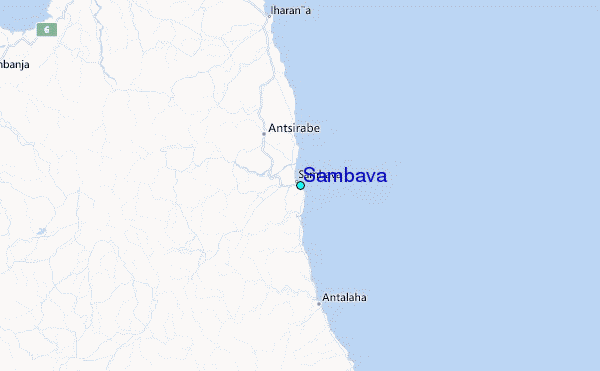