
| Distance / Altitude | Location | Report Date / Time | Live Weather | Wind | Gusts | Temp. | Visibility | Cloud |
|---|---|---|---|---|---|---|---|---|
| 6 km ENE / 10 m | Halifax (Canada) | 2025-12-25 19:32 local (2025/12/25 23:32 GMT) | - | calm (2 km/h at 4) | -5°C | - | - - 0 | |
| 12 km NNE / 52 m | Halifax Kootenay- NS (Canada) | 2025-12-25 20:00 local (2025/12/26 00:00 GMT) | - | wind obs. (18 kph from 260 degs) was rejected (- km/h at -) | — | - | - | |
| 13 km N / 15 m | SHIP8601 (Marine) | 2025-12-25 18:00 local (2025/12/25 22:00 GMT) | calm (5.4 km/h at 40) | — | - km | |||
| 13 km N / 3 m | SHIP8010 (Marine) | 2025-12-25 18:00 local (2025/12/25 22:00 GMT) | calm (5 km/h at 40) | -6°C | - | |||
| 13 km N / 3 m | SHIP6209 (Marine) | 2025-12-25 18:00 local (2025/12/25 22:00 GMT) | light winds from the ENE (9 km/h at 60) | -6°C | - | |||
| 13 km N / 15 m | SHIP4108 (Marine) | 2025-12-25 18:00 local (2025/12/25 22:00 GMT) | light winds from the ENE (9.360000000000001 km/h at 60) | — | - km | |||
| 13 km N / 15 m | SHIP4276 (Marine) | 2025-12-25 18:00 local (2025/12/25 22:00 GMT) | calm (5.4 km/h at 40) | — | - km | |||
| 13 km N / 3 m | SHIP8003 (Marine) | 2025-12-25 18:00 local (2025/12/25 22:00 GMT) | light winds from the ENE (9 km/h at 60) | -6°C | - | |||
| 13 km N / 3 m | SHIP5513 (Marine) | 2025-12-25 18:00 local (2025/12/25 22:00 GMT) | calm (5 km/h at 40) | -6°C | - | |||
| 13 km N / 3 m | SHIP5840 (Marine) | 2025-12-25 19:00 local (2025/12/25 23:00 GMT) | light winds from the NE (18 km/h at 40) | -6°C | - |
| Contours: | Roads & Rivers: | Select a
tide station / surf break / city |
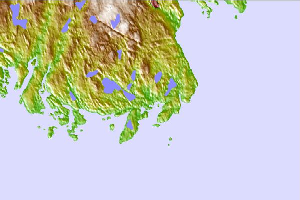
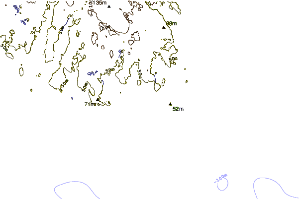
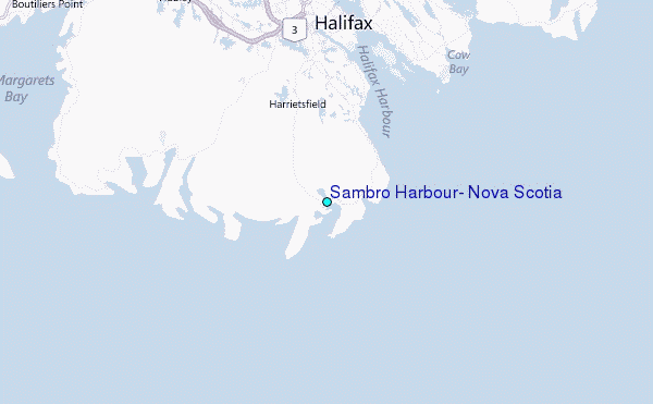
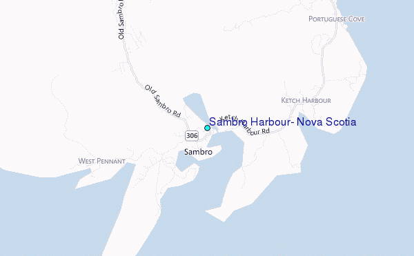
Use this relief map to navigate to tide stations, surf breaks and cities that are in the area of Sambro Harbour, Nova Scotia.
Other Nearby Locations' tide tables and tide charts to Sambro Harbour, Nova Scotia:
click location name for more details
 Surf breaks close to Sambro Harbour, Nova Scotia:
|
||
|---|---|---|
| Closest surf break | Cow Bay | 12 mi |
| Second closest surf break | Moose | 12 mi |
| Third closest surf break | Backyards | 13 mi |
| Fourth closest surf break | Osbourne | 13 mi |
| Fifth closest surf break | Minutes | 14 mi |


 Nearest
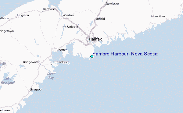